MyTopo
Classic USGS Marathon SW Wisconsin 7.5'x7.5' Topo Map
Regular price
$16.95
Regular price
Sale price
$16.95
Unit price
per
Couldn't load pickup availability
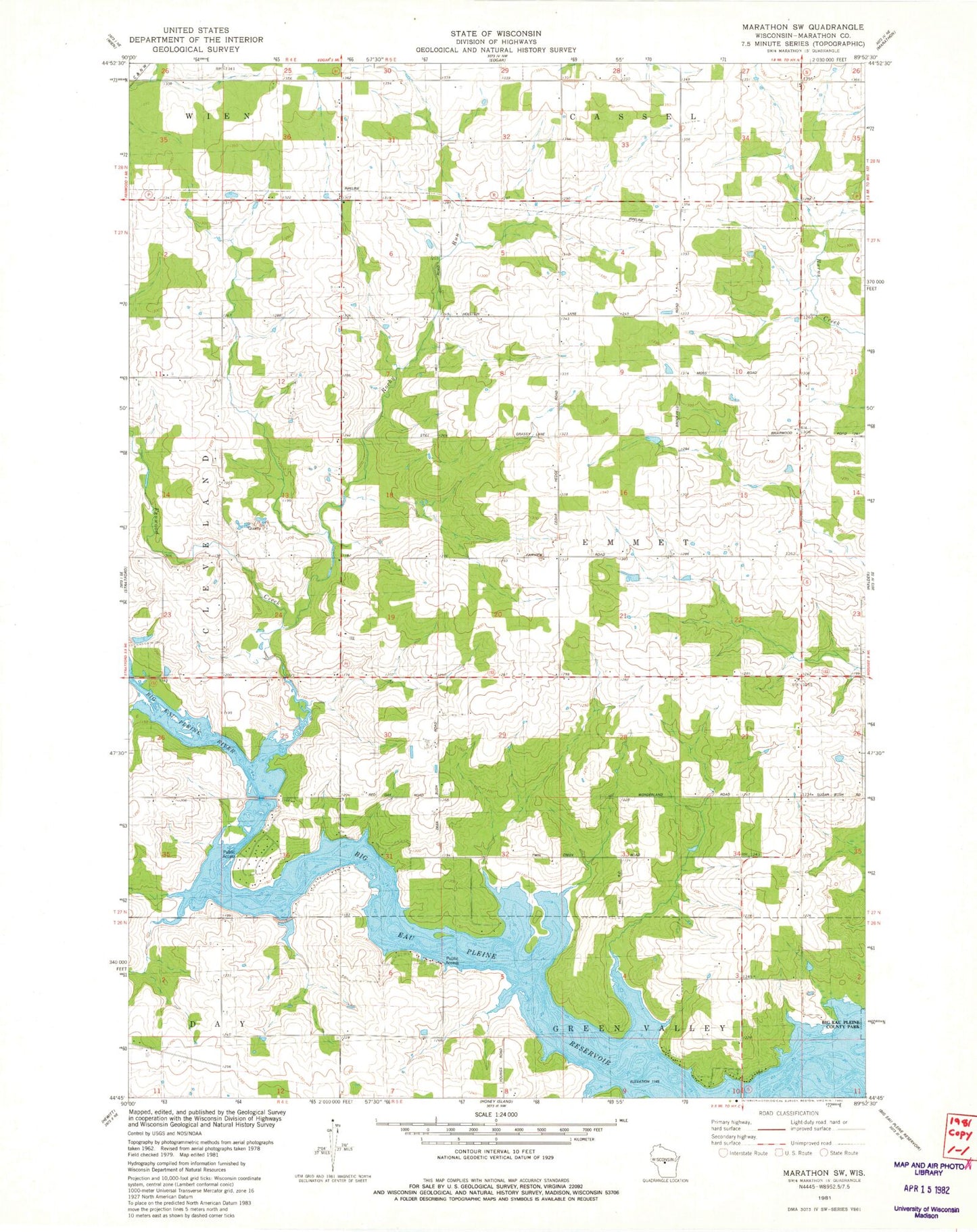
Historical USGS topographic quad map of Marathon SW in the state of Wisconsin. Map scale may vary for some years, but is generally around 1:24,000. Print size is approximately 24" x 27"
This quadrangle is in the following counties: Marathon.
The map contains contour lines, roads, rivers, towns, and lakes. Printed on high-quality waterproof paper with UV fade-resistant inks, and shipped rolled.
Contains the following named places: Baumann Dairy Farms, Big Eau Pleine Reservoir, Fenwood Creek, Kaisers Jersey Farm, Ludington School, Maguire Field, Quiet Acres, Rock Ridge Orchard, Rocky Run, Sunshine School, Town of Emmet, Willies School