MyTopo
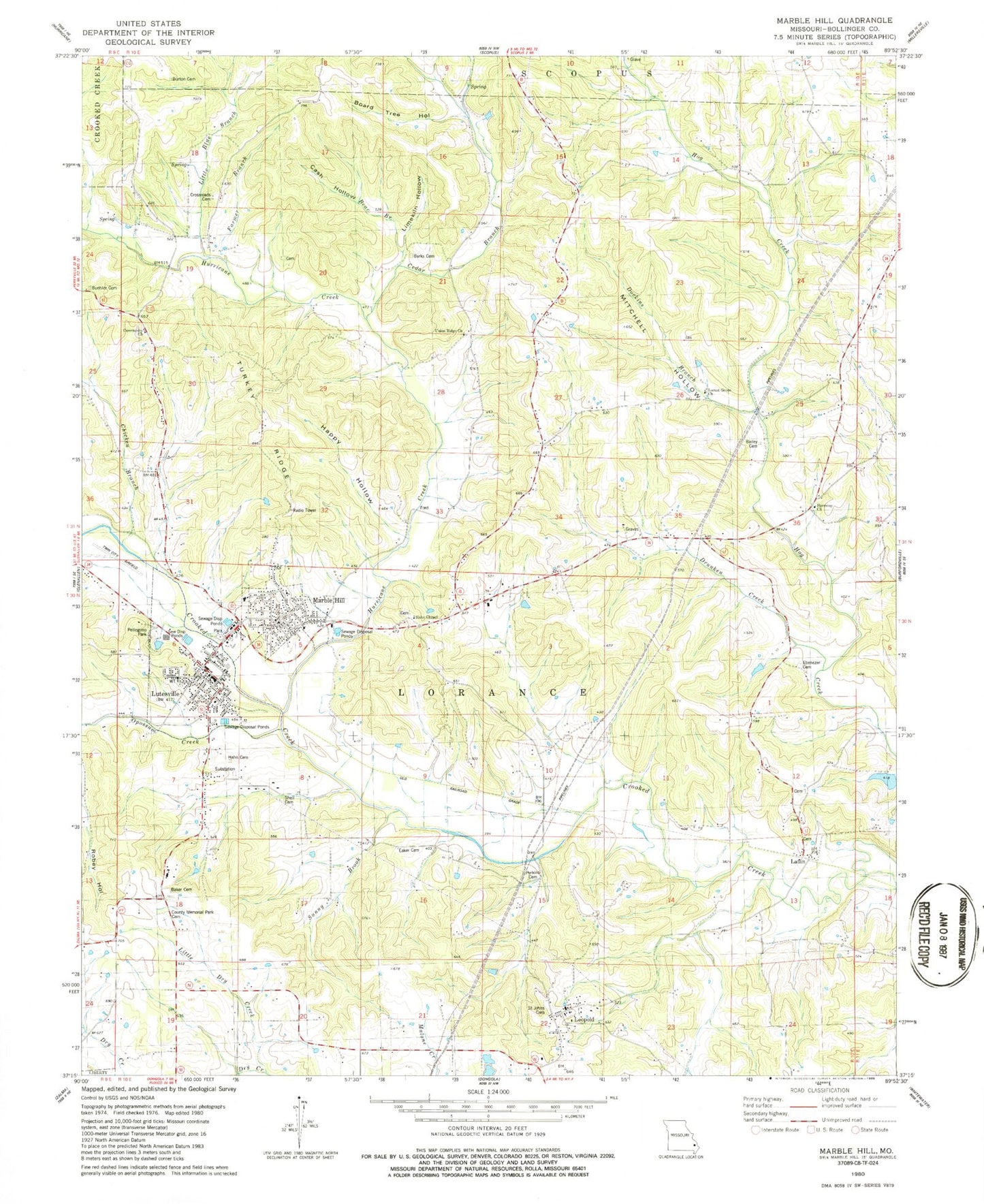
Classic USGS Marble Hill Missouri 7.5'x7.5' Topo Map
Couldn't load pickup availability
Historical USGS topographic quad map of Marble Hill in the state of Missouri. Map scale may vary for some years, but is generally around 1:24,000. Print size is approximately 24" x 27"
This quadrangle is in the following counties: Bollinger.
The map contains contour lines, roads, rivers, towns, and lakes. Printed on high-quality waterproof paper with UV fade-resistant inks, and shipped rolled.
Contains the following named places: Bailey Cemetery, Baker Cemetery, Barks Cemetery, Bear Branch, Board Tree Hollow, Bollinger County Memorial Park Cemetery, Bollinger County Sheriff's Office, Bollinger Lake, Bollinger Lake Dam, Buehler Cemetery, Burton Cemetery, Cash Hollow, Cedar Branch, Chicken Branch, City of Marble Hill, Community Church, Dockins Branch, Drunken Creek, Eaker Cemetery, Ebenezer Cemetery, Farmer Branch, Hahn Cemetery, Hahn Chapel, Hamestring School, Happy Hollow, Harmony Church, Hurricane Creek, Huskey, Huskey School, Ira Biffle Airfield, Laflin, Leopold, Leopold School, Leopold Volunteer Fire Department Station 1, Limekiln Hollow, Little Blue Branch, Little Dry Creek, Locust Grove Church, Lone Grove School, Lukefahr Lake, Lukefahr Lake Dam, Lutesville, Marble Hill, Marble Hill Cemetery, Marble Hill Fire and Rescue, Marble Hill Post Office, Missouri Department of Conservation Forestry Southeast Regional Field Fire Office Marble Hill, Mitchell Hollow, Oak Mound School, Opossum Creek, Pellegrino Park, Perkins Cemetery, Revel School, Saint Johns Cemetery, Saint Johns Church, Shell Cemetery, Shrum Lake Dam, Sunny Brook, Thornburgh School, Township of Lorance, Turkey Hill, Turkey Ridge, Union Ridge Church, Union Ridge School, ZIP Code: 63764


