MyTopo
Classic USGS Marble Arkansas 7.5'x7.5' Topo Map
Couldn't load pickup availability
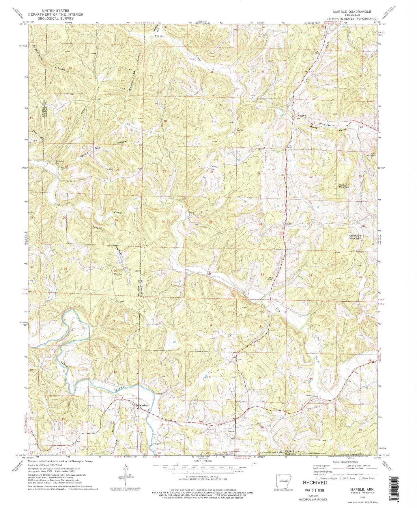
Historical USGS topographic quad map of Marble in the state of Arkansas. Map scale may vary for some years, but is generally around 1:24,000. Print size is approximately 24" x 27"
This quadrangle is in the following counties: Carroll, Madison.
The map contains contour lines, roads, rivers, towns, and lakes. Printed on high-quality waterproof paper with UV fade-resistant inks, and shipped rolled.
Contains the following named places: Big Onion Creek, Brushy Hollow, Cave Spring, Cedar Creek, Chinkapin Mountain, Dean, Dean Cemetery, Dean School, Lower Campground Church, Marble, Marble Volunteer Fire Department, McAlister Airpark, Merl Cemetery, Metalton, Rays Cove, Sites Branch, Smith Heliport, Tarkiln Hollow, Township of Omega, Wagon Shed Hollow, Walker Mountain, White Oak Cemetery, White Oak Church, White Oak Hollow, Wolf Pen