MyTopo
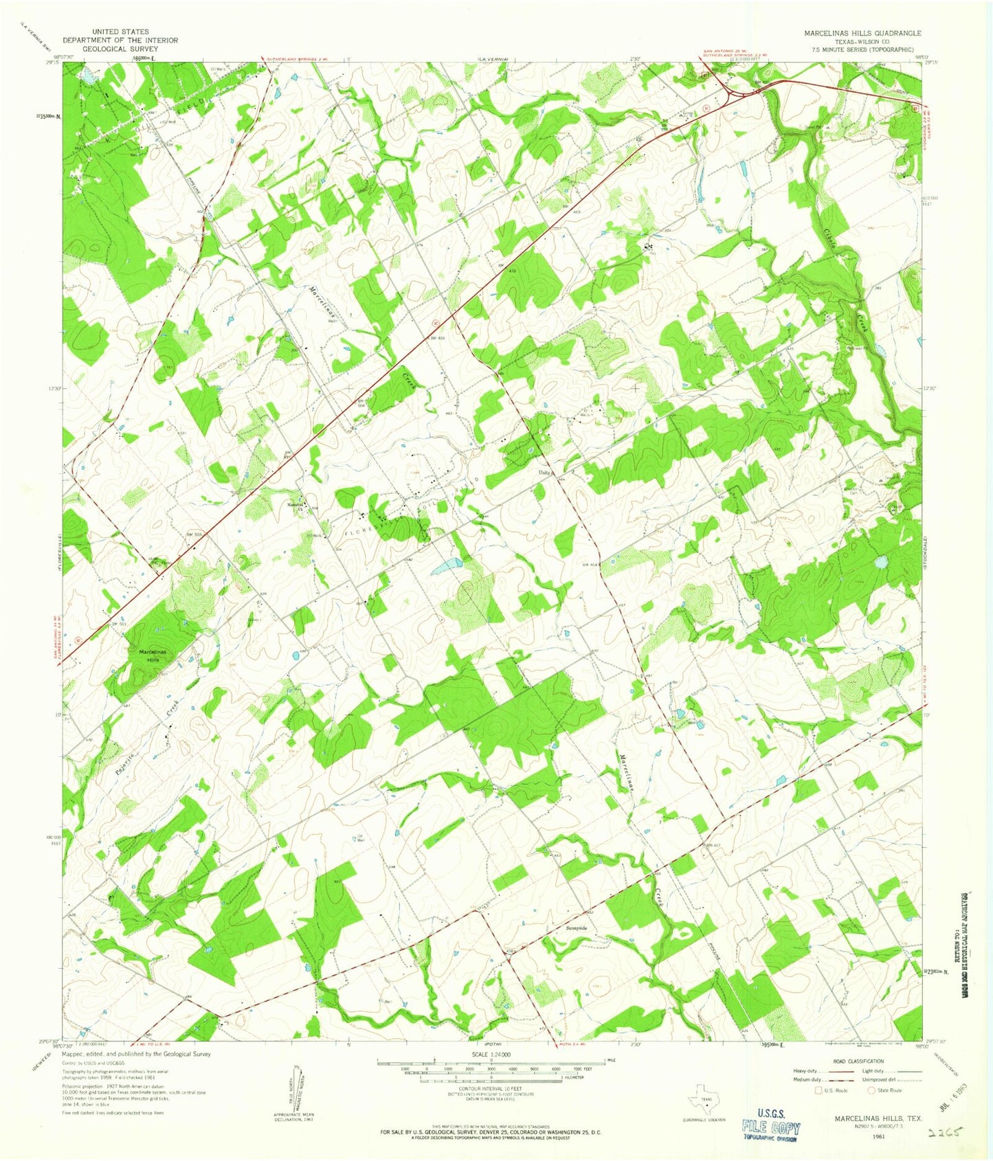
Classic USGS Marcelinas Hills Texas 7.5'x7.5' Topo Map
Regular price
$16.95
Regular price
Sale price
$16.95
Unit price
per
Couldn't load pickup availability
Historical USGS topographic quad map of Marcelinas Hills in the state of Texas. Map scale may vary for some years, but is generally around 1:24,000. Print size is approximately 24" x 27"
This quadrangle is in the following counties: Wilson.
The map contains contour lines, roads, rivers, towns, and lakes. Printed on high-quality waterproof paper with UV fade-resistant inks, and shipped rolled.
Contains the following named places: Clifton Branch, Floresville Oil Field, Gillingham Airport, Haverlah East Farm Airport, Marcelina Church, Marcelinas Hills, Sunnyside, Texas No Name Number 17 Dam, Unity, Wheeler Cemetery, Wilson County