MyTopo
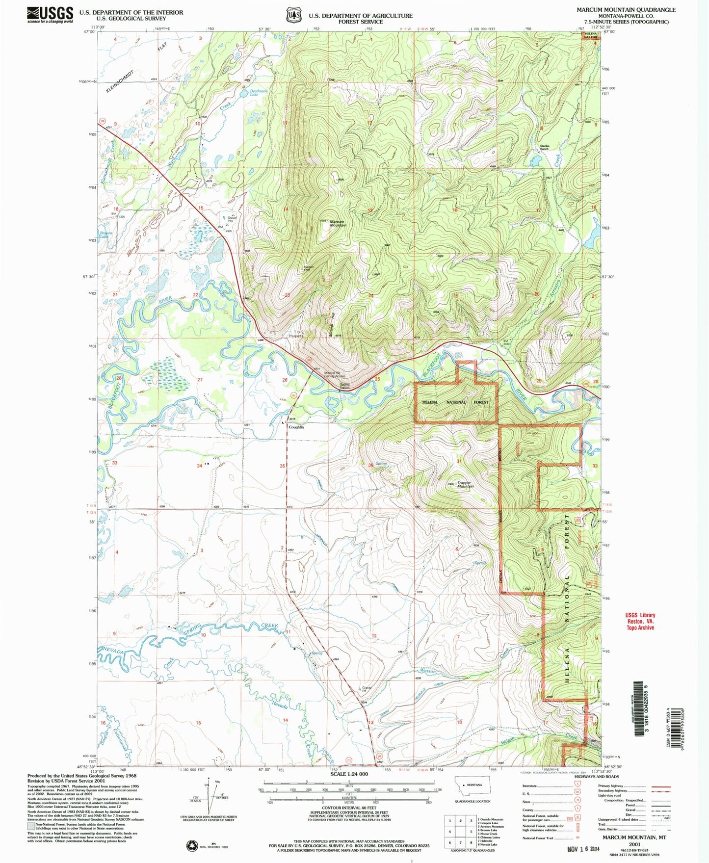
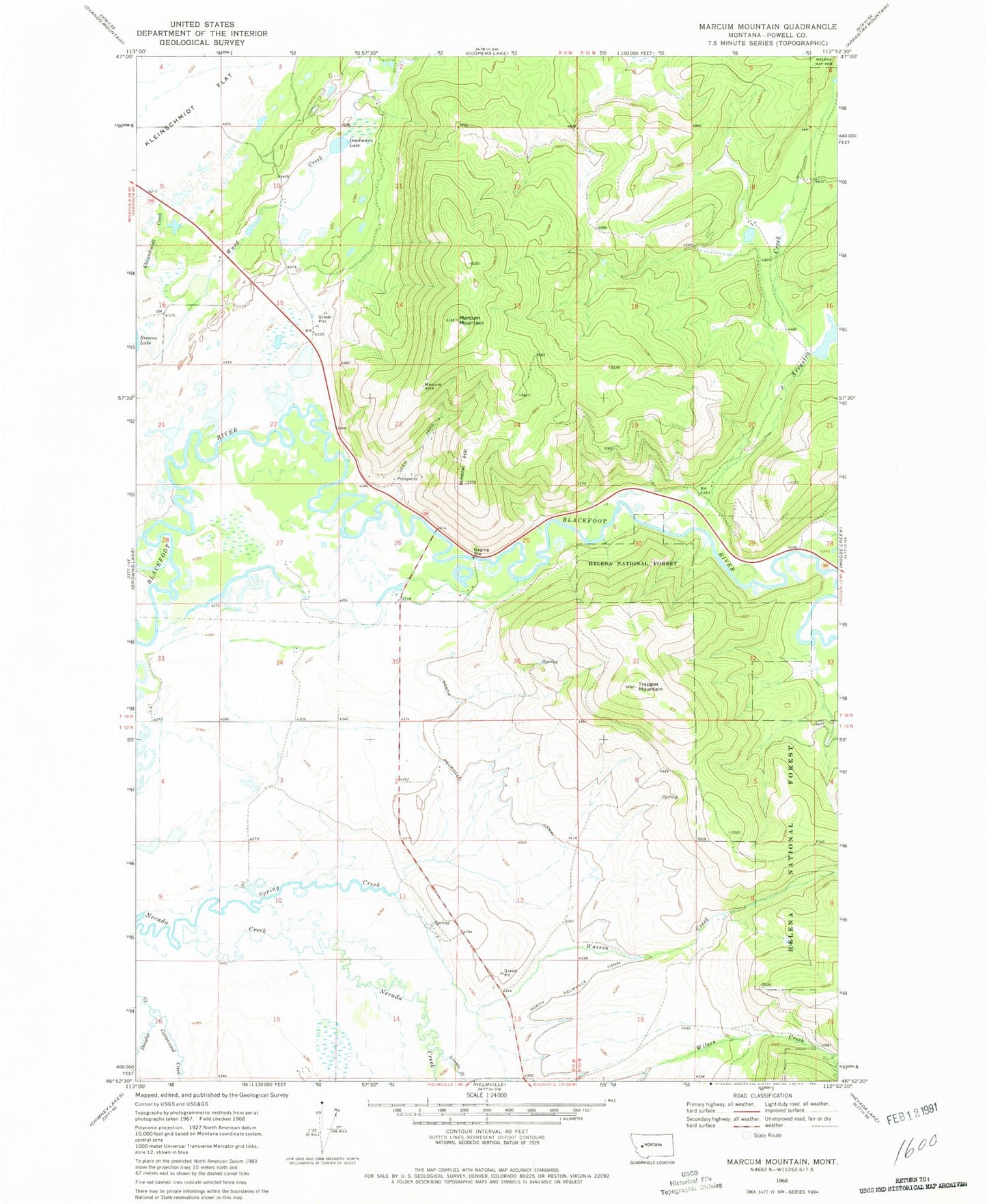
Classic USGS Marcum Mountain Montana 7.5'x7.5' Topo Map
Couldn't load pickup availability
Historical USGS topographic quad map of Marcum Mountain in the state of Montana. Map scale may vary for some years, but is generally around 1:24,000. Print size is approximately 24" x 27"
This quadrangle is in the following counties: Powell.
The map contains contour lines, roads, rivers, towns, and lakes. Printed on high-quality waterproof paper with UV fade-resistant inks, and shipped rolled.
Contains the following named places: 13N11W02ADCA01 Well, 13N11W15DCDC01 Well, 14N11W16AAAD01 Well, 14N11W33BDD_01 Well, 14N11W33CDAC01 Well, 14N11W34ACCA01 Well, 14N11W35BAAA01 Well, Arrastra Creek, Copenhagen Dam, Cottonwood Creek, Coughlin, Deadmans Lake, French Town Mine, Hungry Hill Mine, Lincoln Canyon Fishing Access Site, Lincoln Slough, Marcum Mountain, Mineral Hill, Mineral Hill Sportsmans Access, Nevada Mine, North Helmville Canal, NW NE Section 17 Mine, NW SE Section 9 Mine, Powell County Waterfowl Production Area, Republican Mine, Shores Creek, Spring Creek, Steeles Dude Ranch, Trapper Mountain, Wasson Creek


