MyTopo
Classic USGS Marengo Lake Wisconsin 7.5'x7.5' Topo Map
Couldn't load pickup availability
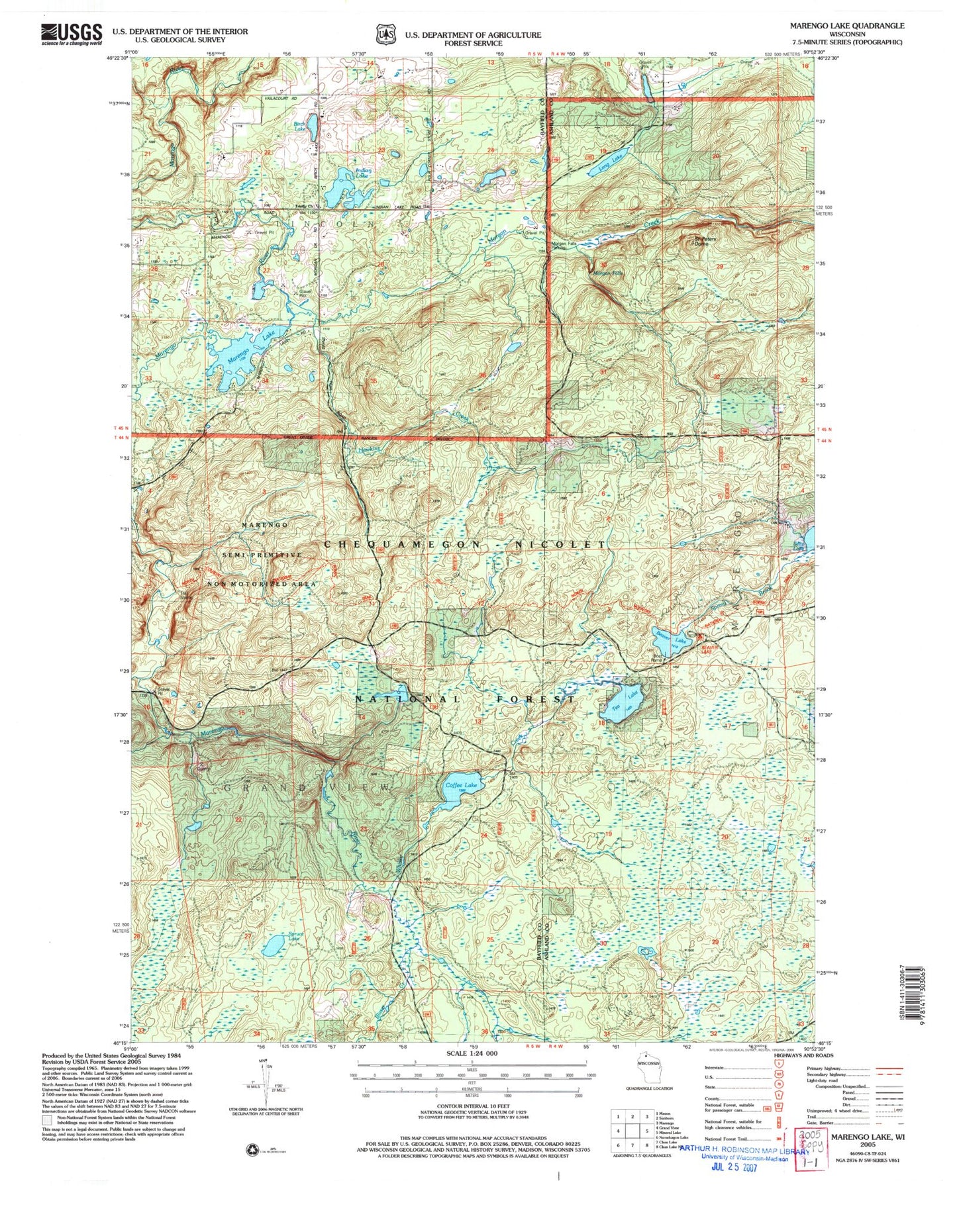
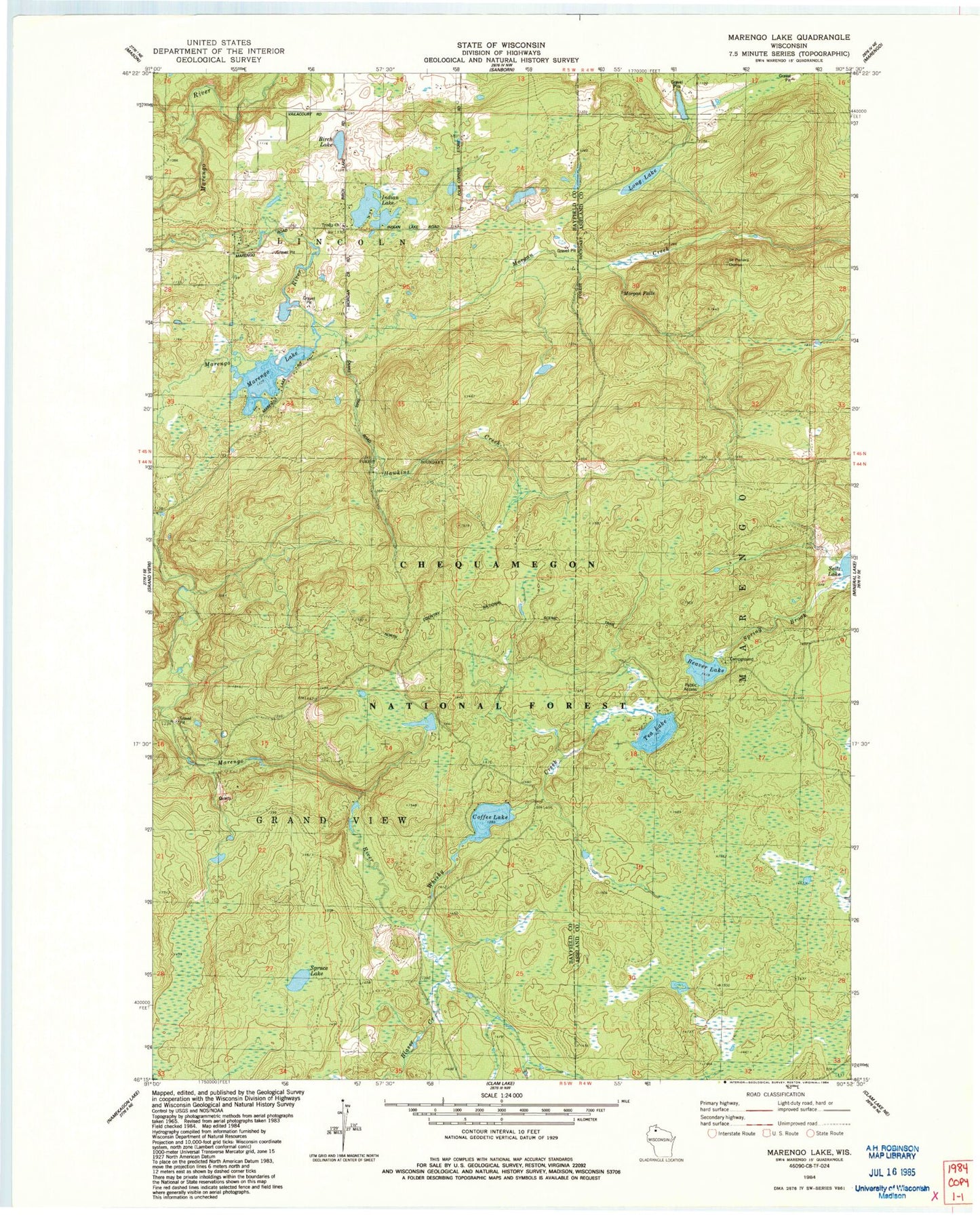
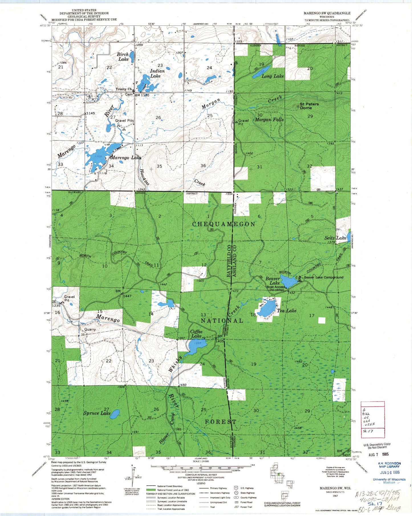
Historical USGS topographic quad map of Marengo Lake in the state of Wisconsin. Typical map scale is 1:24,000, but may vary for certain years, if available. Print size: 24" x 27"
This quadrangle is in the following counties: Ashland, Bayfield.
The map contains contour lines, roads, rivers, towns, and lakes. Printed on high-quality waterproof paper with UV fade-resistant inks, and shipped rolled.
Contains the following named places: Beaver Lake, Birch Lake, Blaser Creek, Coffee Lake, Indian Lake, Long Lake, Marengo Lake, Marengo River, Morgan Creek, Morgan Falls, Saint Peters Dome, Seitz Lake, Spruce Lake, Tea Lake, Trinity Church, Whisky Creek, Hawkins Creek, Beaver Lake Recreation, Morgan Falls and Saint Peters Dome Point of Interest, Spring Brook, Mud Lake, Town of Lincoln, Marengo 2WP85 Dam, Mikinaak Lake, Beaver Lake, Birch Lake, Blaser Creek, Coffee Lake, Indian Lake, Long Lake, Marengo Lake, Marengo River, Morgan Creek, Morgan Falls, Saint Peters Dome, Seitz Lake, Spruce Lake, Tea Lake, Trinity Church, Whisky Creek, Hawkins Creek, Beaver Lake Recreation, Morgan Falls and Saint Peters Dome Point of Interest, Spring Brook, Mud Lake, Town of Lincoln, Marengo 2WP85 Dam, Mikinaak Lake


