MyTopo
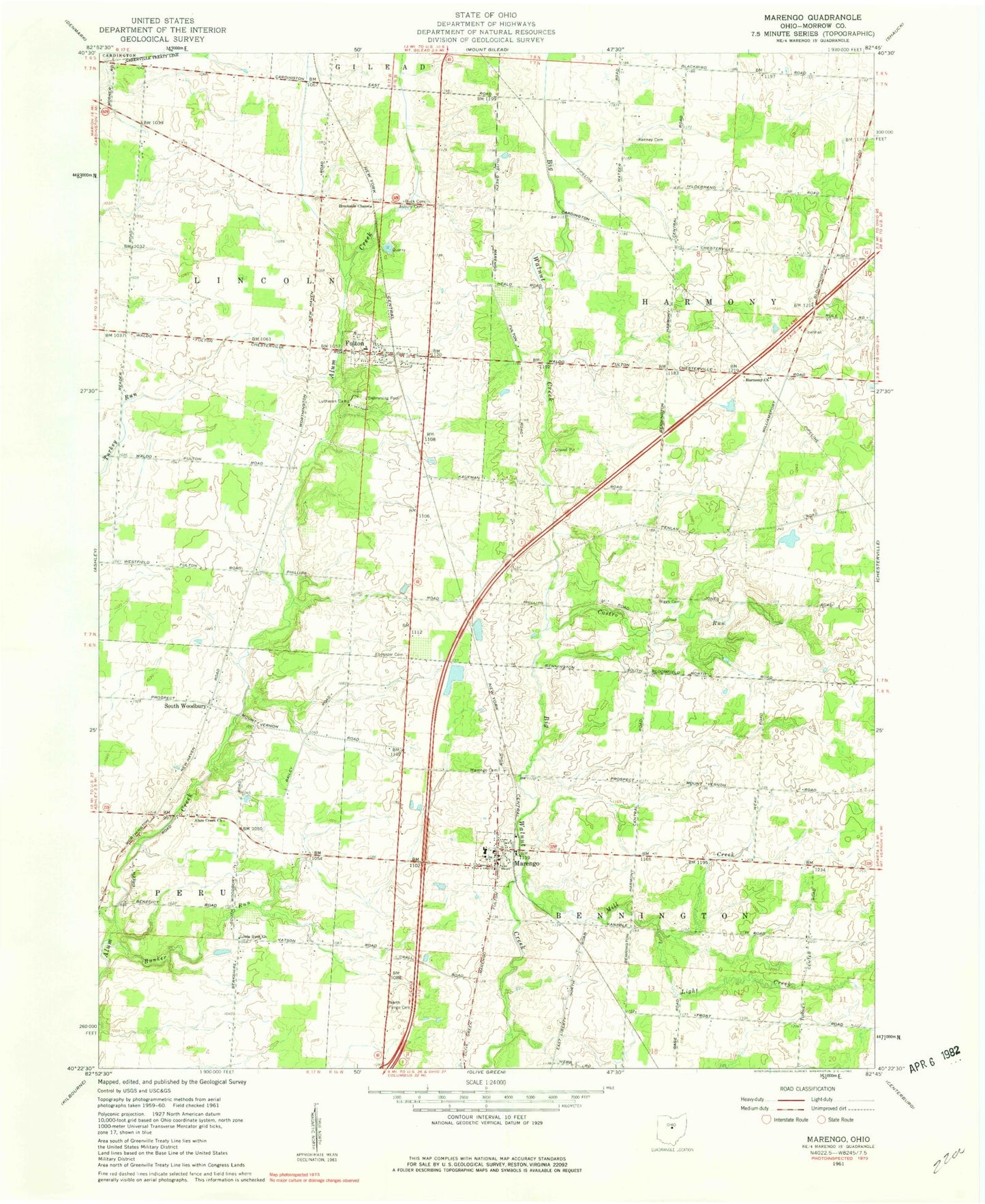
Classic USGS Marengo Ohio 7.5'x7.5' Topo Map
Couldn't load pickup availability
Historical USGS topographic quad map of Marengo in the state of Ohio. Map scale may vary for some years, but is generally around 1:24,000. Print size is approximately 24" x 27"
This quadrangle is in the following counties: Morrow.
The map contains contour lines, roads, rivers, towns, and lakes. Printed on high-quality waterproof paper with UV fade-resistant inks, and shipped rolled.
Contains the following named places: Alum Creek Cemetery, Alum Creek Church, Asbury Cemetery, Bennington Springs, Big Walnut Joint Fire District, Biggs Cemetery, Blackbird School, Blackhawk School, Brookside Chapel, Buck Cemetery, Bunker Run, Castro Run, Chestnut Grove School, Dudley School, Ebenezer Cemetery, Fulton, Fulton Cemetery, Fulton Church of the Nazarene, Fulton Post Office, Goose Heaven School, Harmony Church, Highland West Elementary School, Kenney Cemetery, Light Creek, Little Ruth Church, Marengo, Marengo Cemetery, Marengo Post Office, Marengo United Methodist Church, Mill Creek, Morrow County Emergency Medical Services, North Fargo Cemetery, Oaklawn School, Oliveroot School, Phillips School, Railroad School, South Woodbury, Stilers Corner School, Township of Bennington, Township of Harmony, Township of Lincoln, Turney Center School, Village of Fulton, Village of Marengo, Walnut Creek Farms, Watson School, West Salem School, Wildcat School, Woodbury Methodist Episcopal Cemetery, ZIP Codes: 43315, 43321, 43334