MyTopo
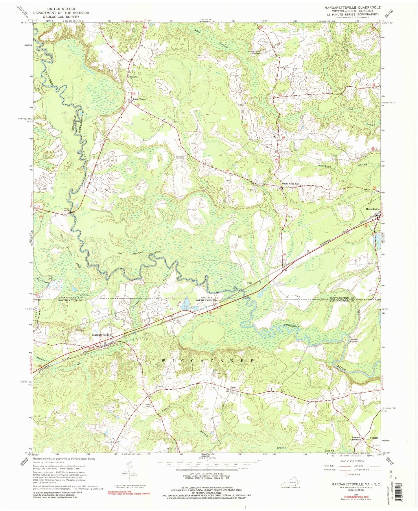
Classic USGS Margarettsville North Carolina 7.5'x7.5' Topo Map
Couldn't load pickup availability
Historical USGS topographic quad map of Margarettsville in the states of North Carolina, Virginia. Map scale may vary for some years, but is generally around 1:24,000. Print size is approximately 24" x 27"
This quadrangle is in the following counties: Greensville, Northampton, Southampton.
The map contains contour lines, roads, rivers, towns, and lakes. Printed on high-quality waterproof paper with UV fade-resistant inks, and shipped rolled.
Contains the following named places: Bishop Dam, Boykins and Branchville District, Branchs Bridge, Cypress Creek, Fountains Creek, Haleys Bridge, Hugo, Lewters Crossroad, Little Texas, Margarettsville, Margarettsville Post Office, Powell Creek, Rising Star Church, Rising Star School, School Number 9, Sharon Church, Southhampton Speedway, Town of Branchville, Vicks Millpond, White Head Hall, White School, ZIP Codes: 23828, 27853