MyTopo
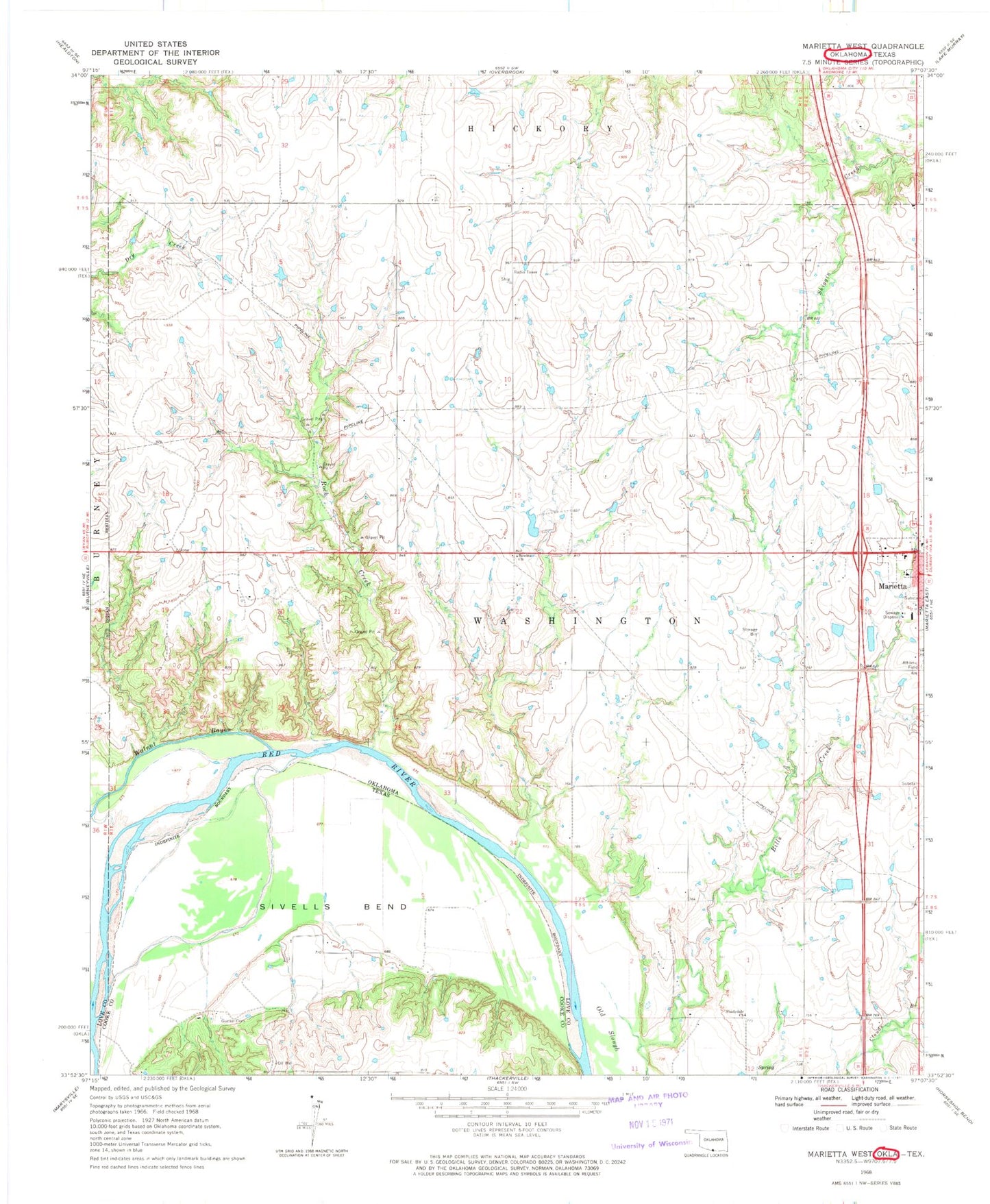
Classic USGS Marietta West Oklahoma 7.5'x7.5' Topo Map
Couldn't load pickup availability
Historical USGS topographic quad map of Marietta West in the states of Oklahoma, Texas. Map scale may vary for some years, but is generally around 1:24,000. Print size is approximately 24" x 27"
This quadrangle is in the following counties: Cooke, Love.
The map contains contour lines, roads, rivers, towns, and lakes. Printed on high-quality waterproof paper with UV fade-resistant inks, and shipped rolled.
Contains the following named places: Bowles Church, Gunter Cemetery, Love County, Love County Airport, Marietta High School, McGehee Catfish Restaurant Airport, Mercy Health / Love County Hospital, Rock Creek, Shady Dale Volunteer Fire Department, Shadydale Church, Sivells Bend, W.G. Anderson Memorial Airport, Walnut Bayou