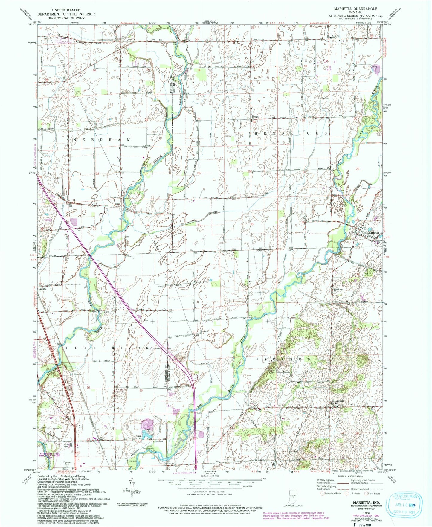
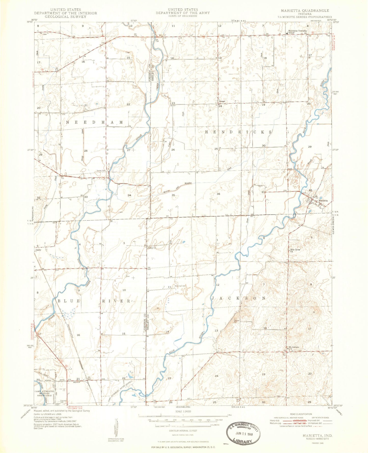
MyTopo
Classic USGS Marietta Indiana 7.5'x7.5' Topo Map
Couldn't load pickup availability
Historical USGS topographic quad map of Marietta in the state of Indiana. Map scale may vary for some years, but is generally around 1:24,000. Print size is approximately 24" x 27"
This quadrangle is in the following counties: Johnson, Shelby.
The map contains contour lines, roads, rivers, towns, and lakes. Printed on high-quality waterproof paper with UV fade-resistant inks, and shipped rolled.
Contains the following named places: Amity Ditch, Bengal, Blue River Church, Brockman Cemetery, Conover Cemetery, Fisher Ditch, Freeman Cemetery, Gibson Ditch, Jollity Church, Major Ditch, Marietta, Marietta Volunteer Fire Department, McCue Medsker Ditch, Mount Auburn, Plastics Park Airport, Shaw Ditch, Shipp Ditch, Skeeter Landing, Smiley Cemetery, Tile Creek, Township of Blue River, Township of Hendricks, Township of Jackson, Township of Needham