MyTopo
Classic USGS Marion Center Pennsylvania 7.5'x7.5' Topo Map
Couldn't load pickup availability
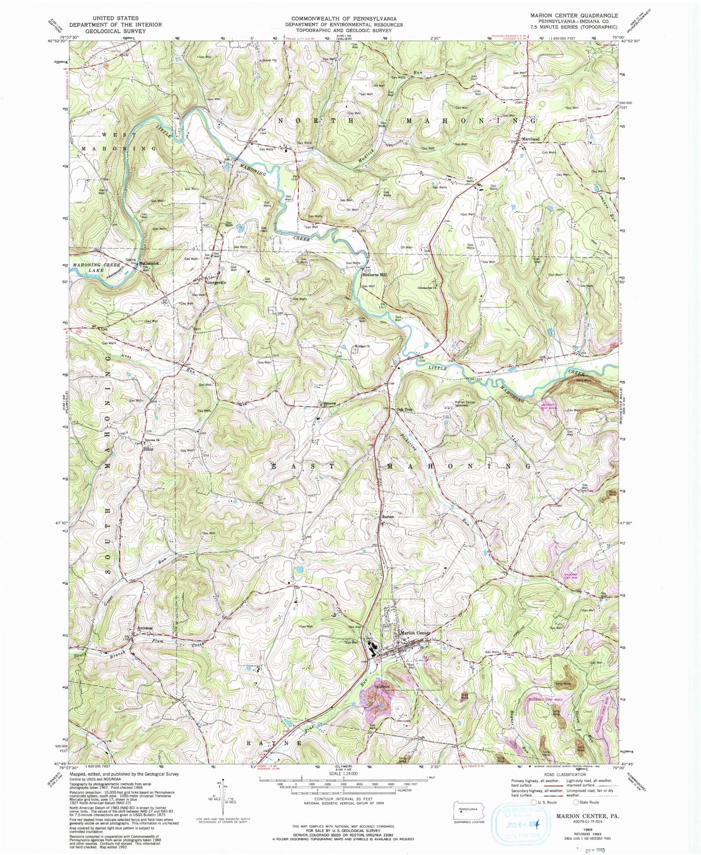
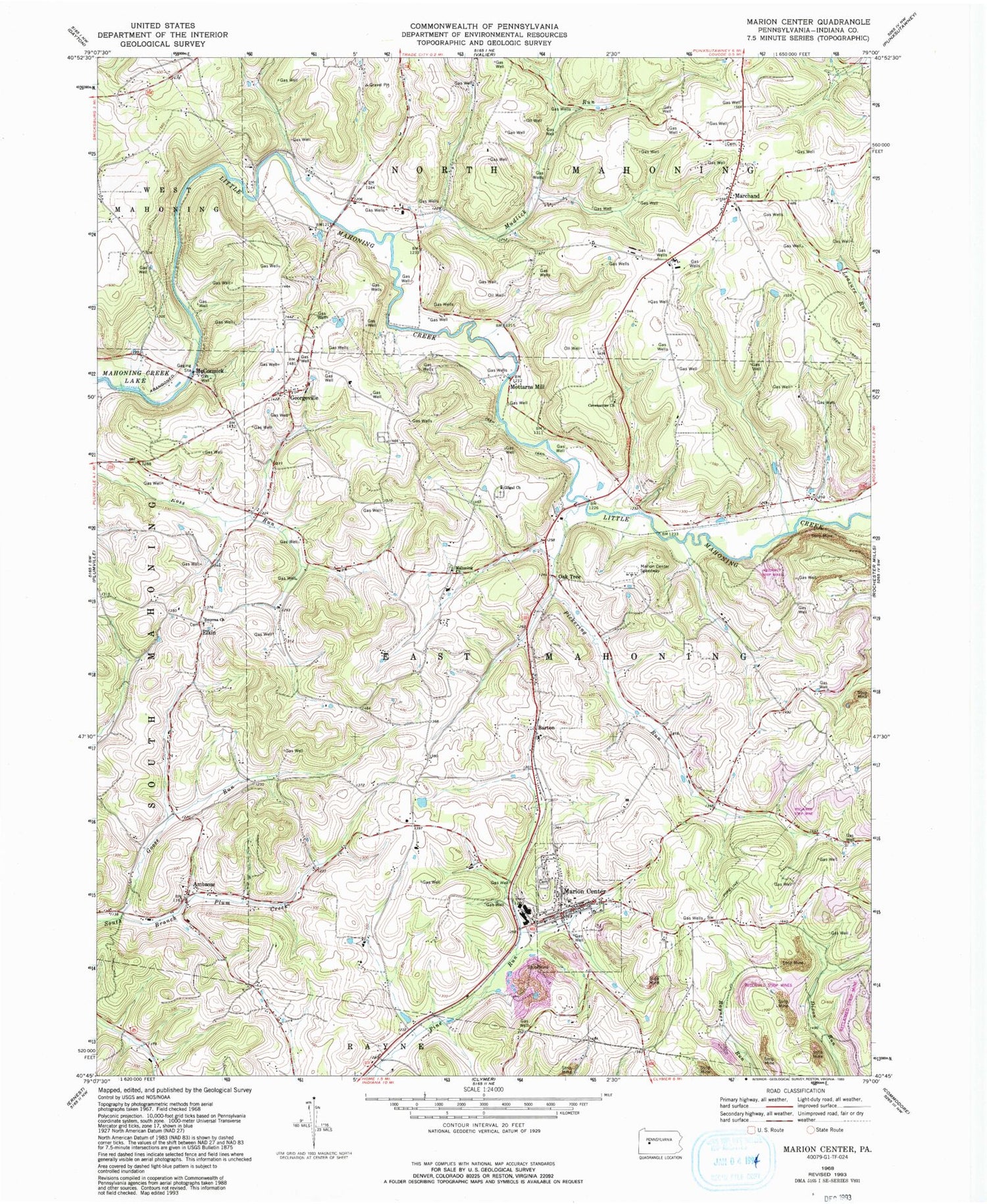
Historical USGS topographic quad map of Marion Center in the state of Pennsylvania. Map scale may vary for some years, but is generally around 1:24,000. Print size is approximately 24" x 27"
This quadrangle is in the following counties: Indiana.
The map contains contour lines, roads, rivers, towns, and lakes. Printed on high-quality waterproof paper with UV fade-resistant inks, and shipped rolled.
Contains the following named places: Ambrose, Ambrose School, Anthony Airport, Barton, Borough of Marion Center, Brandon School, Covenanter Church, Dilts School, Elkin, Frantz, Georgeville, Georgeville Cemetery, Gilgal Cemetery, Gilgal Church, Goose Run, Lowman School, Mahoning Church, Mahoning School, Mahoning United Presbyterian Cemetery, Marchand, Marchand Cemetery, Marion Center, Marion Center Area Elementary School, Marion Center Area High School, Marion Center Memorial Cemetery, Marion Center Post Office, Marion Center Speedway, Marion Center Speedway Airport, Marion Center Volunteer Fire Department Station 190, McCormick, Mottarns Mill, Mudlick Run, Oak Tree, Pickering Run, Smyrna Church, Stuchell School, Township of East Mahoning, Township of North Mahoning, Trade City Station, White Oak School, ZIP Code: 15759