MyTopo
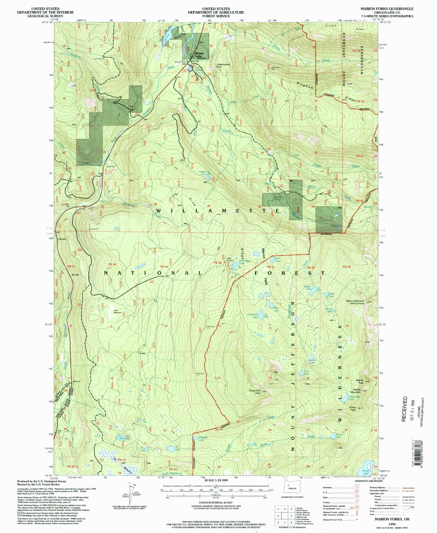
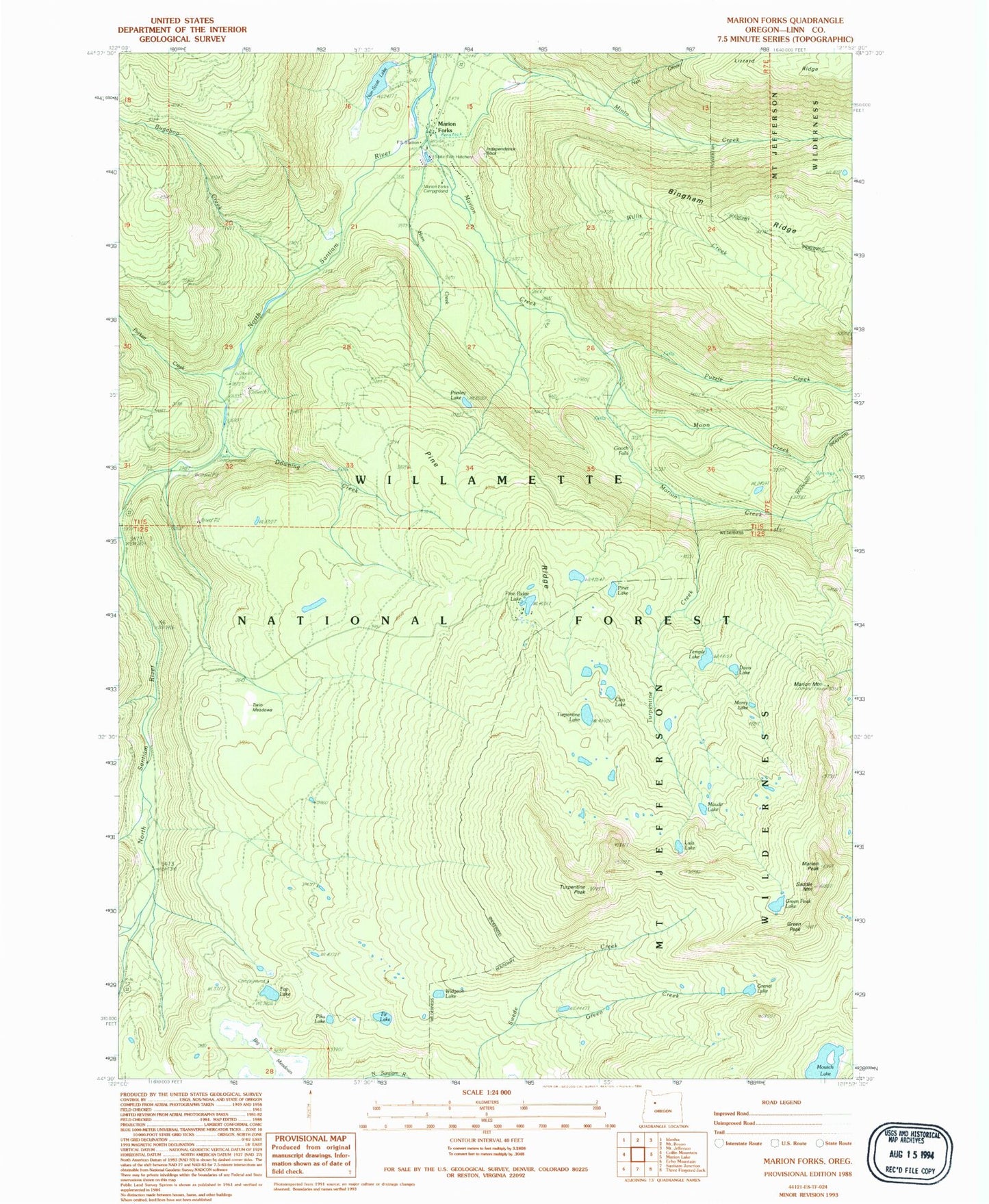
Classic USGS Marion Forks Oregon 7.5'x7.5' Topo Map
Couldn't load pickup availability
Historical USGS topographic quad map of Marion Forks in the state of Oregon. Typical map scale is 1:24,000, but may vary for certain years, if available. Print size: 24" x 27"
This quadrangle is in the following counties: Linn.
The map contains contour lines, roads, rivers, towns, and lakes. Printed on high-quality waterproof paper with UV fade-resistant inks, and shipped rolled.
Contains the following named places: Marion Forks Forest Service Station, Marion Forks Recreation Site, Big Meadows, Cleo Lake, Davis Lake, Downing Creek, Fay Lake, Fir Lake, Gooch Falls, Green Creek, Green Peak, Green Peak Lake, Grenet Lake, Horn Creek, Independence Rock, Lula Lake, Marion Falls, Marion Forks, Maude Lake, Monty Lake, Mowich Lake, Nan Creek, Nan-Scott Lake, Pika Lake, Pine Ridge, Pine Ridge Lake, Pinet Lake, Presley Lake, Saddle Mountain, Temple Lake, Turpentine Creek, Turpentine Lake, Turpentine Peak, Turpentine Peak Trail, Twin Meadows, Widgeon Lake, Willis Creek, O A Lake, Marion Flats, Bruno Creek, Bugaboo Creek, Camp Creek, Marion Creek, Marion Lake Trail, Moon Creek, Parkett Creek, Pine Ridge Trail, Puzzle Creek, Straight Creek, Gatch Falls, Camp Pioneer, Marion Mountain, Marion Peak


