MyTopo
Classic USGS Marion South Alabama 7.5'x7.5' Topo Map
Couldn't load pickup availability
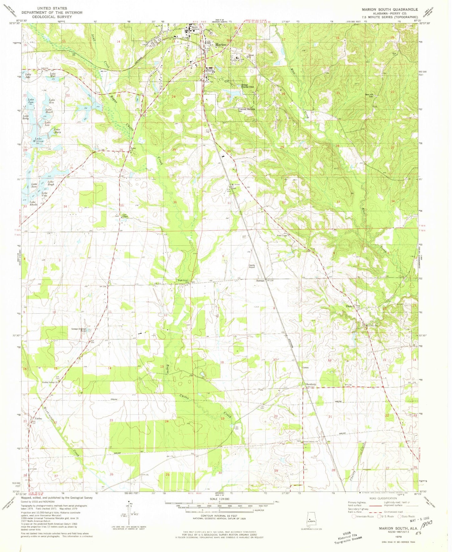
Historical USGS topographic quad map of Marion South in the state of Alabama. Map scale may vary for some years, but is generally around 1:24,000. Print size is approximately 24" x 27"
This quadrangle is in the following counties: Perry.
The map contains contour lines, roads, rivers, towns, and lakes. Printed on high-quality waterproof paper with UV fade-resistant inks, and shipped rolled.
Contains the following named places: Bethel Church, Brasfield Landing, C E Lee Dam, Church of God, Coles Chapel, Eagle Grove Church, Eagles Grove School, F W Pierce Lake Dam Number 1, F W Pierce Lake Number One, Faith Chapel, Floyd Cook Dam, Floyd Cook Lake, Friendship Cemetery, Friendship Church, Green Liberty Church, Green Liberty School, Hamburg, Hamburg Academy, Hamburg Division, Hamburg Volunteer Fire Department, Healing Springs Church, Lake Betty, Lake Eva, Lake Heart, Lake Hugh, Lake Ines, Lake Lou, Lake Mary, Lake Miriam, Lake Rhoda, Lake Sam, Lake Vida, Lake Will, Lakeland Farms, Lakeland Farms Dam Number Eighteen, Lakeland Farms Dam Number Eleven, Lakeland Farms Dam Number Fifteen, Lakeland Farms Dam Number Fourteen, Lakeland Farms Dam Number Nine, Lakeland Farms Dam Number One, Lakeland Farms Dam Number Sixteen, Lakeland Farms Dam Number Ten, Lakeland Farms Dam Number Thirteen, Lakeland Farms Dam Number Twelve, Lakeland Farms Pond Number Fifteen, Lakeland Farms Pond Number Fourteen, Lakeland Farms Pond Number Sixteen, Lees Lake, Marion Academy, Marion Country Club, Marion Institute, Mars Hill Baptist Church, Mars Hill Cemetery, Missionary Church, Morris Hill Church, Mount Ararat Church, Mount Ararat School, Norman, Perry County Airport, Perry School, Pinecrest Memorial Cemetery, Sand Creek, Vaiden, Vilula, Vilula School, W A Hughes Lake, W A Hughes Lake Dam