MyTopo
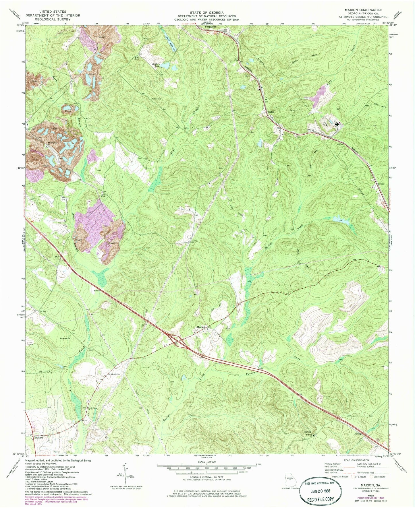
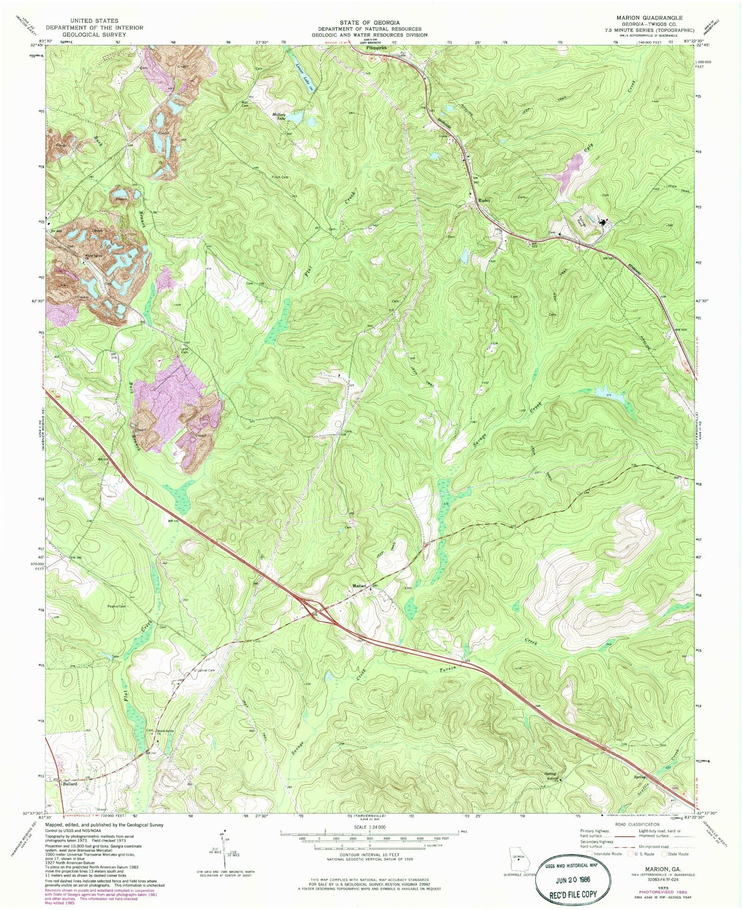
Classic USGS Marion Georgia 7.5'x7.5' Topo Map
Couldn't load pickup availability
Historical USGS topographic quad map of Marion in the state of Georgia. Map scale may vary for some years, but is generally around 1:24,000. Print size is approximately 24" x 27"
This quadrangle is in the following counties: Twiggs.
The map contains contour lines, roads, rivers, towns, and lakes. Printed on high-quality waterproof paper with UV fade-resistant inks, and shipped rolled.
Contains the following named places: Beckham Cemetery, Beech Spring Academy, Beech Spring Cemetery, Beech Spring Church, Buck Branch, Bullard, Bullard School, Finch Cemetery, Fitzpatrick, Glover Cemetery, Jones - Denson Cemetery, Land Cemetery, Lanier Lake, Lanier Lake Dam, Linda Melton Late Cemetery, Mallory Lake, Mallory Lake Dam, Marion, Marion Cemetery, Marion School, Mount Zion Church, Mount Zion School, New Mount Zion Church, North Twiggs Division, O'Daniel Cemetery, Old Marion Church, Pearce Cemetery, Richland Cemetery, Richland Church, Richland School, Ripley, Rosebud Church, Shiloh Church, State of Georgia, Stone Lake, Stone Lake Dam, Turvin Creek, Twiggs County, Wall Cemetery, White Spring Church, White Springs School, WWST-FM (Jeffersonville), ZIP Codes: 31020, 31044


