
MyTopo
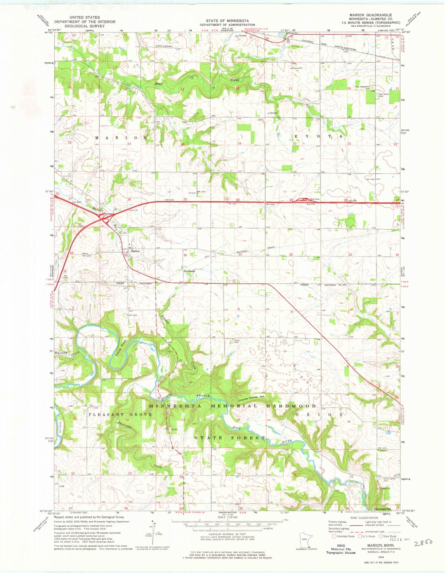
Classic USGS Marion Minnesota 7.5'x7.5' Topo Map
Couldn't load pickup availability
Historical USGS topographic quad map of Marion in the state of Minnesota. Map scale may vary for some years, but is generally around 1:24,000. Print size is approximately 24" x 27"
This quadrangle is in the following counties: Olmsted.
The map contains contour lines, roads, rivers, towns, and lakes. Printed on high-quality waterproof paper with UV fade-resistant inks, and shipped rolled.
Contains the following named places: Ben Baer Farm Cemetery, Borst Family Farms, Chance Hollow Hill, Coffin's Cemetery, Evangeline Lutheran Church, Holy Redeemer Cemetery, Kinney Creek, Marion, Marion Cemetery, Marion Census Designated Place, Marion Church of Christ, Marion Post Office, Marion West Bound Rest Area, Med-City Aviation, Medical Pioneers of Minnesota Historical Marker, Oak Grove Cemetery, Orion Center Cemetery, Partridge Creek, Predmore, Predmore Post Office, Table Rock, Township of Eyota, Township of Marion, Township of Orion, Walter McConnell Farm Cemetery, Whitney Creek


