MyTopo
Classic USGS Mariposa California 7.5'x7.5' Topo Map
Couldn't load pickup availability
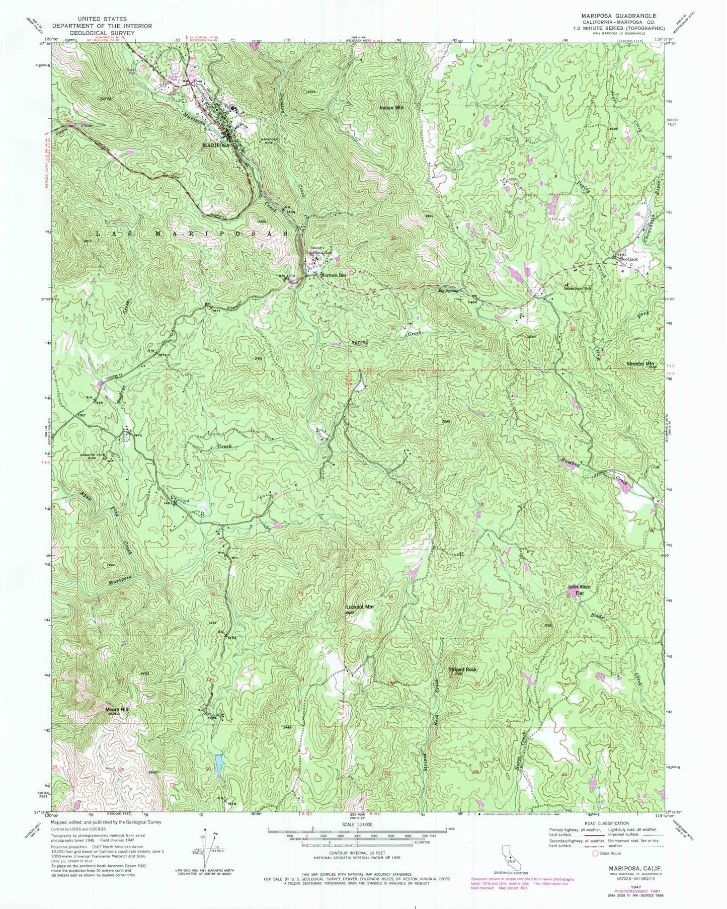
Historical USGS topographic quad map of Mariposa in the state of California. Map scale may vary for some years, but is generally around 1:24,000. Print size is approximately 24" x 27"
This quadrangle is in the following counties: Mariposa.
The map contains contour lines, roads, rivers, towns, and lakes. Printed on high-quality waterproof paper with UV fade-resistant inks, and shipped rolled.
Contains the following named places: Agua Fria Creek, Australia Gulch, Big Spring, Bootjack, Bootjack Census Designated Place, Buckeye Creek, California Highway Patrol Central Division - Mariposa, California State Mining and Mineral Museum, Church of Christ, Crows Nest, East Fork Buckeye Creek, First Baptist Church, Granite King Mine, Humbug Creek, Indian Mountain, John Allen Flat, Lookout Mountain, Mariposa, Mariposa Assembly of God Church, Mariposa Census Designated Place, Mariposa County Courthouse, Mariposa County Fairgrounds, Mariposa County Fire Department Company 22 Mariposa Public Utility District Fire Station 1, Mariposa County Fire Department Company 27 Morman Bar, Mariposa County Fire Department Company 37 Bootjack, Mariposa County High School, Mariposa County Law Library, Mariposa County Sheriff's Office, Mariposa District Cemetery, Mariposa Division, Mariposa Elementary School, Mariposa Foursquare Church, Mariposa IOOF Cemetery, Mariposa Junior High School, Mariposa Masonic Cemetery, Mariposa Mine, Mariposa Museum and History Center, Mariposa Park, Mariposa Post Office, Mariposa Public Utility District Fire Department Station 2 Headquarters, Mariposa Town Historic District, Mariposa United Methodist Church, McBrights Gulch, Mercy Medical Transportation, Moore Hill, Mormon Bar, Owl Creek, Pegleg Creek, Saint Joseph Cemetery, Saint Josephs Catholic Church, Sebastopol School, Seventh Day Adventist Church, Spring Creek, Spring Hill High School, Stockton Creek, Stockton Creek 672 Dam, Stockton Ridge, Streeter Mountain, Striped Rock, Yosemite Fire and Rescue


