
MyTopo
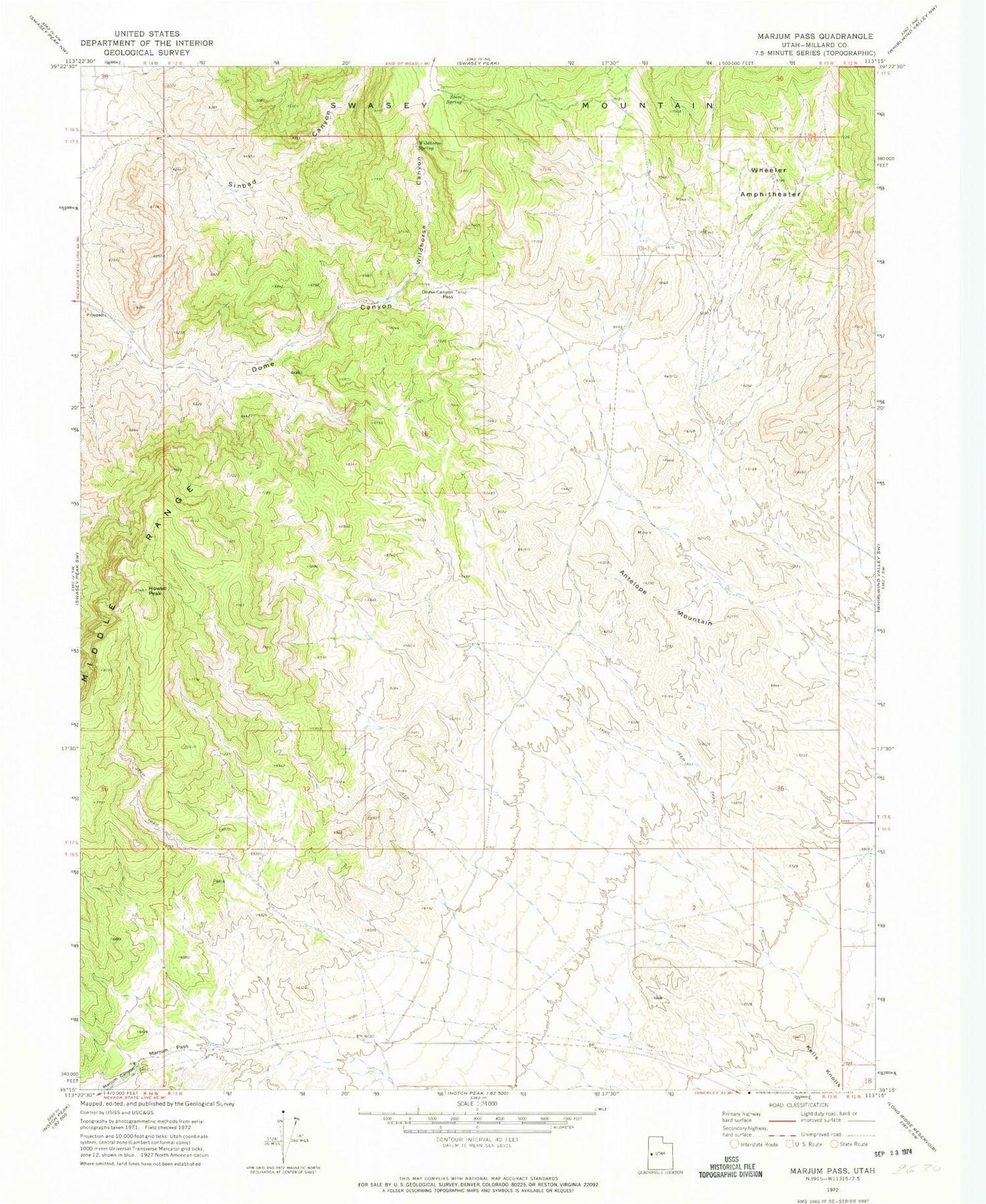
Classic USGS Marjum Pass Utah 7.5'x7.5' Topo Map
Regular price
$16.95
Regular price
Sale price
$16.95
Unit price
per
Couldn't load pickup availability
Historical USGS topographic quad map of Marjum Pass in the state of Utah. Map scale may vary for some years, but is generally around 1:24,000. Print size is approximately 24" x 27"
This quadrangle is in the following counties: Millard.
The map contains contour lines, roads, rivers, towns, and lakes. Printed on high-quality waterproof paper with UV fade-resistant inks, and shipped rolled.
Contains the following named places: Antelope Mountain, CCC Camp Site, Dome Canyon Pass, Howell Peak, Kells Knolls, Marjum Pass, Sinbad Canyon, Stove Spring, Trilobite Beds, Wheeler Amphitheater, Wildhorse Canyon, Wildhorse Spring


