
MyTopo
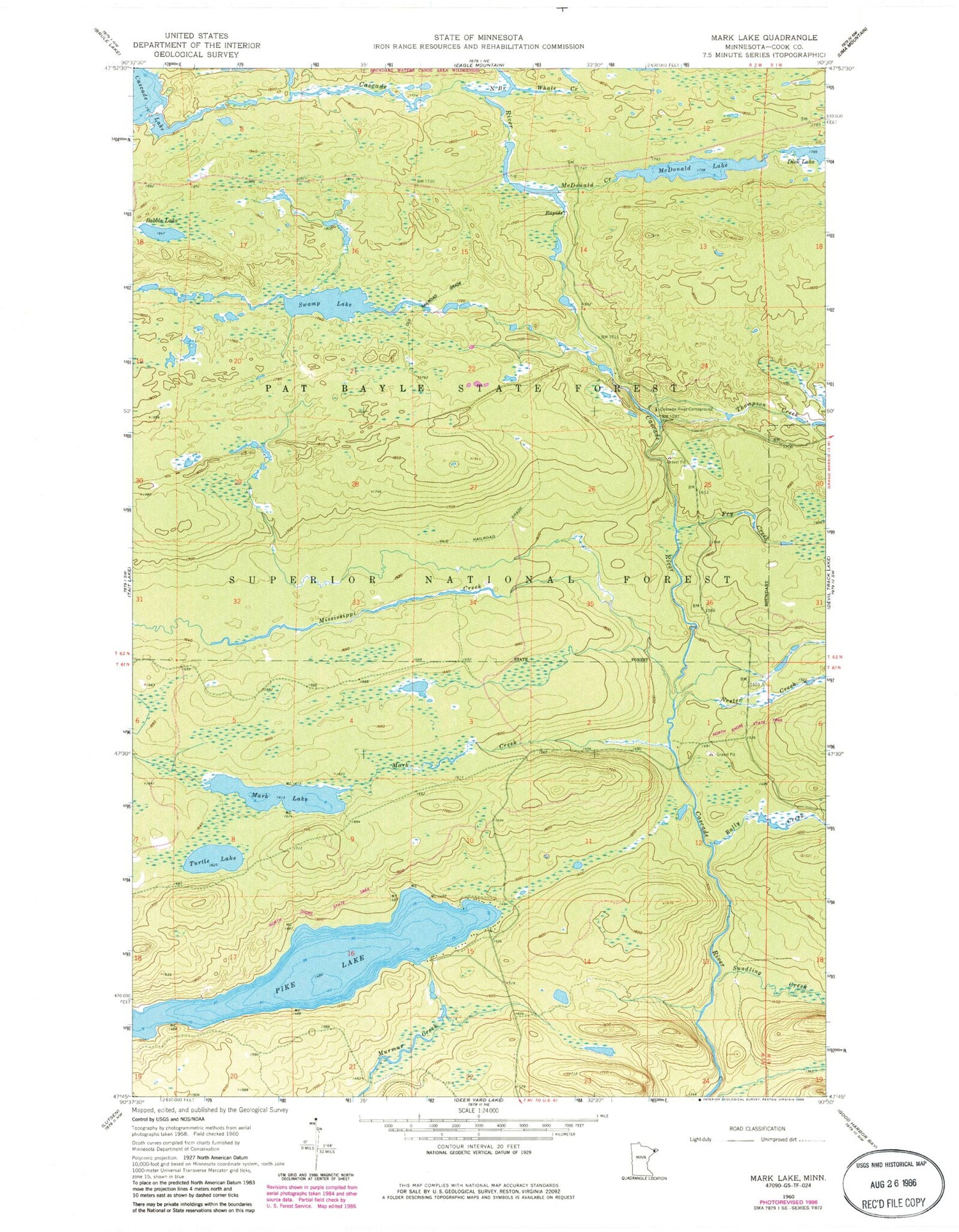
Classic USGS Mark Lake Minnesota 7.5'x7.5' Topo Map
Couldn't load pickup availability
Historical USGS topographic quad map of Mark Lake in the state of Minnesota. Map scale may vary for some years, but is generally around 1:24,000. Print size is approximately 24" x 27"
This quadrangle is in the following counties: Cook.
The map contains contour lines, roads, rivers, towns, and lakes. Printed on high-quality waterproof paper with UV fade-resistant inks, and shipped rolled.
Contains the following named places: Babble Lake, Bally Creek, Cascade River Campground, Eagle Mountain Trail Parking, Fry Creek, Mark Creek, Mark Lake, McDonald Creek, McDonald Lake, Mississippi Creek, Nester Creek, North Branch Cascade River, North Shore State Trail, Pat Bayle State Forest, Pike Lake, Sundling Creek, Swamp Lake, Thompson Creek, Turtle Lake, Whale Creek


