MyTopo
Classic USGS Markham Creek Arizona 7.5'x7.5' Topo Map
Couldn't load pickup availability
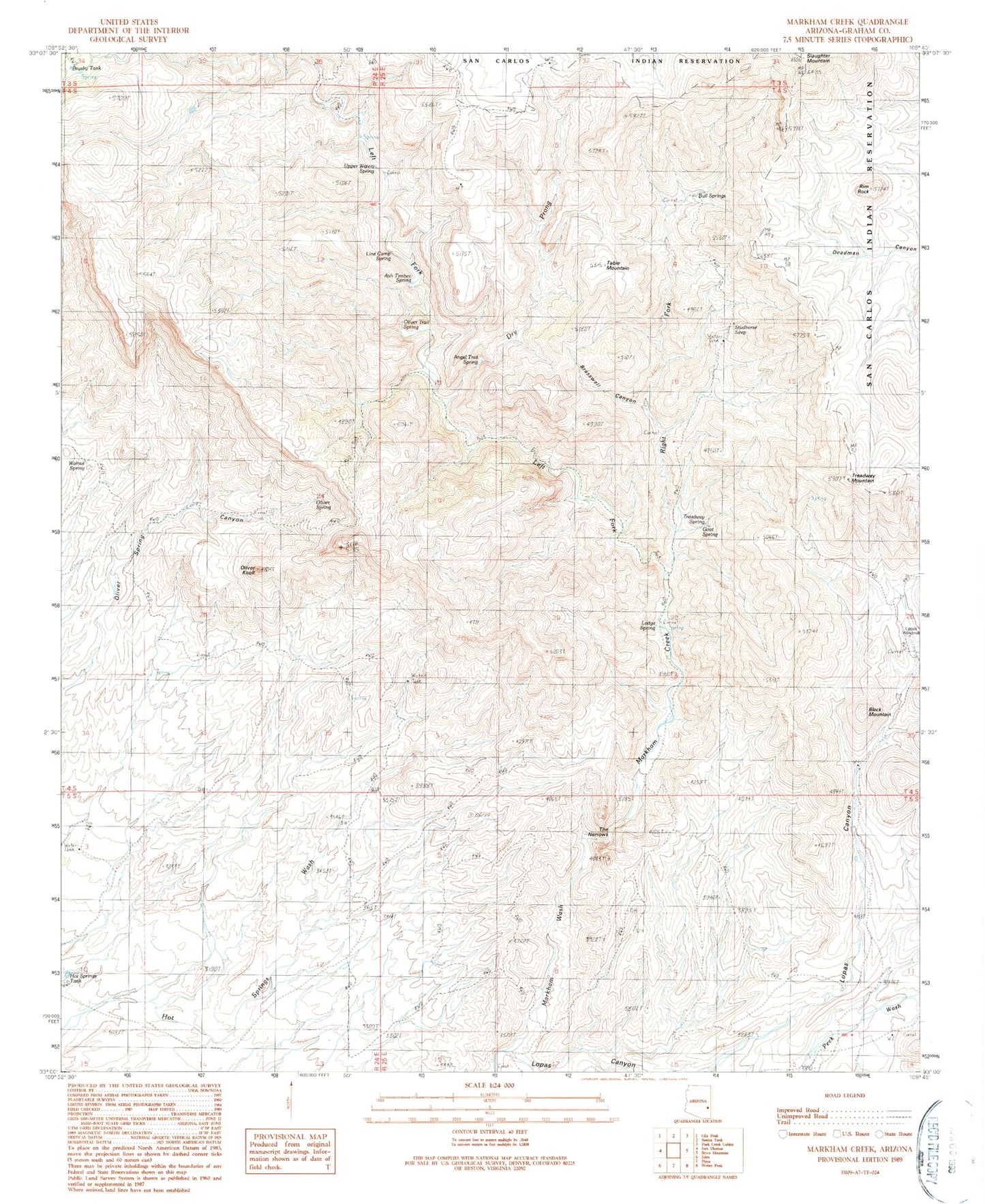
Historical USGS topographic quad map of Markham Creek in the state of Arizona. Map scale may vary for some years, but is generally around 1:24,000. Print size is approximately 24" x 27"
This quadrangle is in the following counties: Graham.
The map contains contour lines, roads, rivers, towns, and lakes. Printed on high-quality waterproof paper with UV fade-resistant inks, and shipped rolled.
Contains the following named places: Angel Trail Spring, Ash Timber Spring, Big Spring Wash, Black Mountain, Brasswell Canyon, Brushy Tank, Bull Springs, Dry Prong, Gila Mountains, Goat Spring, Hot Springs Tank, Ledge Spring, Left Fork Markham Creek, Left Hand Spring, Line Camp Spring, Lopas Canyon, Lopez Windmill, Markham Creek, Oliver Knoll, Oliver Spring, Oliver Trail Spring, Right Fork Markham Creek, Rim Rock, Slaughter Mountain, Studhorse Seep, Table Mountain, The Narrows, Treadway Mountain, Treadway Spring, Upper Waters Spring, Walnut Spring