MyTopo
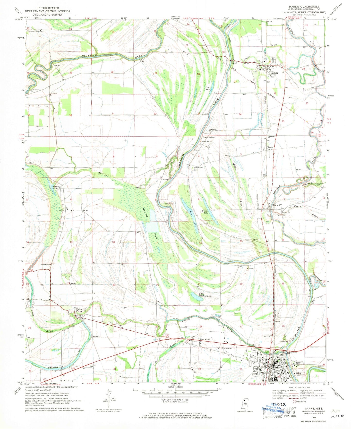
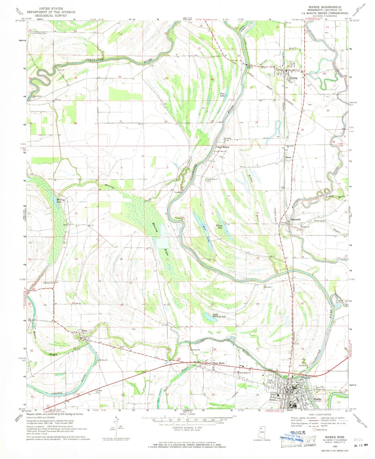
Classic USGS Marks Mississippi 7.5'x7.5' Topo Map
Couldn't load pickup availability
Historical USGS topographic quad map of Marks in the state of Mississippi. Map scale may vary for some years, but is generally around 1:24,000. Print size is approximately 24" x 27"
This quadrangle is in the following counties: Quitman.
The map contains contour lines, roads, rivers, towns, and lakes. Printed on high-quality waterproof paper with UV fade-resistant inks, and shipped rolled.
Contains the following named places: Arkadelphia School, Bear Lake, Belen, Belen Baptist Church, Belen Cemetery, Belmont Church, Belview Church, Burgess, Burrell Bayou, Butler Chapel, City of Marks, Clear Lake, Darling, Darling Census Designated Place, Darling Post Office, Eagle Grove Church, Essex, First Baptist Church of Marks, Fourmile Bayou, Friendship Church, Gleason Grove Cemetery, Green River, Griffin School, Hills Precinct, Hinchcliff, Little Whiting Lake, Macedonia Church, Marks, Marks Church of Christ, Marks Fire Department Station 1 Headquarters, Marks Fire Department Station 2, Marks Post Office, Marks Presbyterian Church, Marks United Methodist Church, Moore Bayou, Mount Olive Church, Mount Zion Church, Mount Zion School, New Light Church, New Salem Church, Posey Mound, Posey Mound Cemetery, Quitman County, Quitman County Farm, Quitman County High School, Quitman County Sheriff's Office, Silent Grove Baptist Church, Supervisor District 2, Tabernacle Church, Valley Queen Missionary Baptist Church, Wallace Chapel, West Marks, West Marks Church, Westside School, Whiting Brake, Whiting Chapel, Whiting Chute, Whiting Lake, Whiting School, Wilson Bayou, Wilson Lake, WQMA-AM (Marks), ZIP Codes: 38623, 38646


