MyTopo
Classic USGS Marlboro Canyon SE Texas 7.5'x7.5' Topo Map
Regular price
$16.95
Regular price
Sale price
$16.95
Unit price
per
Couldn't load pickup availability
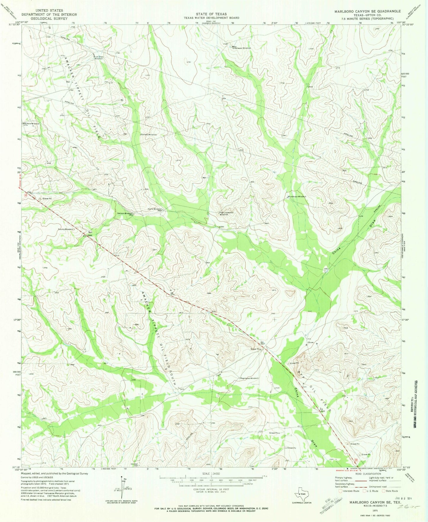
Historical USGS topographic quad map of Marlboro Canyon SE in the state of Texas. Map scale may vary for some years, but is generally around 1:24,000. Print size is approximately 24" x 27"
This quadrangle is in the following counties: Upton.
The map contains contour lines, roads, rivers, towns, and lakes. Printed on high-quality waterproof paper with UV fade-resistant inks, and shipped rolled.
Contains the following named places: Amacker Tippett Oil Field, BFP Oil Field, Buck Trap Windmill, County Windmill, Earnest Windmill, Harris Windmill, High Lonesome Windmill, Murchison Windmill, Registered Windmill, Salmon Windmill, Upton County, West Underwood Windmill