MyTopo
Classic USGS Marlborough Michigan 7.5'x7.5' Topo Map
Couldn't load pickup availability
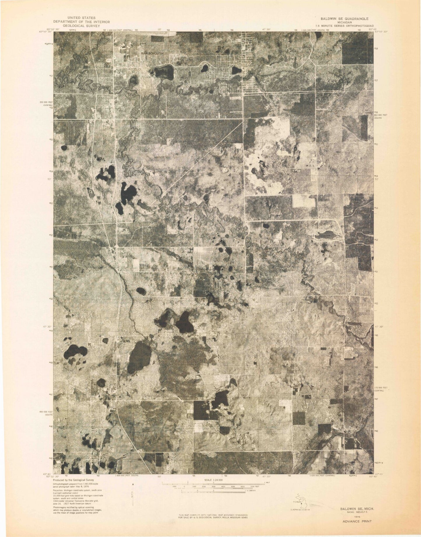
Historical USGS topographic quad map of Marlborough in the state of Michigan. Map scale may vary for some years, but is generally around 1:24,000. Print size is approximately 24" x 27"
This quadrangle is in the following counties: Lake, Newaygo.
The map contains contour lines, roads, rivers, towns, and lakes. Printed on high-quality waterproof paper with UV fade-resistant inks, and shipped rolled.
Contains the following named places: Alderson Post Office, Alderson Station, Baldwin Assembly of God Church, Blood Creek, Brown Trout Historical Marker, Conna-Mara Lake, Curtice Cemetery, Forks Public Access, Grace Lutheran Church, Houseman Lake, Jackson Corners, Jewell Post Office, Jewell Station, Lilley, Lilley Cemetery, Lilley Lake, Lilley Post Office, Lilley Station, Little Bullhead Lake, Little Lake Number One, Little Lake Number Three, Little Lake Number Two, Little South Branch Pere Marquette River, Marlboro Post Office, Marlborough, Marlborough Station, Middle Branch Pere Marquette River, Mowby Lake, North Lake, North Pond, Oaklawn Cemetery, Pease Creek, Pettibone Lake, Pettibone Lake Park, Pettibone Park Campground, Pickerel Lake, Pickerel Lakeside Campground and Cottages, Railroad Lake, Rattlesnake Lake, Riverside School, Sanborn Creek, Schultz Lake, Shrine of the Pines, Sisson Lake, South Lake, Spring Lake, Spruce Lake, Stevens Lake, Switzer Lake, Township of Lilley, Township of Pleasant Plains, Watermill Lake, Whispering Oaks Campground and Cabins, Woods Lake, ZIP Code: 49642