
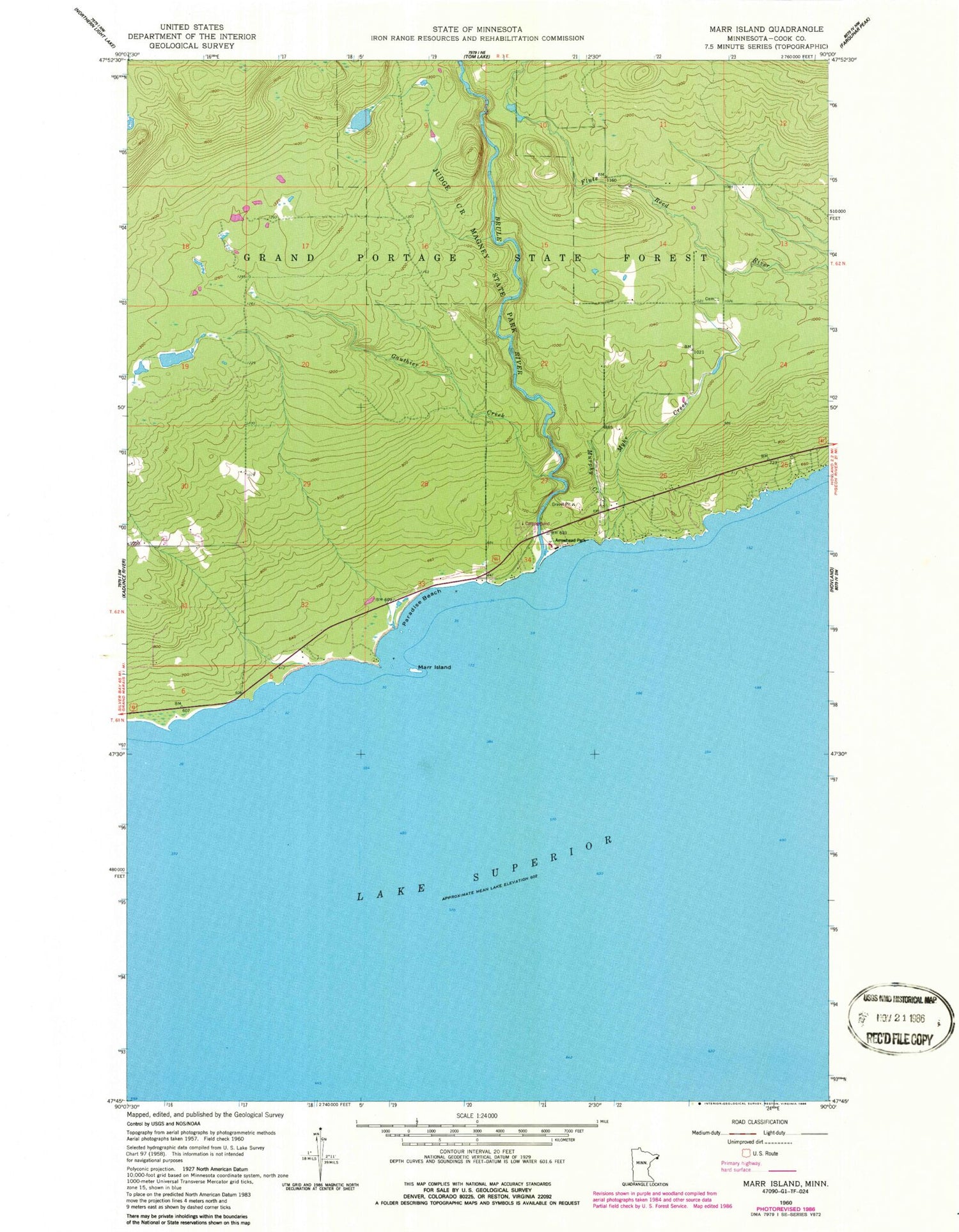
MyTopo
Classic USGS Marr Island Minnesota 7.5'x7.5' Topo Map
Regular price
$16.95
Regular price
Sale price
$16.95
Unit price
per
Couldn't load pickup availability
Historical USGS topographic quad map of Marr Island in the state of Minnesota. Map scale may vary for some years, but is generally around 1:24,000. Print size is approximately 24" x 27"
This quadrangle is in the following counties: Cook.
The map contains contour lines, roads, rivers, towns, and lakes. Printed on high-quality waterproof paper with UV fade-resistant inks, and shipped rolled.
Contains the following named places: Arrowhead Park, Brule River, Gauthier Creek, Judge C R Magney State Park, Judge C R Magney State Park Historical Marker, Marr Island, Murphy Creek, Myhr Creek, Paradise Beach, Trinity Lutheran Cemetery


