MyTopo
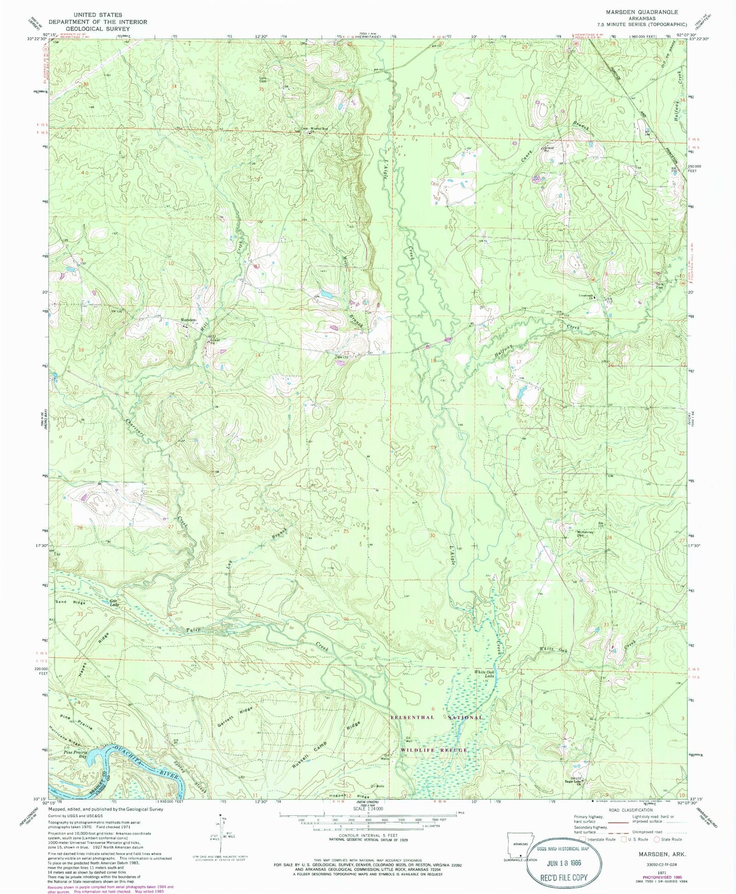
Classic USGS Marsden Arkansas 7.5'x7.5' Topo Map
Couldn't load pickup availability
Historical USGS topographic quad map of Marsden in the state of Arkansas. Map scale may vary for some years, but is generally around 1:24,000. Print size is approximately 24" x 27"
This quadrangle is in the following counties: Bradley, Union.
The map contains contour lines, roads, rivers, towns, and lakes. Printed on high-quality waterproof paper with UV fade-resistant inks, and shipped rolled.
Contains the following named places: Caney Branch, Charivari Creek, Crossroads Baptist Church, Eagle Lake Church, Gar Lake, Garrett Ridge, Halfway Creek, Hayes Ridge, Lay Branch, Lyns Cemetery, Magnolia Hospital Heliport, Marsden, Marsden Baptist Church, Marsden Cemetery, Marsden Methodist Church, McKenney Cemetery, Mill Branch, Mill Creek, Pine Prairie, Pine Prairie Bay, Russell Camp Ridge, Sand Ridge, Spring Slough, Sturgis, Thomas School, Township of Eagle, Tulip Lake, Wearied Rest Church, Weary Rest Cemetery, White Oak Creek, White Oak Lake, York Cemetery