MyTopo
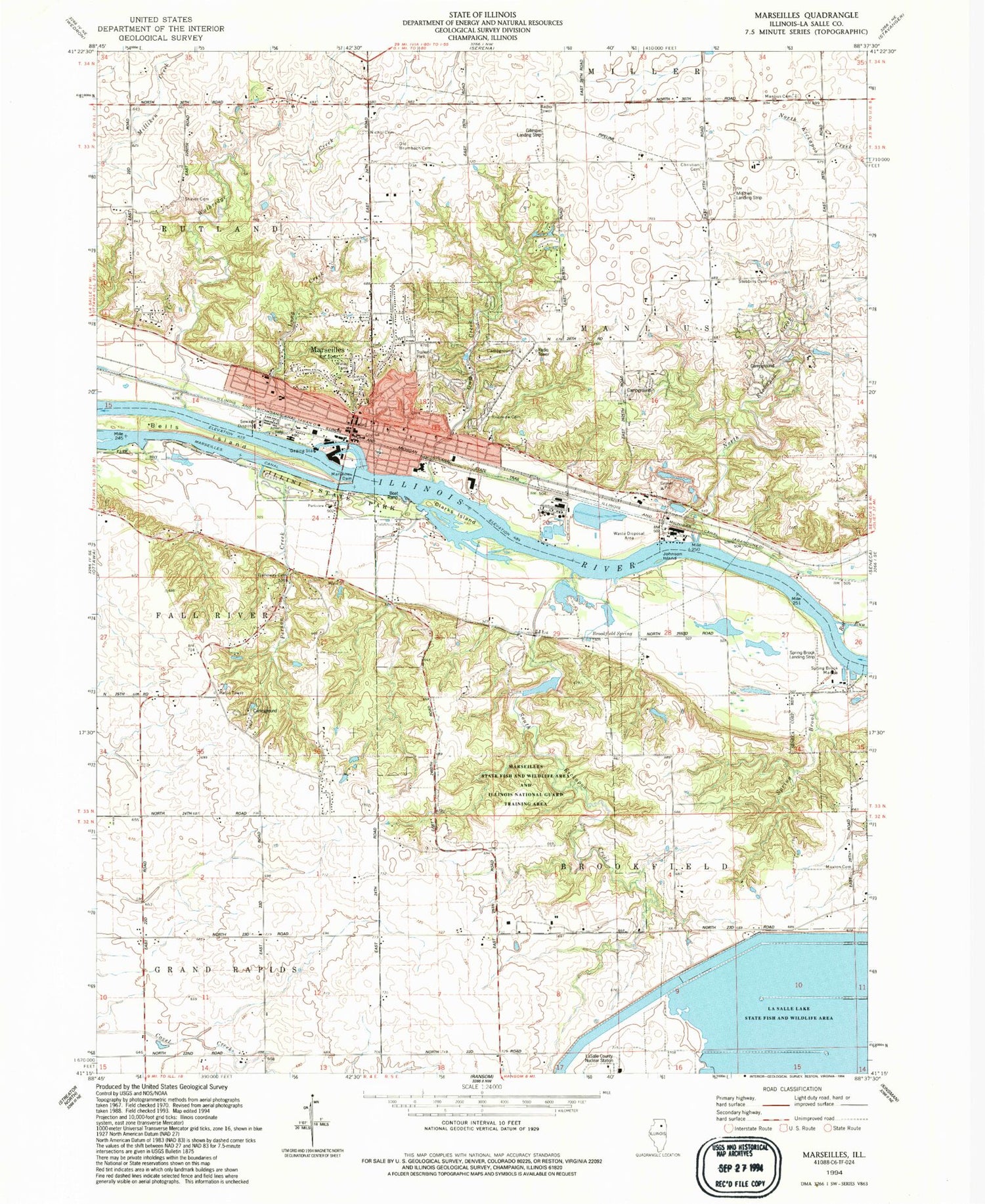
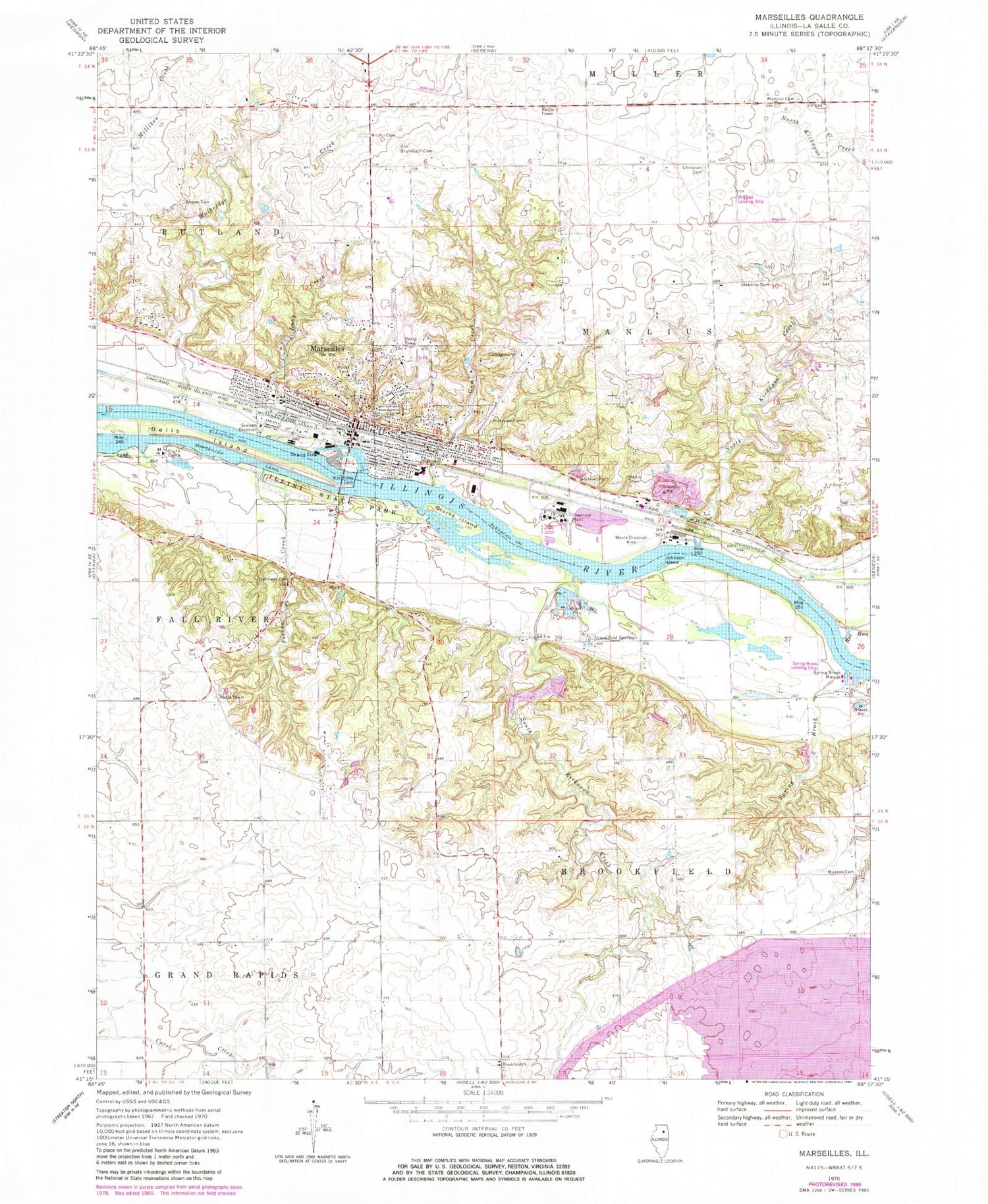
Classic USGS Marseilles Illinois 7.5'x7.5' Topo Map
Couldn't load pickup availability
Historical USGS topographic quad map of Marseilles in the state of Illinois. Map scale may vary for some years, but is generally around 1:24,000. Print size is approximately 24" x 27"
This quadrangle is in the following counties: LaSalle.
The map contains contour lines, roads, rivers, towns, and lakes. Printed on high-quality waterproof paper with UV fade-resistant inks, and shipped rolled.
Contains the following named places: Ancient Oaks Day Use Area, Bells Island, Brookfield Church, Brookfield Spring, Butterfield School, Church of the Nazarene, City of Marseilles, Clarks Island, David Gillespie Airport, First Baptist Church, First Church of God, First Congregational Church, Gage School, Galloway Cemetery, Galloway School, Great Falls of the Illinois River, Gum Creek, Hickory Point School, Illini State Park, Immanuel Lutheran Church, Johnson Island, LaSalle County Nuclear Station Cooling Dam, LaSalle County Nuclear Station Cooling Pond, LaSalle Lake State Fish and Wildlife Area, Lincoln School, Long Creek, Loring School, Mallard Bay, Manlius Methodist Cemetery, Marsatawa Country Club, Marseilles, Marseilles Area Ambulance Service, Marseilles Canal, Marseilles City Police Department, Marseilles Dam, Marseilles Elementary School, Marseilles Fire Protection District, Marseilles Pool, Marseilles Post Office, Marseilles State Fish and Wildlife Area, Maxton and Woodside Cemetery, McIntyre School, McKinley School, Mitchell RLA Airport, Nichol Cemetery, North Kickapoo Creek, Old Brumbach Cemetery, Old Christian Cemetery, Parkview Baptist Church, Peddicord School, Person Creek, Prospect School, Rat Run, Riverview Cemetery, Saint Josephs Catholic Church, School Number 7, Shaver Cemetery, South Kickapoo Creek, Spring Brook, Spring Brook Airport, Spring Brook Marina, Stebbins Cemetery, Township of Brookfield, Township of Manlius, Trinity Lutheran Church, Vincent School, Walbridge Creek, Washington School, Wildcat Bog, ZIP Code: 61341


