MyTopo
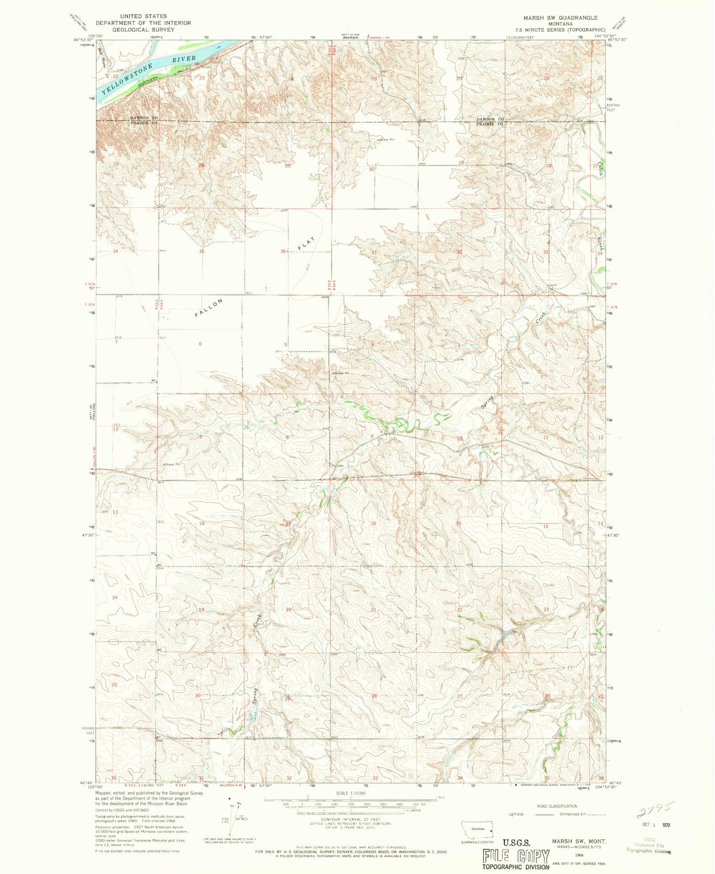
Classic USGS Marsh SW Montana 7.5'x7.5' Topo Map
Regular price
$16.95
Regular price
Sale price
$16.95
Unit price
per
Couldn't load pickup availability
Historical USGS topographic quad map of Marsh SW in the state of Montana. Map scale may vary for some years, but is generally around 1:24,000. Print size is approximately 24" x 27"
This quadrangle is in the following counties: Dawson, Prairie.
The map contains contour lines, roads, rivers, towns, and lakes. Printed on high-quality waterproof paper with UV fade-resistant inks, and shipped rolled.
Contains the following named places: 12N54E02AA__01 Well, 12N54E10DADB01 Well, 12N54E17ACAD01 Well, 13N53E22AAB_01 Well, 13N53E22ABC_01 Well, 13N53E22BAC_02 Well, Ash Creek, Bad Route Creek, Buechler School, Conlin, Conlin Post Office, DeWald School, Garvin School, Jones School