MyTopo
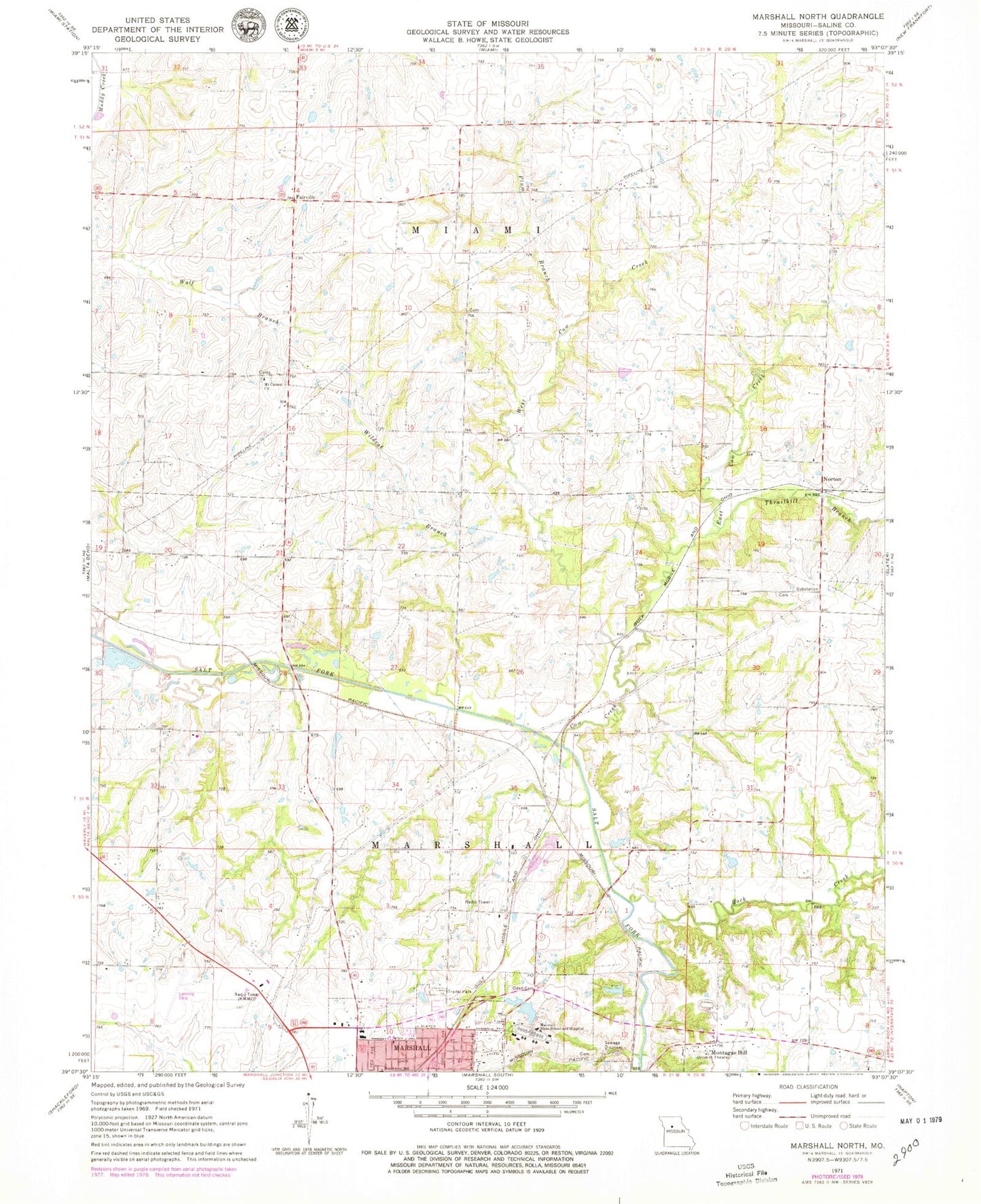
Classic USGS Marshall North Missouri 7.5'x7.5' Topo Map
Couldn't load pickup availability
Historical USGS topographic quad map of Marshall North in the state of Missouri. Map scale may vary for some years, but is generally around 1:24,000. Print size is approximately 24" x 27"
This quadrangle is in the following counties: Saline.
The map contains contour lines, roads, rivers, towns, and lakes. Printed on high-quality waterproof paper with UV fade-resistant inks, and shipped rolled.
Contains the following named places: Bryan Lake, Bryan Lake Dam, Chappell School, Cow Creek, East Cow Creek, Fairville, Herring School, Jester School, KMMO-AM (Marshall), KMMO-FM (Marshall), Maple Grove School, Marsh Lake, Marsh Lake Dam, Marshall Habilitation Center, Marshall Habilitation Center Lake, Marshall State School Lake Dam, Montague Hill, Mount Carmel Church, Norton, Odell Cemetery, Plum Branch, Prairie Home School, Robert Leigh School, Rock Creek, Saline County, Sandy Hill School, State School Dam B, Sulphur Springs School, Sunny Side School, Thrailkill Branch, Wallys Lake, Wallys Lake Dam, West Cow Creek, Wildcat Branch