MyTopo
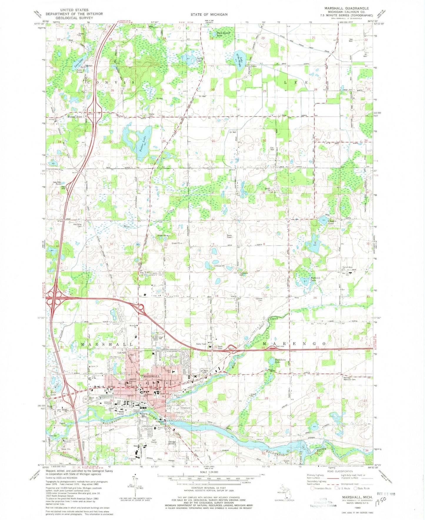
Classic USGS Marshall Michigan 7.5'x7.5' Topo Map
Couldn't load pickup availability
Historical USGS topographic quad map of Marshall in the state of Michigan. Map scale may vary for some years, but is generally around 1:24,000. Print size is approximately 24" x 27"
This quadrangle is in the following counties: Calhoun.
The map contains contour lines, roads, rivers, towns, and lakes. Printed on high-quality waterproof paper with UV fade-resistant inks, and shipped rolled.
Contains the following named places: Advantage Health Clinic, Alwyn Downs Golf Club, American Museum of Magic, American Museum of Magic Historical Marker, Bear Creek, Bear Lake, Brooks Field, Buckhorn Lake, Butler-Boyce House Historical Marker, Calhoun County Fair Historical Marker, Calhoun County Fairgrounds, Calhoun County Poor Farm Cemetery, Calhoun County Sheriff's Office - Marshall Regional Law Enforcement Center, Capitol Hill School Historical Marker, Capitol Hill School Musuem, Chapin Lake, Charles T Gorham Historical Marker, Christ Church, Christ Lutheran Church, Church of Jesus Christ of Latter Day Saints, City of Marshall, Cook Park, Crary School, Crossroads Church, Family Bible Church, First Baptist Church Historical Marker, First Baptist Church of Marshall, First Presbyterian Church, Fitch-Gorham-Brooks House Historical Marker, Four Winds Christian Fellowship, Glen Carver Memorial Park, Gordon Elementary School, Governor's Mansion Historical Marker, Governor's Mansion Museum, Grace Baptist Church of Marshall, Grand Army of the Republic Hall Civil War Musuem, Grand Army of the Republic Hall Historical Marker, Grand Army of the Republic Historical Marker, Harold C Brooks Historical Marker, Hawkins Farm Historical Marker, Honolulu House Historical Marker, Honolulu House Museum, Hotchkiss Cemetery, Howard F Young Historical Marker, Hughes School, Isaac E Crary and John D Pierce Historical Marker, Isaac E Crary House Historical Marker, James A Miner Historical Marker, Jehovah's Witnesses, Jeremiah Cronin Jr House Historical Marker, John Bellairs Historical Marker, John D Pierce Homesite Historical Marker, Johnson Cemetery, Ketchum Park, Ketchum Park Historical Marker, Lake of the Woods, Lane Lake, Lieutenant George A Woodruff Historical Marker, Marengo Memorial Cemetery, Marengo Pioneer Cemetery Historical Marker, MarLee School, Marshall, Marshall Area Fire Fighters Ambulance Authority, Marshall Assembly of God Church, Marshall Church of Christ, Marshall District Library, Marshall Fire Department, Marshall High School, Marshall Historical Marker, Marshall House Historical Marker, Marshall Middle School, Marshall Police Department, Marshall Post Office, Marshall Rest Area, Marshall Seventh-Day Adventist Church, Marshall Station, Marshall Town Hall, Marshall United Methodist Church, Medalist Golf Club, Montgomery Schuyler Historical Marker, Mount Hope Church, National House Historical Marker, Oaklawn Hospital, Oakridge Cemetery, Old Stone Barn Historical Marker, Oliver C Comstock Jr Historical Marker, Pardy Lake, Partello Road Church, Pioneer School Historical Marker, Pork Barrel Lake, Porter Cemetery, Postmasters Historical Marker, Potter Lake, Railroad Union Birthplace Historical Marker, Rice Creek, Rothrick Lake, Saint Marys Cemetery, Saint Mary's Church, Saint Marys School, Sam Hill House Historical Marker, Samuel Coleman House Historical Marker, Schellenberger Tavern Historical Marker, Schuler's Historical Marker, Shearman School, Sherman Court Pond, Sidney Ketchum (1797-1862) Historical Marker, Sprucetree Mobile Home Court, State and Indian Creek Drain, State School System Historical Marker, Stow-Hasbrouck House Historical Marker, Talmadge Creek, Thomas J O'Brien Historical Marker, Townsend Cemetery, Township of Marengo, Trinity Episcopal Church, Trinity Episcopal Church Historical Marker, Turkeyville Rest Area, W D Boyce Historical Marker, Walnut Point, Walters Elementary School, WELL-FM (Marshall), Wesleyan Church, Wilder Creek, William W Cook Historical Marker, Zion Lutheran Church, ZIP Code: 49068


