MyTopo
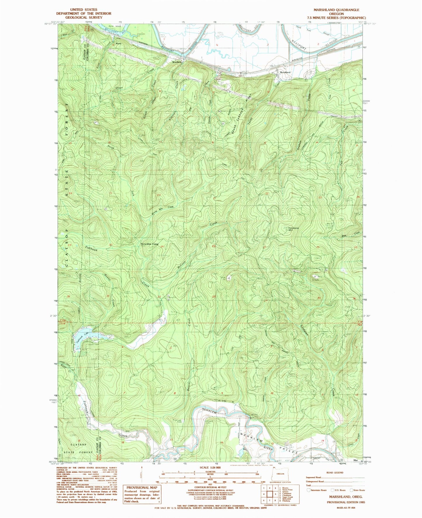
Classic USGS Marshland Oregon 7.5'x7.5' Topo Map
Couldn't load pickup availability
Historical USGS topographic quad map of Marshland in the state of Oregon. Typical map scale is 1:24,000, but may vary for certain years, if available. Print size: 24" x 27"
This quadrangle is in the following counties: Clatsop, Columbia.
The map contains contour lines, roads, rivers, towns, and lakes. Printed on high-quality waterproof paper with UV fade-resistant inks, and shipped rolled.
Contains the following named places: Adams Creek, Beaver Creek, Clatskanie Mountain, Eilertsen Creek, Fishhawk Cemetery, Lindgren Creek, Graham Creek, Marshland, McCoon Creek, OK Creek, Olsen Creek, Ross Creek, Skunk Cabbage Ridge, South Olsen Creek, Uncle Tom Slough, Wood Creek, Fishhawk (historical), Lyons Creek, Wrong Way Creek, North Fork Fishhawk Creek, Tunnel Mountain, Ford Creek, Favorite Creek, Kerry Island, Fishhawk Dam, Fishhawk Lake, Boxler Creek, Horseshoe Camp, Tandy Creek, Fishhawk Creek, Warner Creek, Calvin Creek, Riverside Post Office (historical), Fishhawk Post Office (historical), Kerry Post Office (historical), Marshland Post Office (historical), Woodson Post Office (historical), Kerry, Woodson, Lower Midland Bridge, Mist Elementary School, Mist - Birkenfeld Rural Fire Protection District Fishhawk Lake Station, Mist - Birkenfeld Rural Fire Protection District, Fishhawk Lake Recreation Club Wastewater Treatment Facility, Mist Underground Gas Storage Facility


