MyTopo
Classic USGS Marshlands Pennsylvania 7.5'x7.5' Topo Map
Couldn't load pickup availability
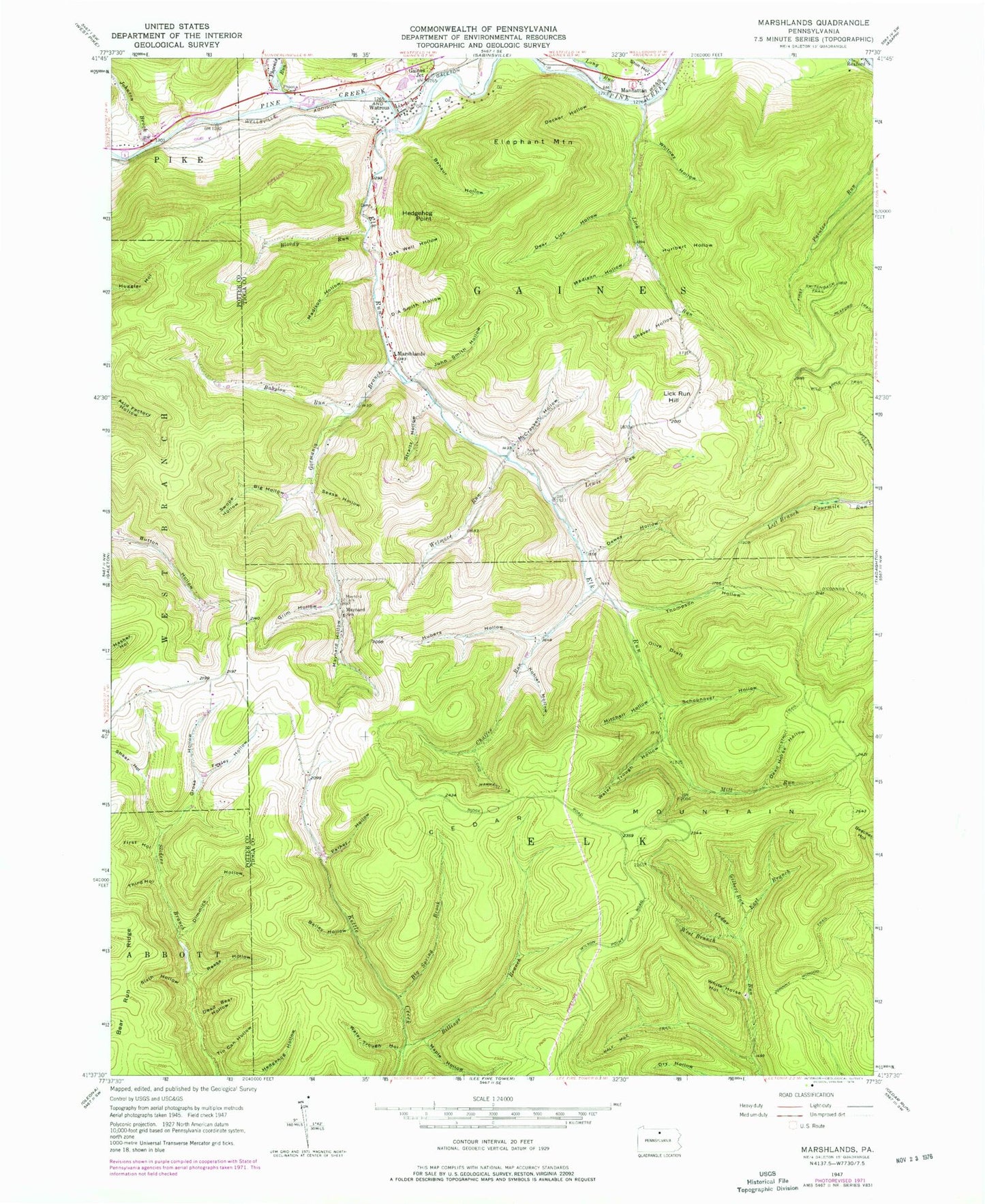
Historical USGS topographic quad map of Marshlands in the state of Pennsylvania. Typical map scale is 1:24,000, but may vary for certain years, if available. Print size: 24" x 27"
This quadrangle is in the following counties: Potter, Tioga.
The map contains contour lines, roads, rivers, towns, and lakes. Printed on high-quality waterproof paper with UV fade-resistant inks, and shipped rolled.
Contains the following named places: Babylon Run, Bailey Hollow, Benaur Hollow, Big Hollow, Big Spring Brook, Billings Branch, Bloody Run, Cedar Mountain, Chaffee Run, Chestnut Trail, D A Smith Hollow, Dead Bear Hollow, Dead Horse Hollow, Decker Hollow, Deer Lick Hollow, Dewey Hollow, Dimmick Hollow, East Branch Cedar Run, Elephant Mountain, Elk Run, Fegley Hollow, First Hollow, First Switchback Trail, Gas Well Hollow, Gilbert Run, Gormania Branch, Grim Hollow, Gross Hollow, Half Mile Trail, Hedgehog Point, Hubers Hollow, Hurlbert Hollow, John Smith Hollow, Johnny McHood Trail, Johnson Brook, Kohler Hollow, Lewis Run, Lick Run, Lick Run Hill, Long Run, Long Warrant Trail, Madison Hollow, Madison Hollow, Maple Hollow, Maynard Cemetery, Maynard Hollow, Maynard School, McCracker Hollow, Mill Run, Mitchell Hollow, Knowlton Cemetery, O'Connor Trail, Olive Draft, Parker Hollow, Phoenix Cemetery, Phoenix Run, Reese Hollow, Schoonover Hollow, Sease Hollow, Shaar Hollow, Shaver Hollow, Shin Hollow, Sixth Hollow, Straitz Hollow, Swope Hollow, Third Hollow, Thompson Hollow, Tin Can Hollow, Waltrous, Water Trough Hollow, West Branch Cedar Run, Bake Oven Trail, Wetmore Run, White Horse Hollow, Whitney Hollow, Water Trough Hollow, Gaines Junction, Manhattan, Marshlands, Water Tank Trail, Billings Trail, Big Spring Brook Trail, Dewey Hollow Trail, Elk Run Post Office (historical), Township of Gaines, Mattison - Lick Run Cemetery, Watrous Cemetery, Madison Hollow


