MyTopo
Classic USGS Marsland SE Nebraska 7.5'x7.5' Topo Map
Regular price
$16.95
Regular price
Sale price
$16.95
Unit price
per
Couldn't load pickup availability
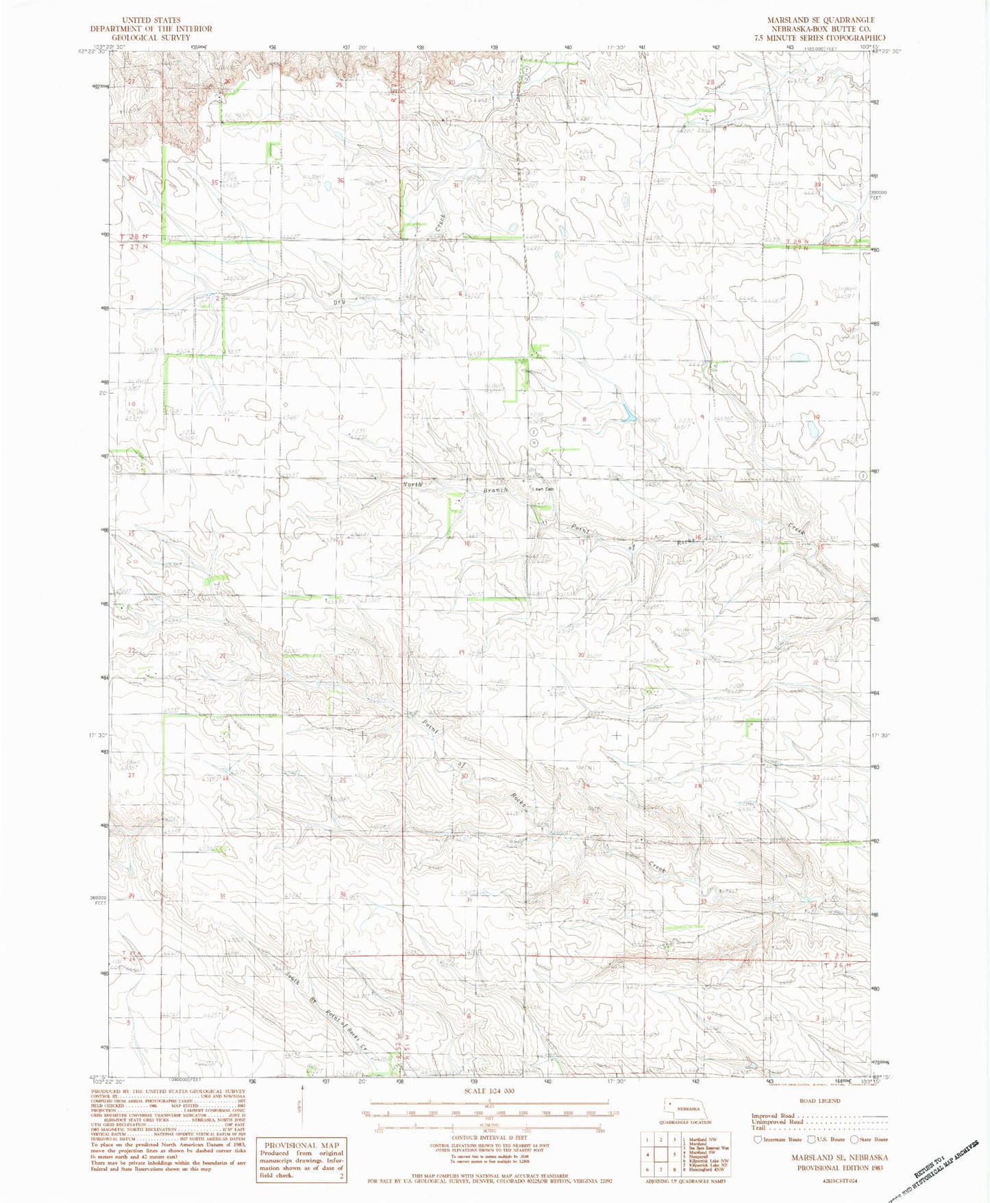
Historical USGS topographic quad map of Marsland SE in the state of Nebraska. Map scale may vary for some years, but is generally around 1:24,000. Print size is approximately 24" x 27"
This quadrangle is in the following counties: Box Butte.
The map contains contour lines, roads, rivers, towns, and lakes. Printed on high-quality waterproof paper with UV fade-resistant inks, and shipped rolled.
Contains the following named places: Henrich Dam, Henrich Reservoir, Hilltop School, Lawn Cemetery, Lawn Election Precinct, Nikont Dam, Nikont Reservoir, Saint Marys Church, School Number 20, School Number 28, The Sidney-Black Hills Trail Historical Marker, ZIP Code: 69348