MyTopo
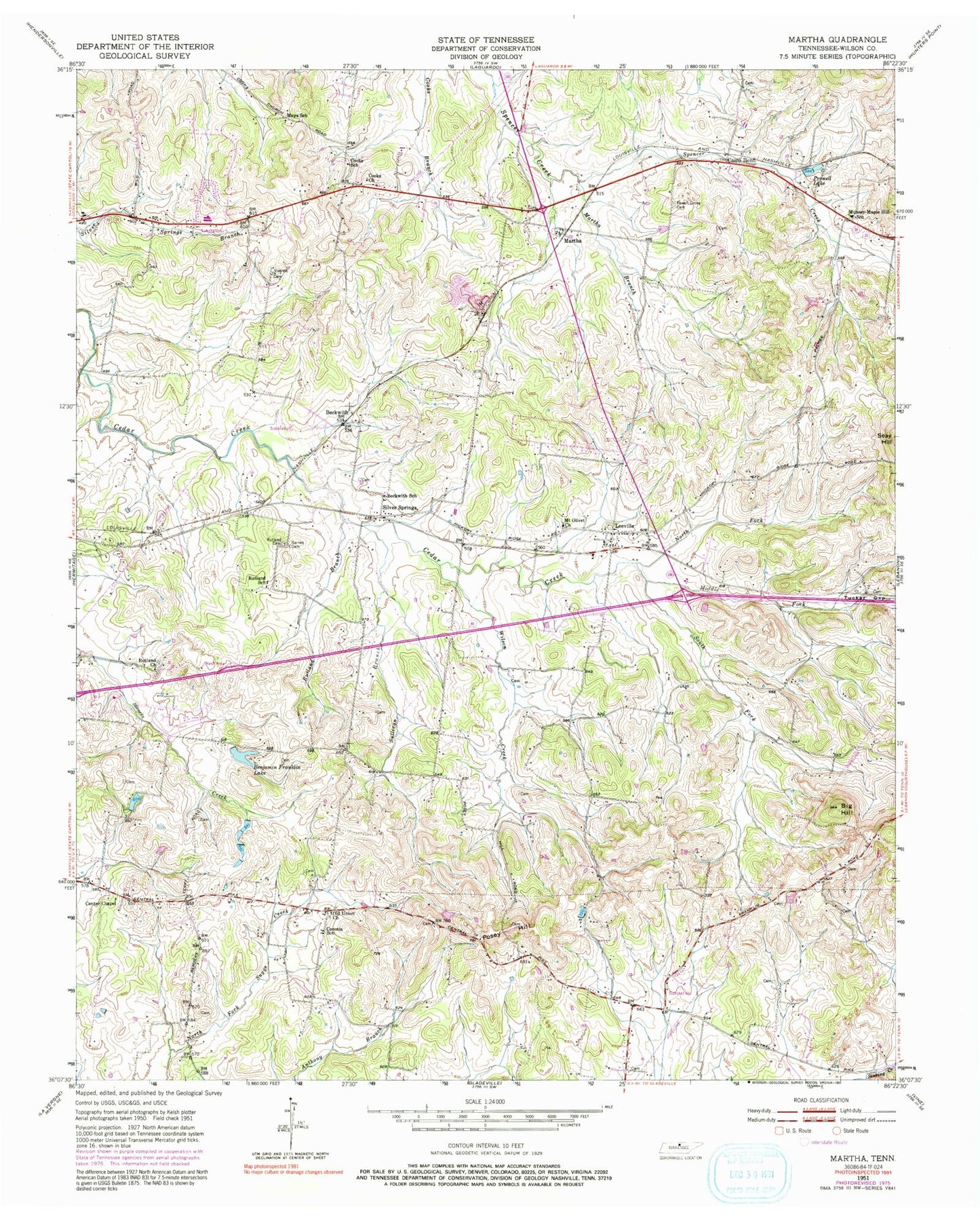
Classic USGS Martha Tennessee 7.5'x7.5' Topo Map
Couldn't load pickup availability
Historical USGS topographic quad map of Martha in the state of Tennessee. Map scale may vary for some years, but is generally around 1:24,000. Print size is approximately 24" x 27"
This quadrangle is in the following counties: Wilson.
The map contains contour lines, roads, rivers, towns, and lakes. Printed on high-quality waterproof paper with UV fade-resistant inks, and shipped rolled.
Contains the following named places: Beckwith, Beckwith School, Belinda City, Benjamin Franklin Lake, Big Hill, Breeden's Orchard, Cairo Bend, Center Chapel, Commissioner District 11, Commissioner District 14, Commissioner District 23, Commissioner District 25, Cooks Church, Cooks School, Coronia School, Daniels Lake Dam, Gaines Cemetery, Gravel Hill Church, Horn Spring Number Two, Lebanon Fire Department Station 3, Leeville, Leeville High School, Life Church, Lindsayville, Lohmans Store, Martha, Martha Baptist Church, Martha Branch, Martha-Laguardo Division, Mays School, Middle Fork Cedar Creek, Mount Olivet Church, Mount View School, Muncie, Munsey-Maple Hill School, North Fork Cedar Creek, Old Union Church, Posey Hill, Powell Church, Powell Grove Cemetery, Prowell Lake, Rutland Branch, Rutland Cemetery, Rutland Church, Rutland School, Silver Springs, Silver Springs Baptist Church, South Fork Cedar Creek, Stoner Creek Elementary School, Sullivan Branch, Tucker Gap, Tuckers Gap, Viverett Cemetery, West End Elementary School, Wilson Creek, ZIP Code: 37122


