
MyTopo
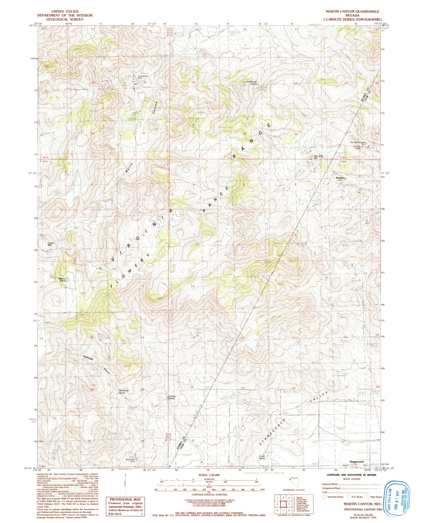
Classic USGS Martin Canyon Nevada 7.5'x7.5' Topo Map
Couldn't load pickup availability
Historical USGS topographic quad map of Martin Canyon in the state of Nevada. Map scale may vary for some years, but is generally around 1:24,000. Print size is approximately 24" x 27"
This quadrangle is in the following counties: Lyon, Storey.
The map contains contour lines, roads, rivers, towns, and lakes. Printed on high-quality waterproof paper with UV fade-resistant inks, and shipped rolled.
Contains the following named places: Biddleman Spring, Blackhawk Canyon, Blackhawk Mine, Blackhawk Spring, Cinder Mountain, Cinder Mountain Mine, Cooney Reservoir, Cooney Spring, Corral Spring, Goose Valley Mine, Gooseberry Mill, Gooseberry Mine, Gooseberry Mine Tailings Dam, Gooseberry Tailings Reservoir, Iron Mountain Mining District, Lizard Mine, Martin Canyon, Meeker Pond, Ramsey, Ramsey Mine, Ramsey Mining District, Ramsey Post Office, Ramsey Summit, Ramsey-Comstock Mine, San Juan Hill, San Juan Mine, Windy Day Mine


