MyTopo
Classic USGS Martin Georgia 7.5'x7.5' Topo Map
Couldn't load pickup availability
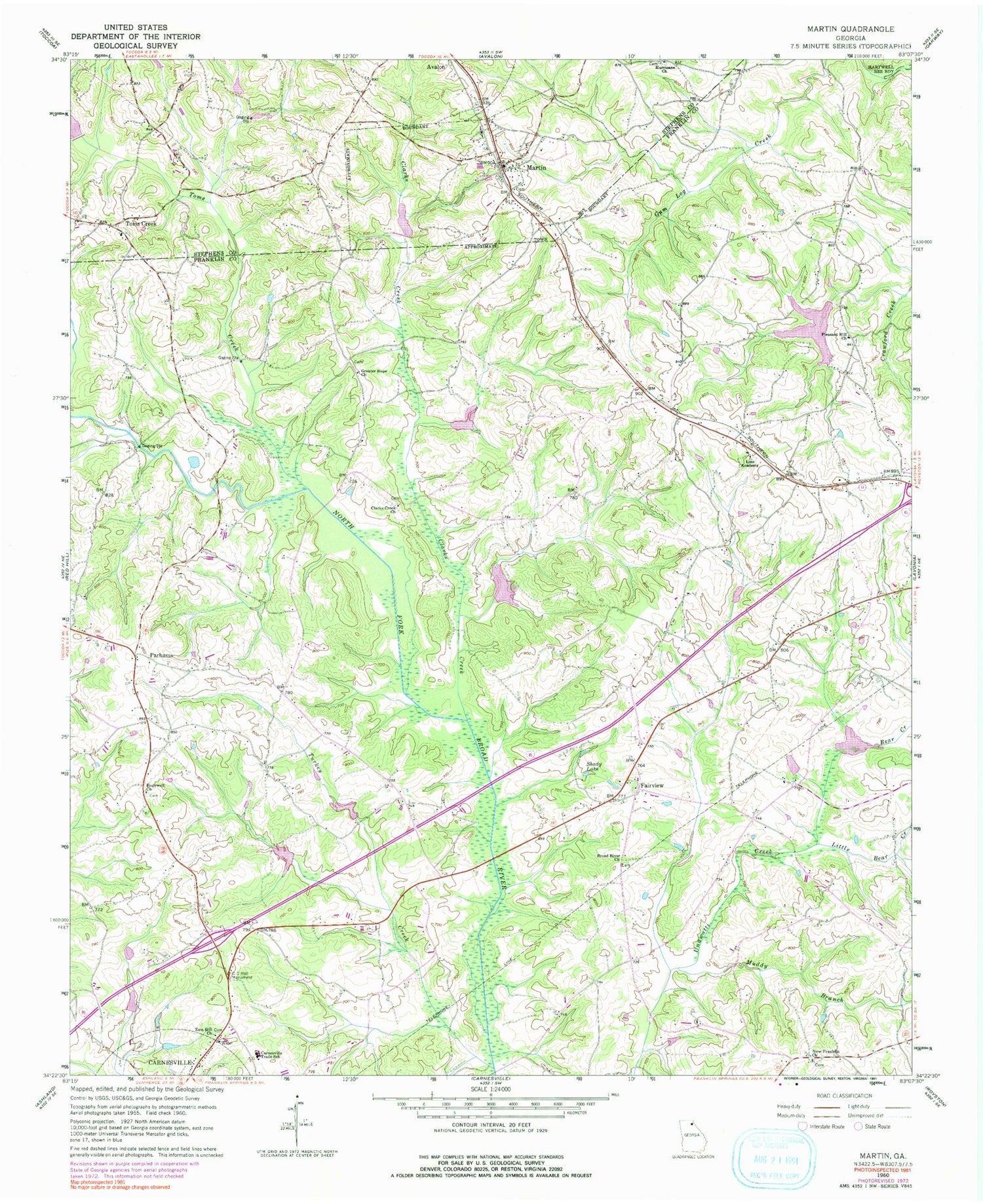
Historical USGS topographic quad map of Martin in the state of Georgia. Map scale may vary for some years, but is generally around 1:24,000. Print size is approximately 24" x 27"
This quadrangle is in the following counties: Franklin, Stephens.
The map contains contour lines, roads, rivers, towns, and lakes. Printed on high-quality waterproof paper with UV fade-resistant inks, and shipped rolled.
Contains the following named places: Bear Creek, Broad River Air Park, Broad River Church, C C Hall Monument, Carnesville Trade School, Central Franklin Elementary School, Clarks Creek, Clarks Creek Church, Fairview, Fairview Church, Franklin County, Franklin County Middle School, Franklin Memorial Gardens, Greater Hope Church, Hopewell Church, Hurricane Grove Cemetery, Lavonia Division, Lavonia Water Works Dam, Lavonia Water Works Lake, Line Academy, Line Volunteer Fire Department, Little Bear Creek, Martin, Martin Baptist Church, Martin Community Cemetery, Martin Post Office, Muddy Branch, New Franklin Church, North Broad River Structure 33 Dam, North Broad River Structure Four Dam, North Broad River Structure Number 32 Dam, North Broad River Structure Number 38 Dam, North Broad River Structure Number Five Dam, North Broad River Structure Number One Dam, North Fork Broad River, North Fork Broad River Dam Number 13, North Fork Broad River Structure 11 Dam, North Fork Broad River Structure 14 Dam, North Fork Broad River Structure 15 Dam, Parhams, Pleasant Hill Cemetery, Pleasant Hill Church, Red Hill Volunteer Fire Department, Reservoir 11, Reservoir 14, Reservoir 15, Reservoir 32, Reservoir 33, Reservoir 38, Reservoir Five, Reservoir Four, Reservoir Number One, Revelation Chapel, Salubrity, Shady Lake, Stephens County Fire Department Station 5, Thompsons Store, Toms Creek, Toms Creek Baptist Church, Toms Creek Cemetery, Town of Martin, Turkey Creek, Zion Hill Church, ZIP Code: 30557


