
MyTopo
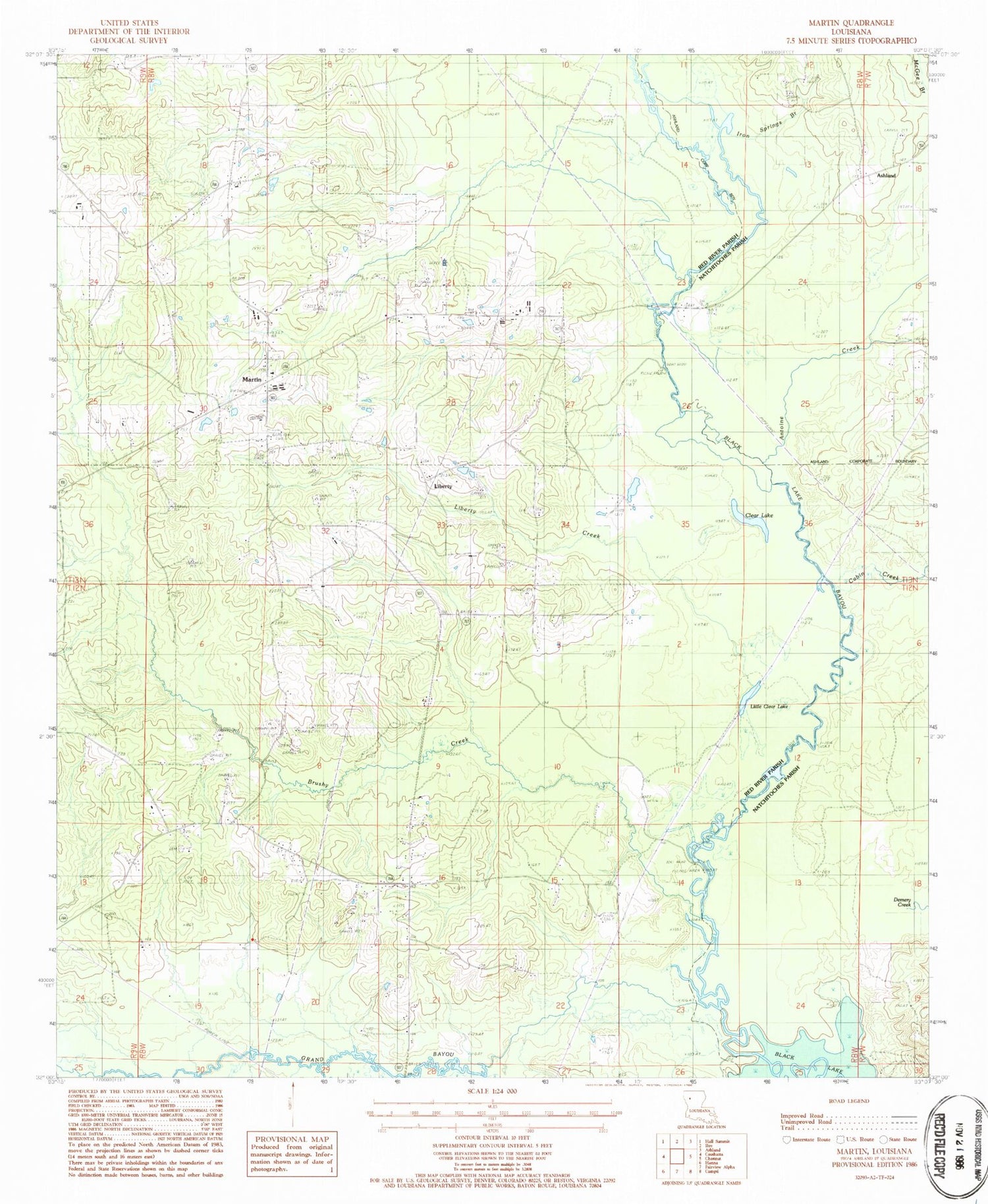
Classic USGS Martin Louisiana 7.5'x7.5' Topo Map
Couldn't load pickup availability
Historical USGS topographic quad map of Martin in the state of Louisiana. Map scale may vary for some years, but is generally around 1:24,000. Print size is approximately 24" x 27"
This quadrangle is in the following counties: Natchitoches, Red River.
The map contains contour lines, roads, rivers, towns, and lakes. Printed on high-quality waterproof paper with UV fade-resistant inks, and shipped rolled.
Contains the following named places: Antoine Creek, Brushy Creek, Cabin Creek, Clear Lake, Clear Springs Cemetery, Clear Springs Church, Coffeys Bridge, Demery Creek, Grand Bayou, Harvey Church, Hickory Grove Cemetery, Hickory Grove Church, Iron Springs Branch, John K. Kelly Grand Bayou Reservoir, Lake Village Bridge, Liberty, Liberty Cemetery, Liberty Church, Liberty Creek, Liberty Gas Field, Little Clear Lake, Martin, Martin Cemetery, Martin High School, Martin Lookout Tower, Parish Governing Authority District 2, Pickett Cemetery, Robertson Branch, Salt Springs Church, Southwest Demery Creek Gas Field, Thomas - Wren Cemetery, Village of Martin, Ward One


