
MyTopo
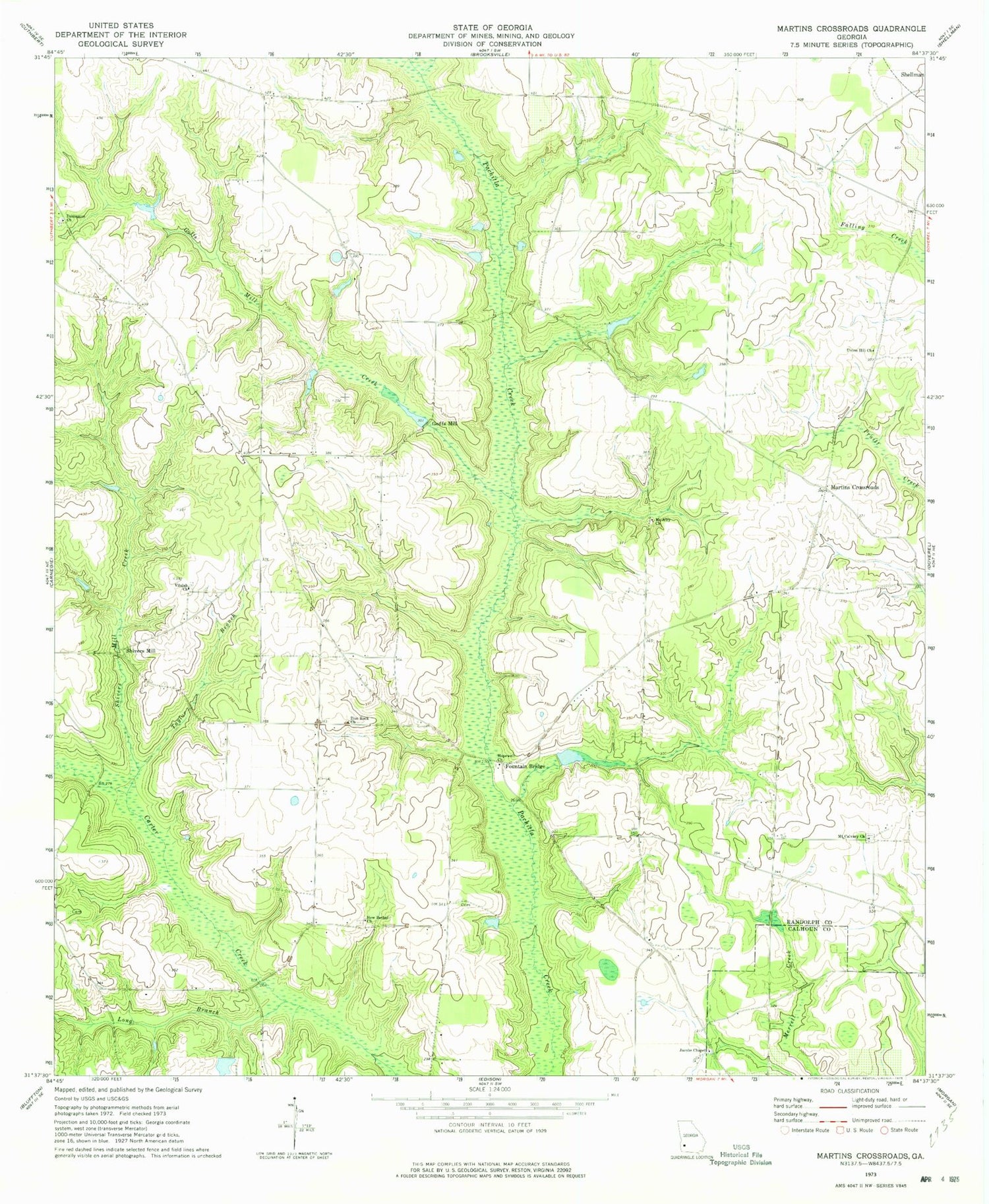
Classic USGS Martins Crossroads Georgia 7.5'x7.5' Topo Map
Couldn't load pickup availability
Historical USGS topographic quad map of Martins Crossroads in the state of Georgia. Map scale may vary for some years, but is generally around 1:24,000. Print size is approximately 24" x 27"
This quadrangle is in the following counties: Calhoun, Randolph.
The map contains contour lines, roads, rivers, towns, and lakes. Printed on high-quality waterproof paper with UV fade-resistant inks, and shipped rolled.
Contains the following named places: Beulah Church, Bridges Lake, Bridges Lake Dam, Curry Lake, Curry Lake Dam, Damascus Baptist Church Cemetery, Damascus Church, Fountain Bridge, Goffs Mill, Goffs Mill Creek, Grubbs Airport, Hopewell Church, Jacobs Chapel, Long Branch, Martins Crossroads, Mount Airy Church, Mount Calvary Church, New Bethel Baptist Church Cemetery, New Bethel Church, Shellman Division, Shivers Mill, Shivers Mill Creek, Taylor Branch, Union Hill Church, Vilulah Church, Williams Lake, Williams Lake Dam, Zion Rock Church


