MyTopo
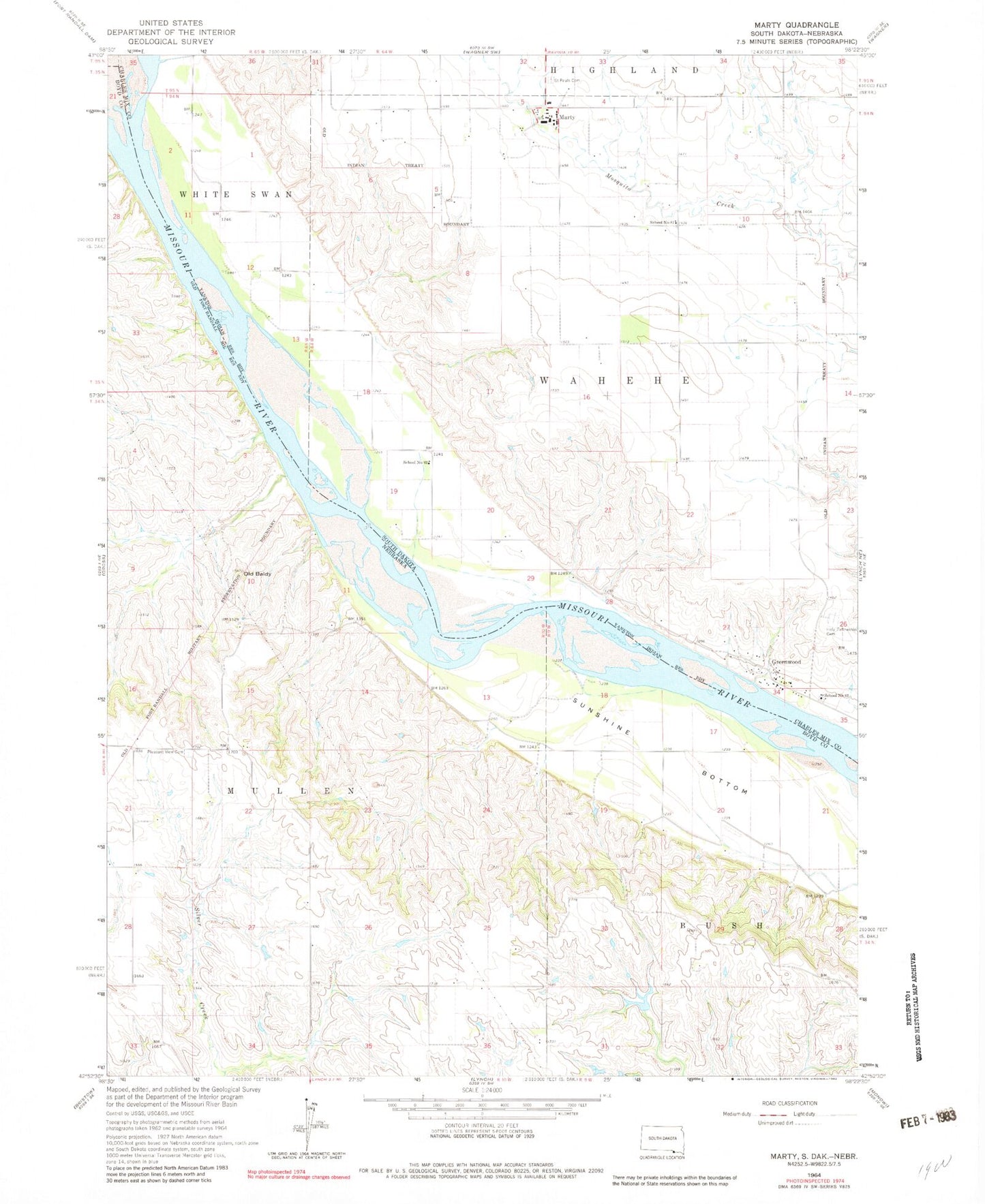
Classic USGS Marty South Dakota 7.5'x7.5' Topo Map
Couldn't load pickup availability
Historical USGS topographic quad map of Marty in the states of South Dakota, Nebraska. Map scale may vary for some years, but is generally around 1:24,000. Print size is approximately 24" x 27"
This quadrangle is in the following counties: Boyd, Charles Mix, Gregory.
The map contains contour lines, roads, rivers, towns, and lakes. Printed on high-quality waterproof paper with UV fade-resistant inks, and shipped rolled.
Contains the following named places: Greenwood, Greenwood Episcopal Cemetery, Greenwood Presbyterian Cemetery, Holy Fellowship Cemetery, Marty, Marty Census Designated Place, Marty Elementary School, Marty Indian School, Marty Middle School, Marty Post Office, Micanek Reservoir, Michanek Dam, Old Baldy, Saint Pauls Cemetery, School Number 81, School Number 82, School Number 83, Sevenmile Creek, Sunshine Bottom, Township of Mullen, Township of Wahehe, ZIP Code: 57361