
MyTopo
Classic USGS Marys River Basin NW Nevada 7.5'x7.5' Topo Map
Couldn't load pickup availability
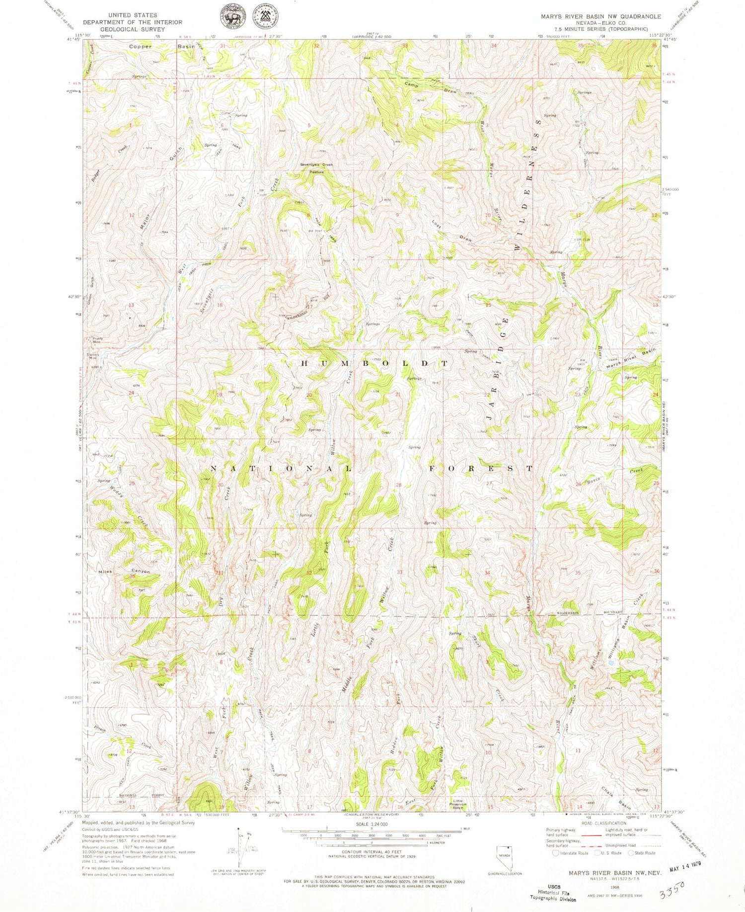
Historical USGS topographic quad map of Marys River Basin NW in the state of Nevada. Map scale may vary for some years, but is generally around 1:24,000. Print size is approximately 24" x 27"
This quadrangle is in the following counties: Elko.
The map contains contour lines, roads, rivers, towns, and lakes. Printed on high-quality waterproof paper with UV fade-resistant inks, and shipped rolled.
Contains the following named places: Basin Creek, Camp Draw, Chalk Basin Dam Site, East Fork Marys River, Fox Creek Range, Jarbidge Division, Little Fork Willow Creek, Lost Draw, Major Gulch, Middle Fork Willow Creek, Mud Spring, Prunty Mine, Seventysix Creek Pasture, Short Creek, Slattery Mine, West Fork Seventysix Creek, West Fork Willow Creek, West Marys River, Williams Basin, Williams Creek


