
MyTopo
Classic USGS Marys River Basin SE Nevada 7.5'x7.5' Topo Map
Couldn't load pickup availability
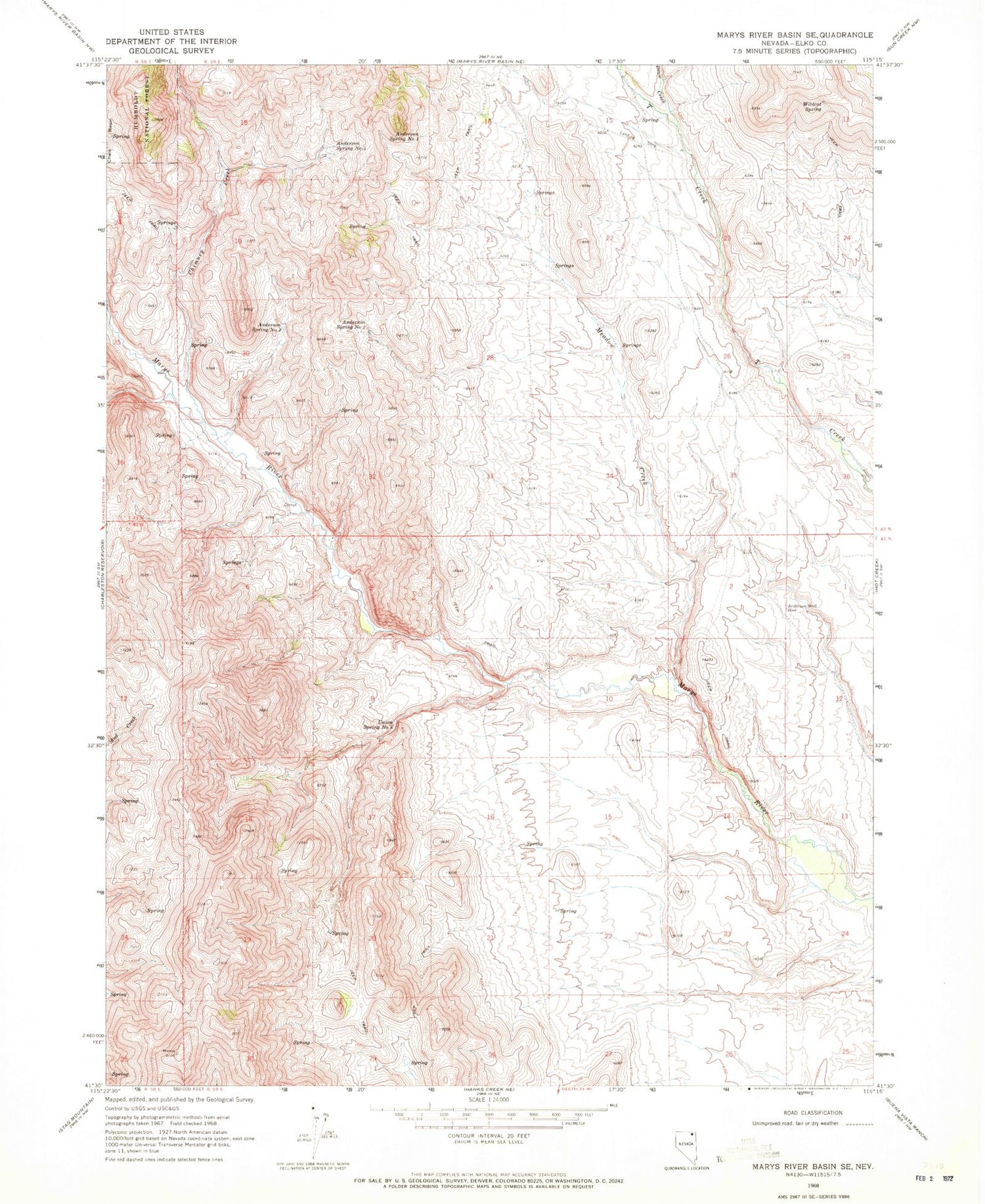
Historical USGS topographic quad map of Marys River Basin SE in the state of Nevada. Map scale may vary for some years, but is generally around 1:24,000. Print size is approximately 24" x 27"
This quadrangle is in the following counties: Elko.
The map contains contour lines, roads, rivers, towns, and lakes. Printed on high-quality waterproof paper with UV fade-resistant inks, and shipped rolled.
Contains the following named places: Anderson Spring Number Four, Anderson Spring Number One, Anderson Spring Number Three, Anderson Spring Number Two, Anderson Well, Chimney Creek, Deep Canyon Creek, Draw Creek, Greggs Ranch, Lower Marys River Dam Site, Meadow Creek, Redding Cabin, Spanish Cabin, Union Spring Number Eight, Upper Marys River Dam Site, Wildcat Spring


