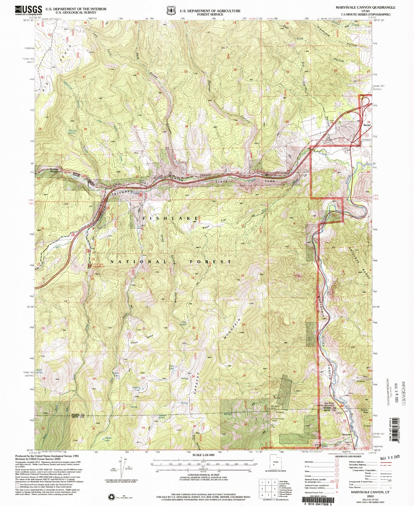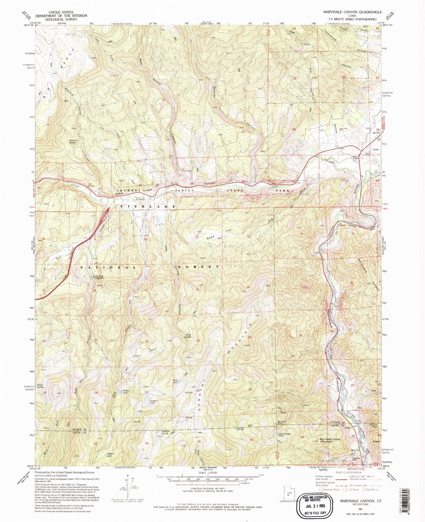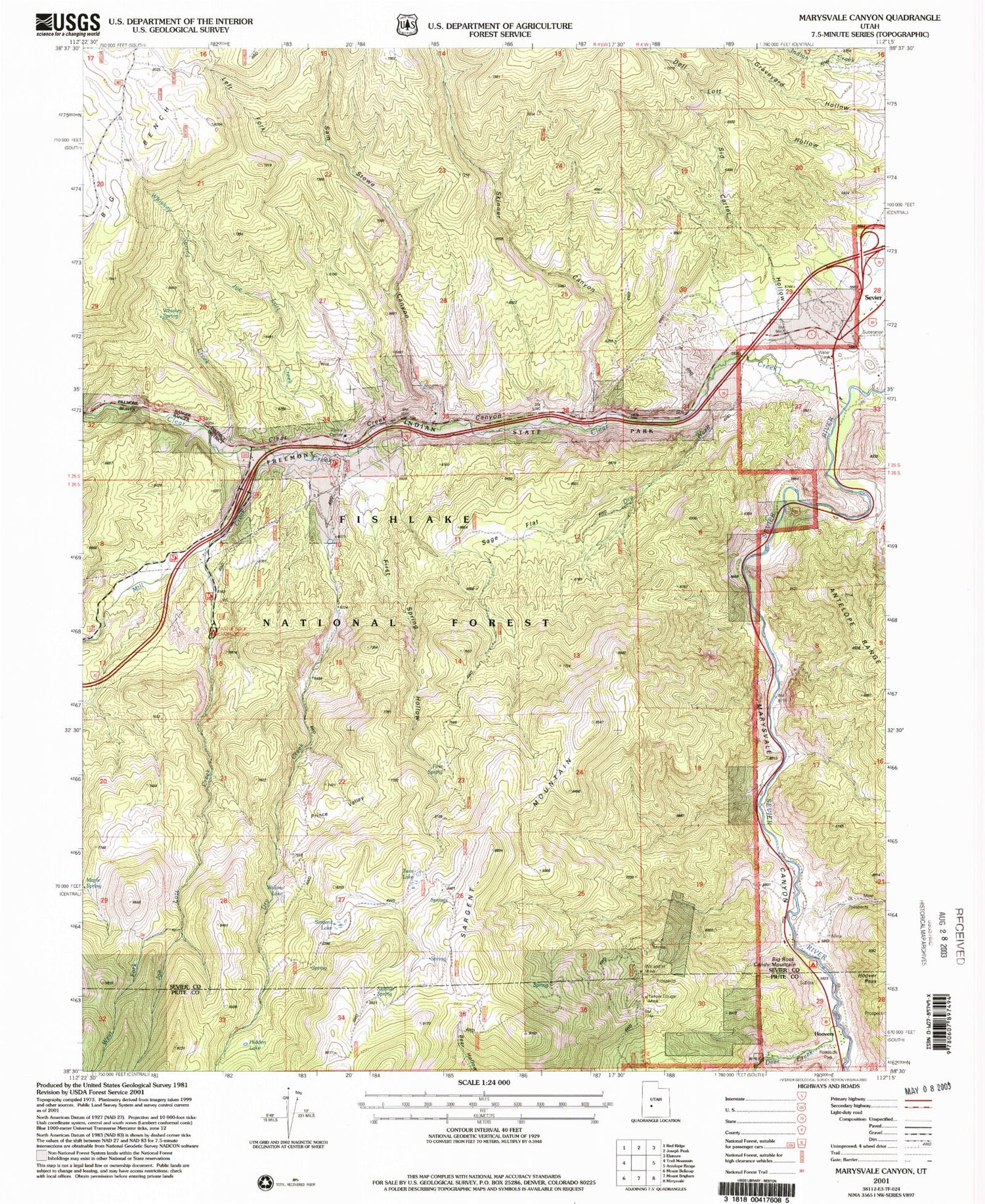
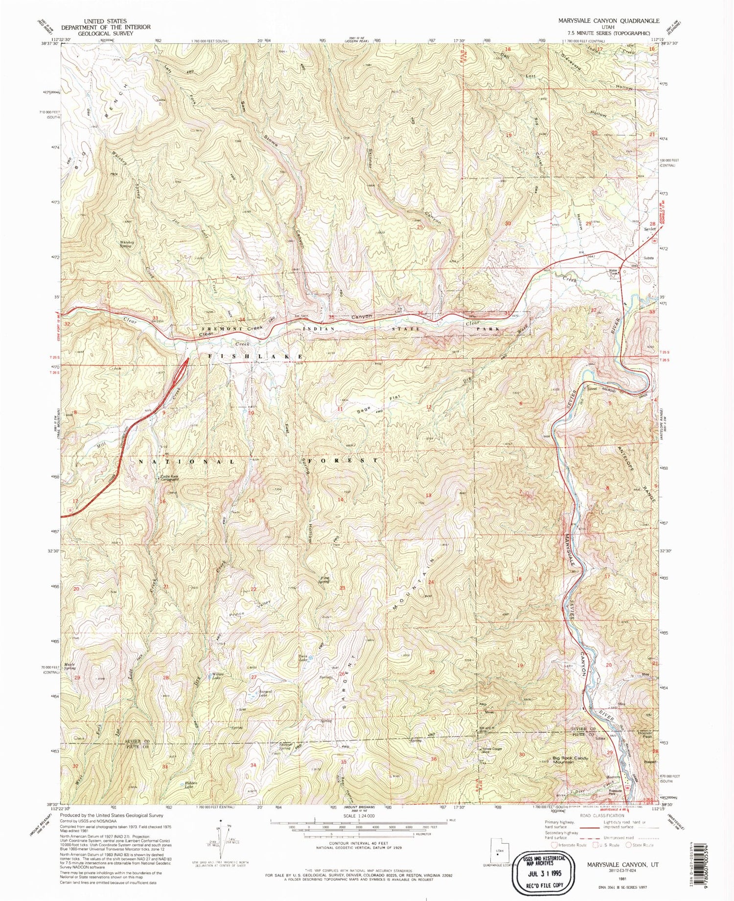
MyTopo
Classic USGS Marysvale Canyon Utah 7.5'x7.5' Topo Map
Couldn't load pickup availability
Historical USGS topographic quad map of Marysvale Canyon in the state of Utah. Map scale may vary for some years, but is generally around 1:24,000. Print size is approximately 24" x 27"
This quadrangle is in the following counties: Piute, Sevier.
The map contains contour lines, roads, rivers, towns, and lakes. Printed on high-quality waterproof paper with UV fade-resistant inks, and shipped rolled.
Contains the following named places: Belknap, Belknap Ranger Station, Big Bench, Big Rock Candy Mountain, BW and H Mine, Castle Rock Campground, Clear Creek, Clear Creek Canyon, Deer Creek, Dry Canyon, Dry Creek, Dry Wash, First Spring, First Spring Hollow, Fremont Indian State Park, Hidden Lake, Hoover Peak, Hoovers, Icicle Bench, Joe Lott Creek, Left Fork Sam Stowe Canyon, Left Fork Sam Stowe Creek, Marysvale Canyon, Mill Creek, Pittsburg, Prince Valley, Sage Flat, Sam Stowe Canyon, Sam Stowe Creek, Sargent Lake, Sargent Mountain, Sevier, Sevier River Bend Recreation Site, Sid Carter Hollow, Skinner Canyon, Skinner Spring, Twin Lake, West Fork Joe Lott Creek, Whiskey Spring, Whiskey Spring Creek, Willow Lake, Yellow Cougar Mine, ZIP Code: 84766