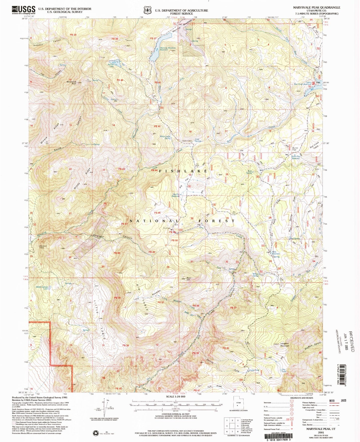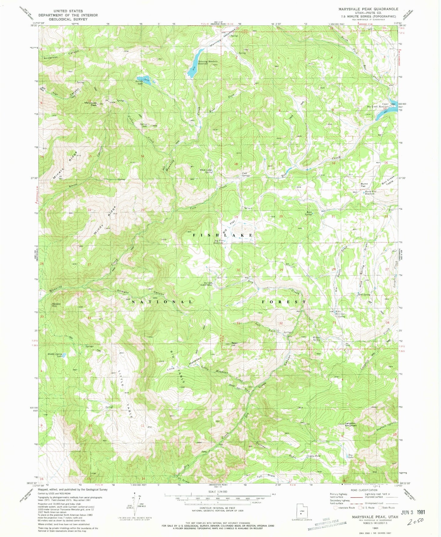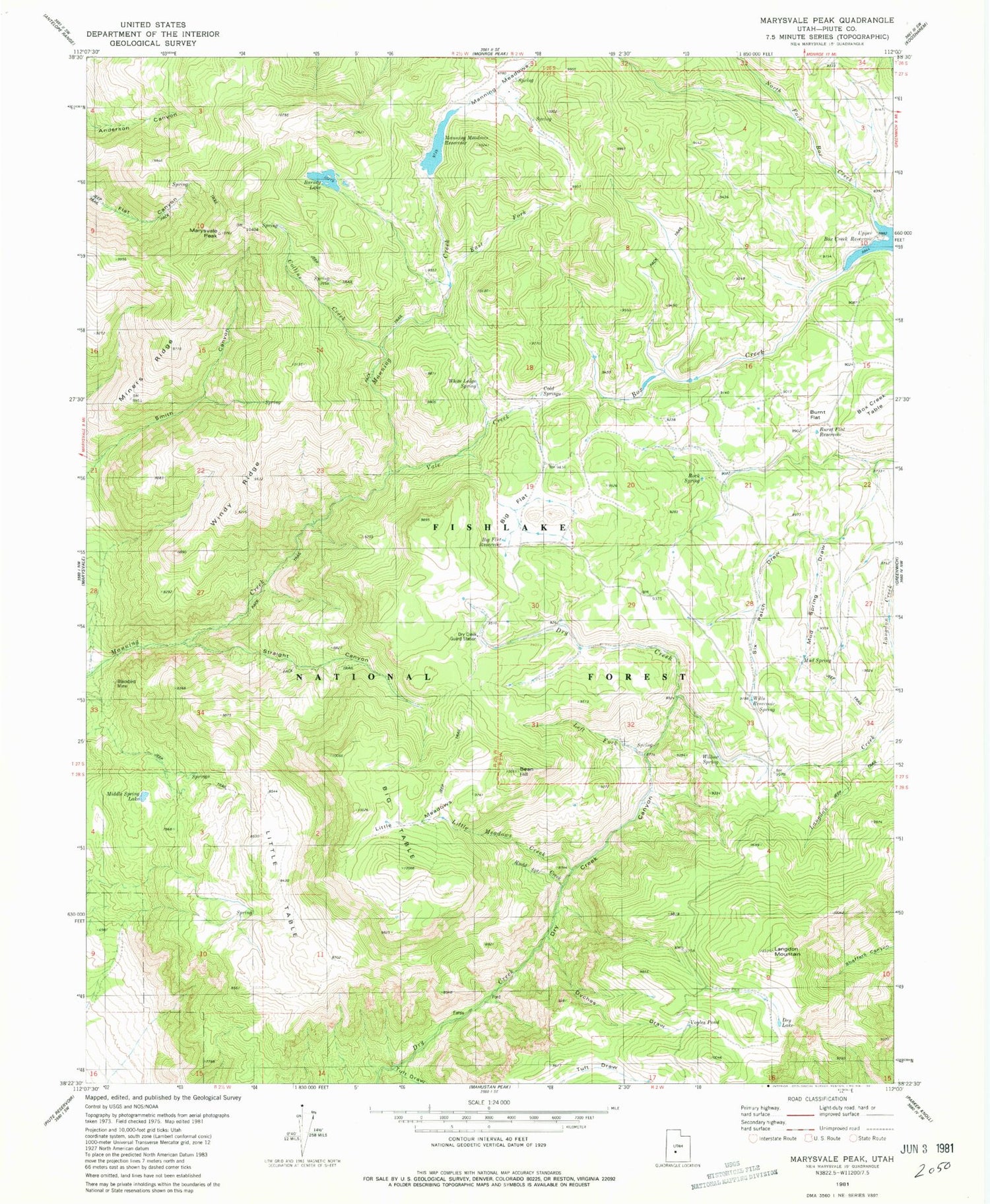
MyTopo
Classic USGS Marysvale Peak Utah 7.5'x7.5' Topo Map
Couldn't load pickup availability
Historical USGS topographic quad map of Marysvale Peak in the state of Utah. Map scale may vary for some years, but is generally around 1:24,000. Print size is approximately 24" x 27"
This quadrangle is in the following counties: Piute.
The map contains contour lines, roads, rivers, towns, and lakes. Printed on high-quality waterproof paper with UV fade-resistant inks, and shipped rolled.
Contains the following named places: Barney Lake, Barney Lake Reservoir Dam, Bean Hill, Big Flat, Big Flat Reservoir, Big Table, Blackbird Mine, Burnt Flat, Burnt Flat Reservoir, Cold Springs, Dry Creek Guard Station, Dry Lake, Dyches Draw, East Fork, Langdon Creek, Langdon Mountain, Left Fork Dry Creek, Little Meadows, Little Meadows Creek, Little Table, Manning Meadows, Manning Meadows Dam, Manning Meadows Reservoir, Marysvale Peak, Middle Spring Lake, Miners Ridge, Mud Spring, Mud Spring Draw, North Fork Box Creek, Ogden Cabin, Rock Spring, Rudd Spring Creek, Six Patch Draw, Smith Canyon, Smith Canyon Trail, Straight Canyon, Tuft Draw, Upper Box Creek Dam, Upper Box Creek Reservoir, Vale Creek, Voyles Pond, White Ledge Spring, Willis Reservoir, Willow Spring, Wills Reservoir, Windy Ridge