MyTopo
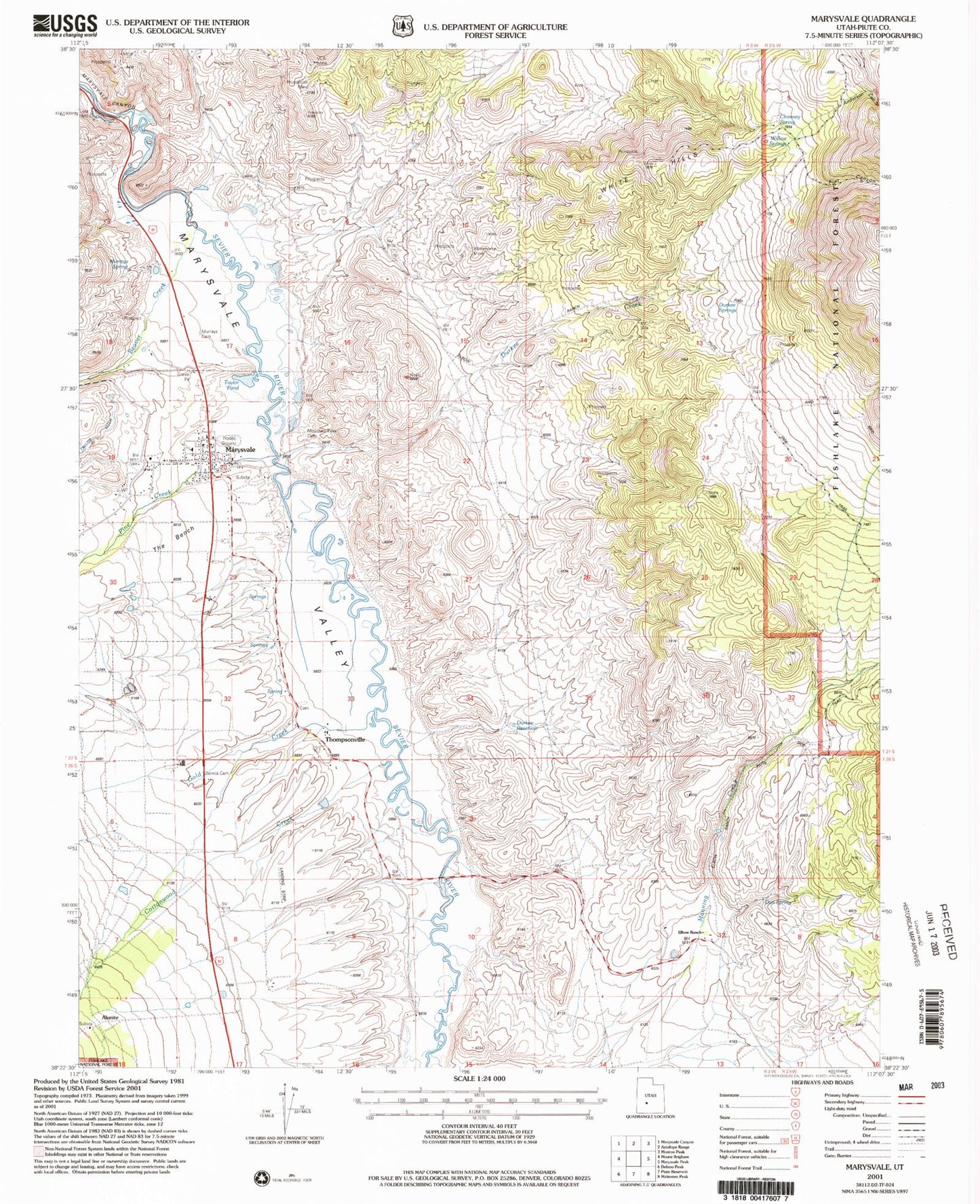
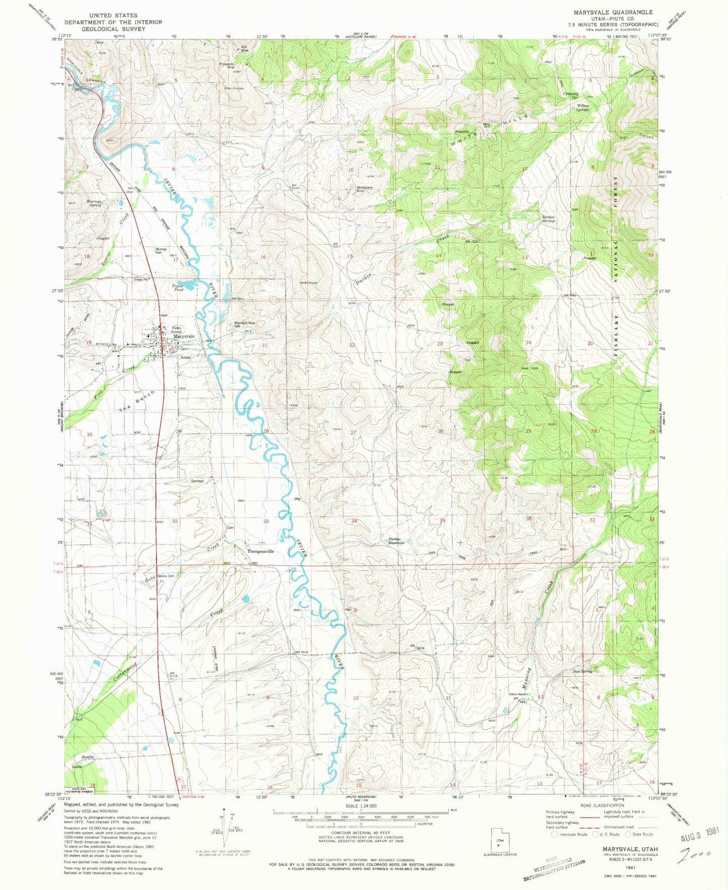
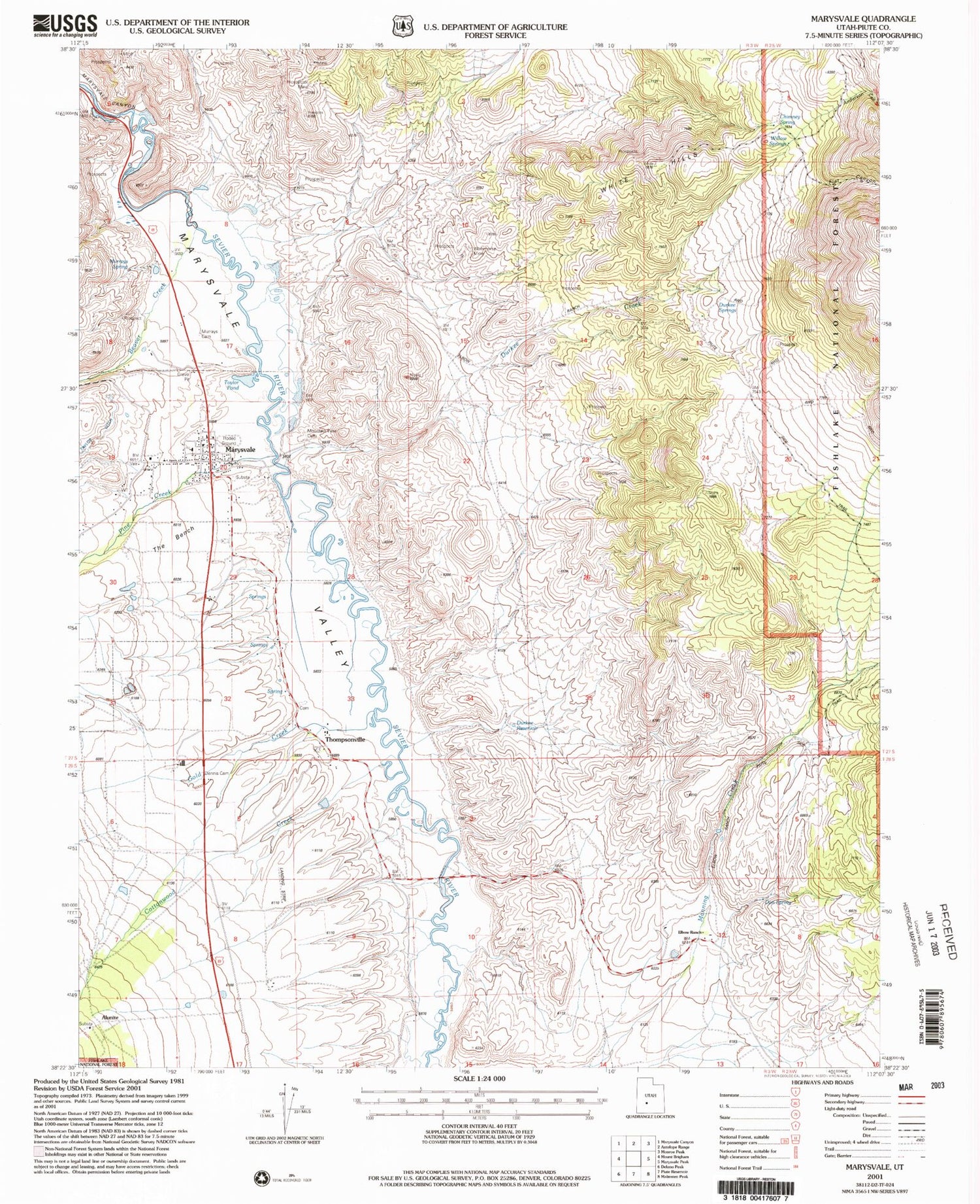
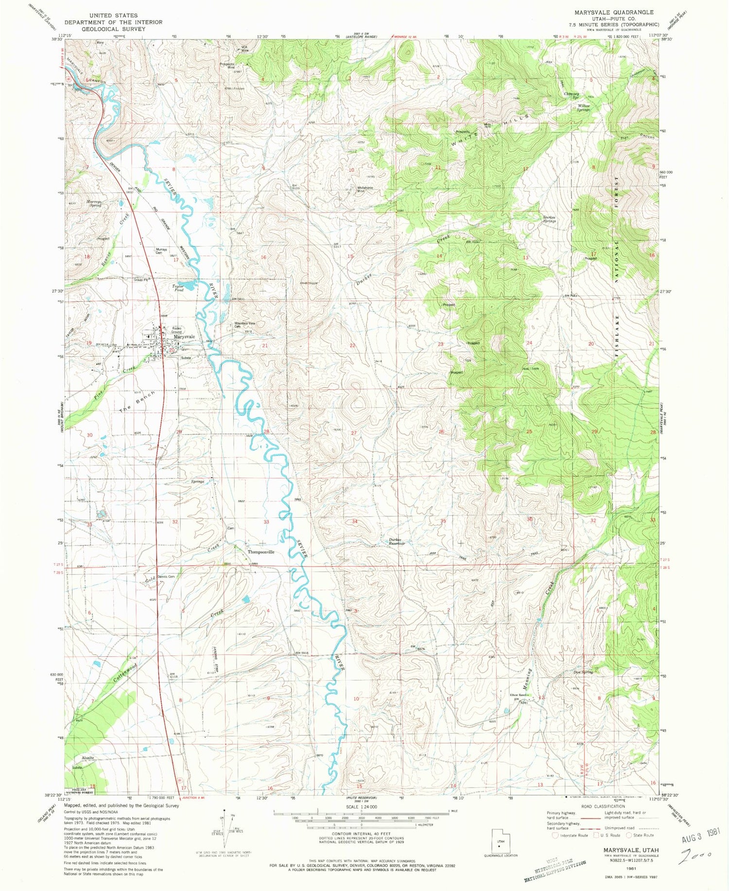
Classic USGS Marysvale Utah 7.5'x7.5' Topo Map
Couldn't load pickup availability
Historical USGS topographic quad map of Marysvale in the state of Utah. Map scale may vary for some years, but is generally around 1:24,000. Print size is approximately 24" x 27"
This quadrangle is in the following counties: Piute.
The map contains contour lines, roads, rivers, towns, and lakes. Printed on high-quality waterproof paper with UV fade-resistant inks, and shipped rolled.
Contains the following named places: Alunite, Anderson Canyon, Beaver Creek, Chimney Spring, Cottonwood Creek, Deer Study Plot, Dennis Cemetery, Don Spring, Durkee Creek, Durkee Reservoir, Durkee Springs, Durkee Springs Recreation Site, Elbow Ranch, Flat Canyon, Gold Creek, Manning Creek, Marysvale, Marysvale Division, Marysvale Post Office, Marysvale Valley, Marysvale Volunteer Fire Department, Mountain View Cemetery, Murrays Cemetery, Murrays Spring, Oscarson Elementary School, Pine Creek, Piute County Ambulance Marysvale, Prospector Mine, Taylor Pond, The Bench, The Church of Jesus Christ of Latter Day Saints, Thompsonville, Thompsonville Cemetery, VCA Mine, White Hills, White Mine, Whitehorse Mine, Willow Springs, ZIP Code: 84750


