MyTopo
Classic USGS Masaryktown Florida 7.5'x7.5' Topo Map
Couldn't load pickup availability
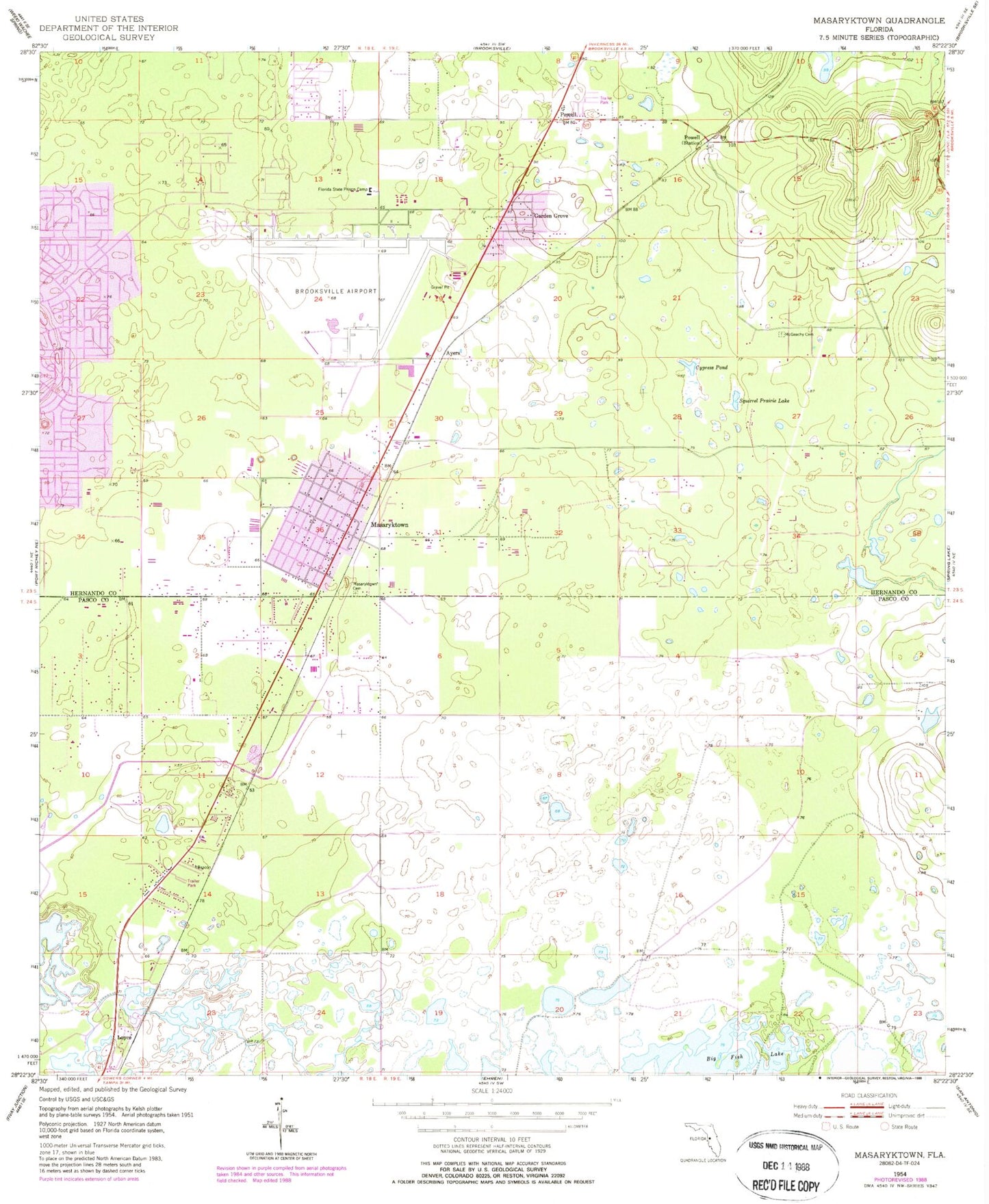
Historical USGS topographic quad map of Masaryktown in the state of Florida. Map scale may vary for some years, but is generally around 1:24,000. Print size is approximately 24" x 27"
This quadrangle is in the following counties: Hernando, Pasco.
The map contains contour lines, roads, rivers, towns, and lakes. Printed on high-quality waterproof paper with UV fade-resistant inks, and shipped rolled.
Contains the following named places: Adelphi School, Aviation Post Office, Ayers, Bayfront Medical Center Bayflite Station 4, Brooksville Army Air Field, Brooksville-Tampa Bay Regional Airport, Chocachatti Elementary School, Civil Air Patrol - Hernando County, Civil Air Patrol Hernando County, Cypress Pond, Florida Highway Patrol Troop C Land O Lakes Station, Florida Hills Memorial Gardens, Florida State Prison Camp, Garden Grove, Garden Grove Census Designated Place, Hernando Correctional Institution, Hernando County Fire Rescue Station 14, Hernando County Sheriff's Office Masaryktown Substation, Jet Intensive Care Unit - Ambulance Service, Loyce, Masaryktown, Masaryktown Cemetery, Masaryktown Census Designated Place, McGeachy Cemetery, Powell, Seminole Presbyterian School, South Masaryktown, Squirrel Prairie Lake, ZIP Code: 34604