MyTopo
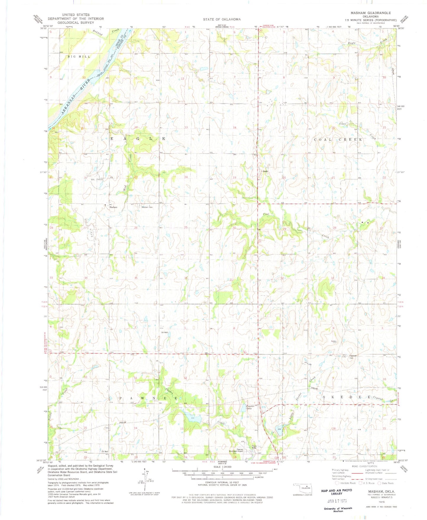
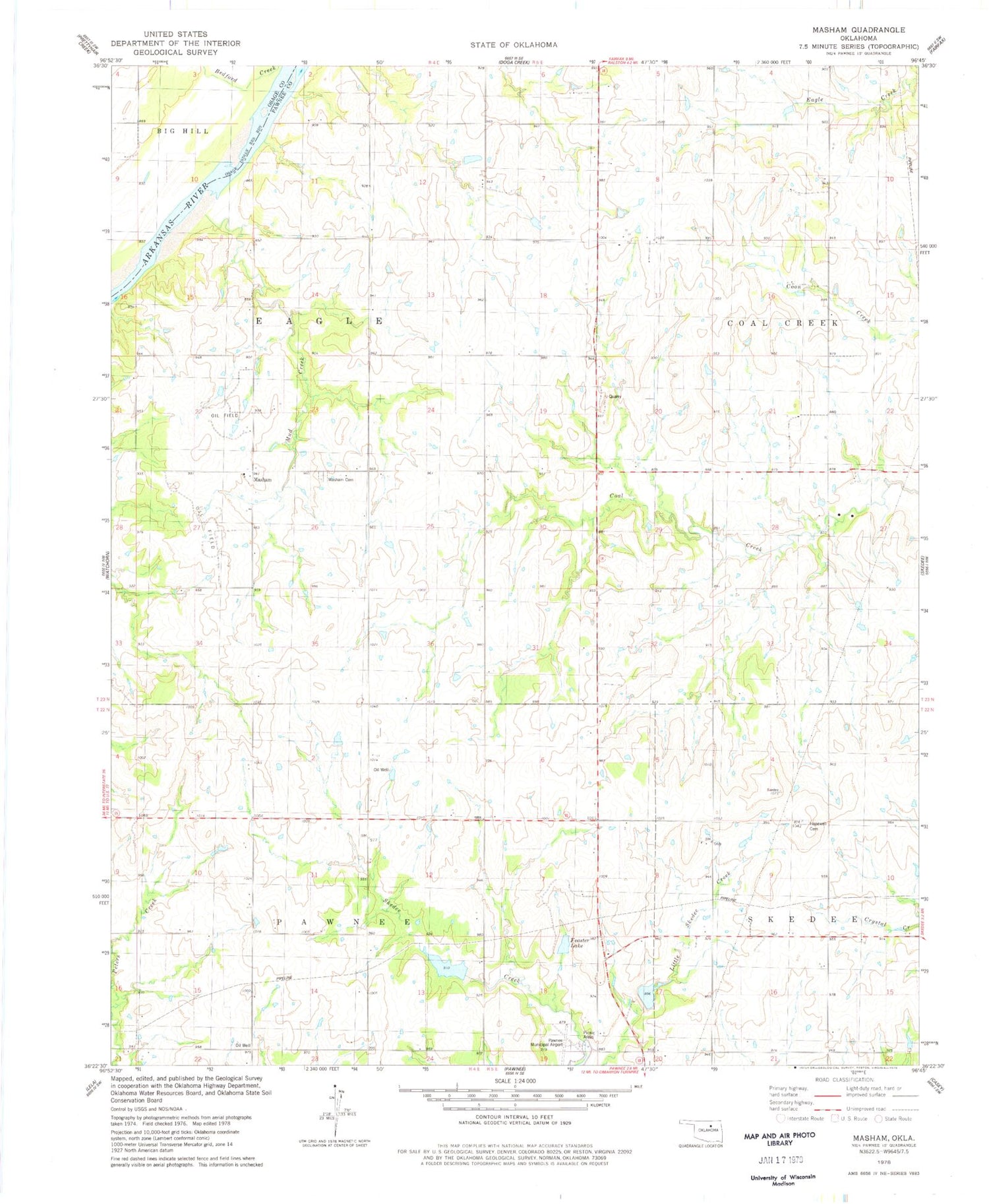
Classic USGS Masham Oklahoma 7.5'x7.5' Topo Map
Couldn't load pickup availability
Historical USGS topographic quad map of Masham in the state of Oklahoma. Map scale may vary for some years, but is generally around 1:24,000. Print size is approximately 24" x 27"
This quadrangle is in the following counties: Osage, Pawnee.
The map contains contour lines, roads, rivers, towns, and lakes. Printed on high-quality waterproof paper with UV fade-resistant inks, and shipped rolled.
Contains the following named places: Feaster Lake, Feaster Lake Dam, Hopewell Cemetery, Lower Black Bear Creek Site 3 Dam, Lower Black Bear Creek Site 3 Reservoir, Lower Black Bear Creek Site 4 Dam, Lower Black Bear Creek Site 4 Reservoir, Masham, Masham Cemetery, Mud Creek, Oknoname 117001 Dam, Oknoname 117001 Reservoir, Oknoname 117002 Dam, Oknoname 117002 Reservoir, Pawnee Municipal Airport, Township of Coal Creek, Township of Eagle, ZIP Code: 74650