MyTopo
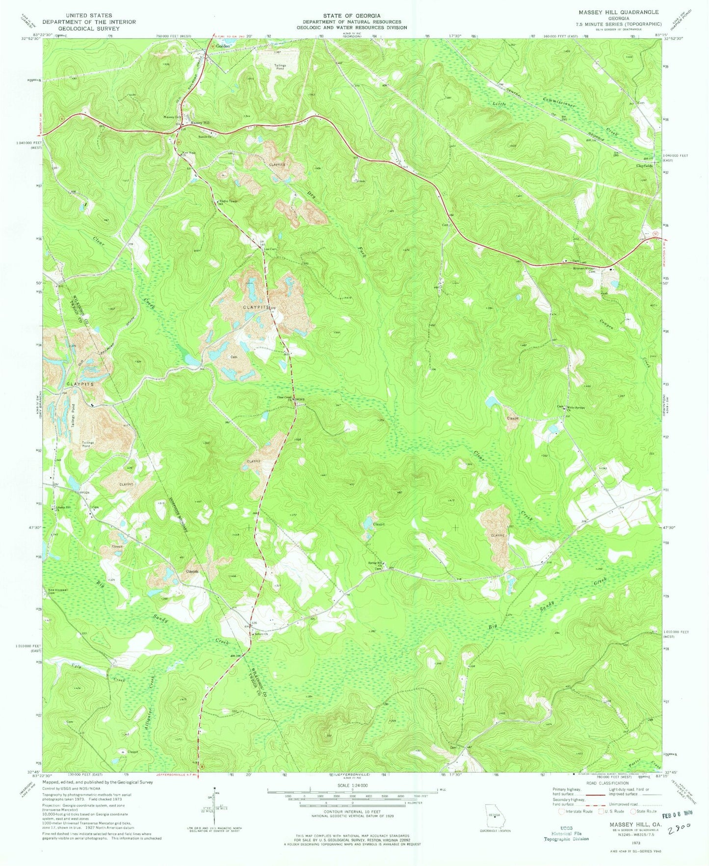
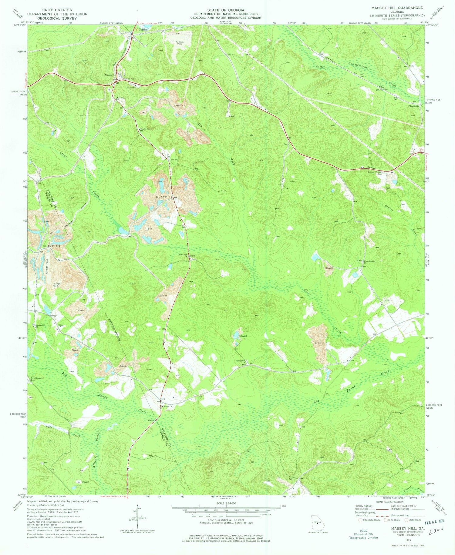
Classic USGS Massey Hill Georgia 7.5'x7.5' Topo Map
Couldn't load pickup availability
Historical USGS topographic quad map of Massey Hill in the state of Georgia. Map scale may vary for some years, but is generally around 1:24,000. Print size is approximately 24" x 27"
This quadrangle is in the following counties: Twiggs, Wilkinson.
The map contains contour lines, roads, rivers, towns, and lakes. Printed on high-quality waterproof paper with UV fade-resistant inks, and shipped rolled.
Contains the following named places: Alligator Creek, Asbury Cemetery, Asbury Church, Augustus Fountain Family Cemetery, Branan - Vinson Cemetery, Clayfields, Clear Creek, Clear Creek Baptist Cemetery, Clear Creek Church, Dry Fork, Faith Church, Freeport Kaolin Tailings Pond, Freeport Kaolin Tailings Pond Dam, Gordon Division, H A Fountain Bridge, Holloways - Hatfield Cemetery, Lee Cemetery, Liberty Hill Cemetery, Liberty Hill Church, Macon Rescue Mission Rehabilitation Farm, Massey Cemetery, Massey Hill, McArthur - Robinson Cemetery, Mercer Cemetery, New Hope Church, New Hopewell Cemetery, New Hopewell Church, Ramah Cemetery, Ramah Church, Shady Grove Cemetery, Spring Hill Church, Ugly Creek, White Springs Cemetery, White Springs Church, WMRW-FM (Gordon), ZIP Code: 31031


