MyTopo
Classic USGS Mathis Texas 7.5'x7.5' Topo Map
Couldn't load pickup availability
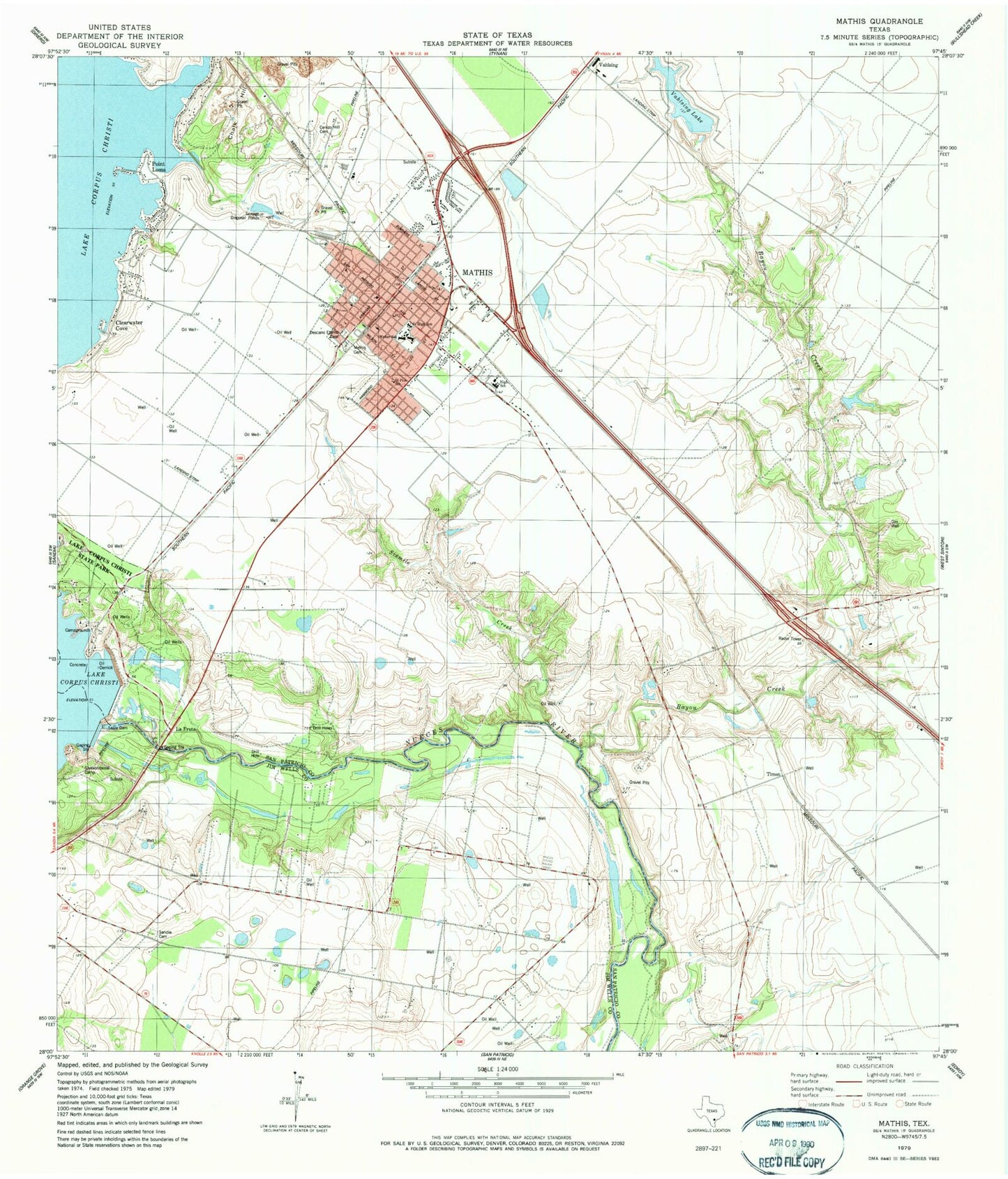
Historical USGS topographic quad map of Mathis in the state of Texas. Map scale may vary for some years, but is generally around 1:24,000. Print size is approximately 24" x 27"
This quadrangle is in the following counties: Jim Wells, San Patricio.
The map contains contour lines, roads, rivers, towns, and lakes. Printed on high-quality waterproof paper with UV fade-resistant inks, and shipped rolled.
Contains the following named places: Bayou Creek, Cenzo Hill Cemetery, Chalk Hill, City of Mathis, Clearwater Cove, Descanso Eterno Cemetery, Edgewater Estates, Edgewater Estates Census Designated Place, Edgewater Estates Number 1 Colonia, Edgewater Estates Number 3 Colonia, Edgewater-Paisano Census Designated Place, First Baptist Church, Gorbet Estates Colonia, Hardin Elementary School, Hardin School, Harmony Assembly of God Church, Hidden Acres, Hidden Acres Colonia, Jack Green Hollow, La Fruta, La Ponderosa Colonia, Lake Corpus Christi, Lakeshore Gardens-Hidden Acres Census Designated Place, Lakeside, Lakewood Heights, Mathis, Mathis Cemetery, Mathis City Hall, Mathis Division, Mathis Emergency Medical Services, Mathis High School, Mathis Intermediate School, Mathis Police Department, Mathis Post Office, Mathis Volunteer Fire and EMS Department, Mathis Volunteer Fire Department, McCraw Junior High School, Methodist Parsonage First United Church, Mount Pisgah Baptist Church, New Lake, New Lake Dam, Old Lake, Old Lake Dam, Paisano Park Census Designated Place, Paisano Park Colonia, Paiz Park, Point Loma, Saint Michaels Episcopal Church, Saint Pius School, San Patricio County Constable's Office Precinct 5, Sandia Census Designated Place, Sandia Gardens Colonia, Sandia Mobile Home Park Colonia, Shady Acres Colonia, Shawondasse Camp, Sixmile Creek, Town of Lakeside, Vahlasing Lake Dam, Vahlsing, Vahlsing Lake, Weber Hardin Elementary School, Weber School, Wesley E Seale Dam, ZIP Code: 78368


