MyTopo
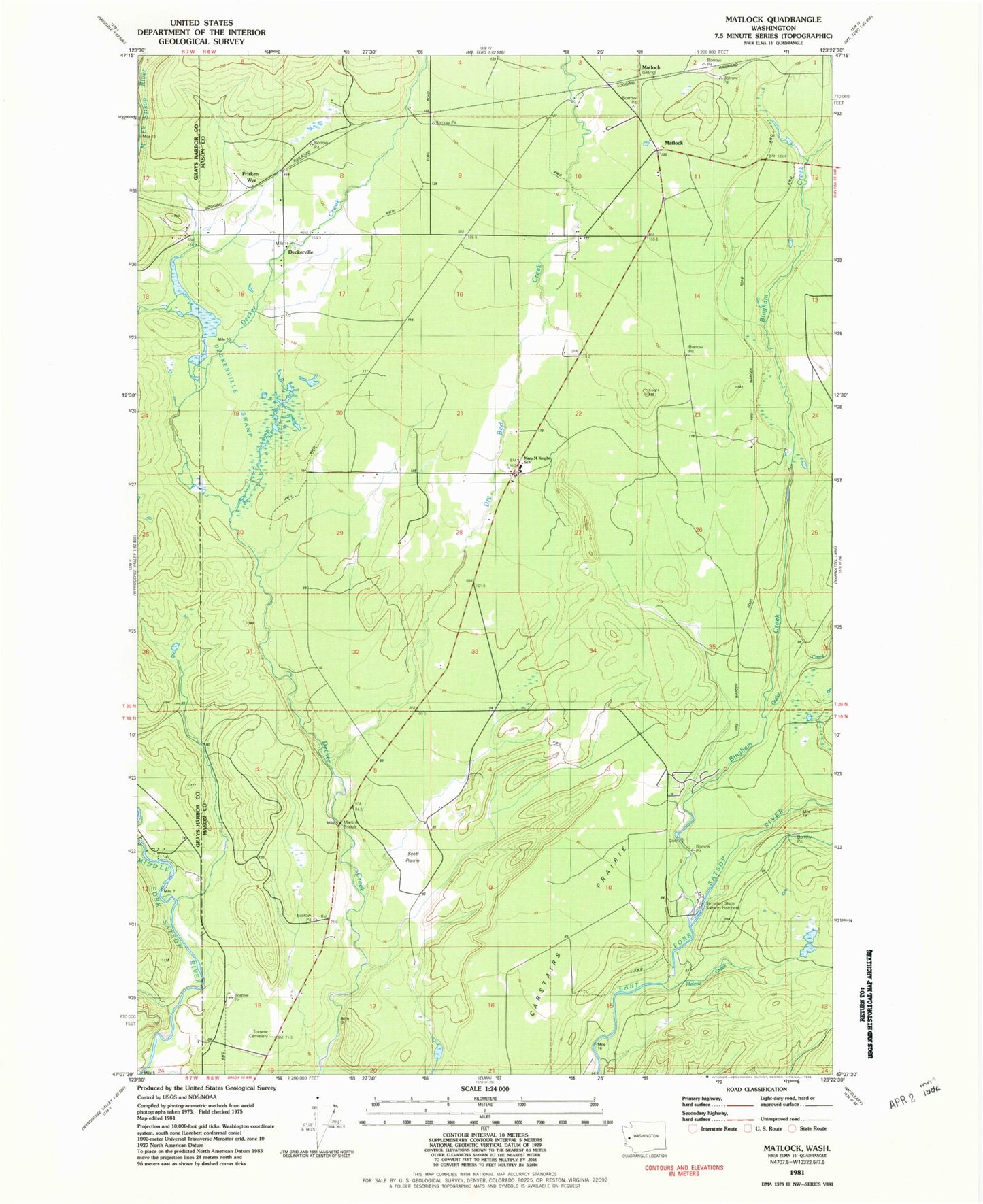
Classic USGS Matlock Washington 7.5'x7.5' Topo Map
Couldn't load pickup availability
Historical USGS topographic quad map of Matlock in the state of Washington. Map scale may vary for some years, but is generally around 1:24,000. Print size is approximately 24" x 27"
This quadrangle is in the following counties: Grays Harbor, Mason.
The map contains contour lines, roads, rivers, towns, and lakes. Printed on high-quality waterproof paper with UV fade-resistant inks, and shipped rolled.
Contains the following named places: Bingham Creek, Bingham Creek Trail, Carstairs Prairie, Deckerville, Deckerville Swamp, Dry Bed Creek, Frisken Wye, Grove Cemetery, Helene Creek, Martins Bridge, Mary M Knight Elementary School, Mason County Fire District 12, Matlock, Matlock Post Office, Outlet Creek, Scott Prairie, Simpson State Salmon Hatchery