MyTopo
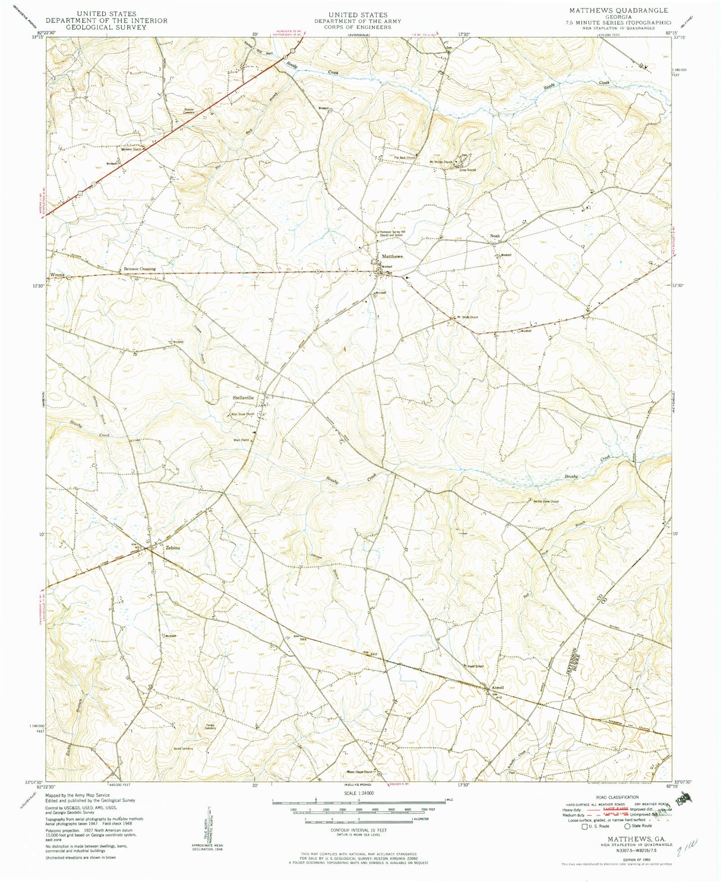
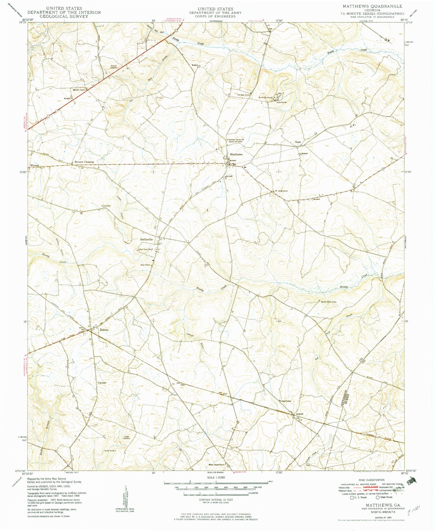
Classic USGS Matthews Georgia 7.5'x7.5' Topo Map
Couldn't load pickup availability
Historical USGS topographic quad map of Matthews in the state of Georgia. Map scale may vary for some years, but is generally around 1:24,000. Print size is approximately 24" x 27"
This quadrangle is in the following counties: Burke, Jefferson.
The map contains contour lines, roads, rivers, towns, and lakes. Printed on high-quality waterproof paper with UV fade-resistant inks, and shipped rolled.
Contains the following named places: Atwell, Atwell School, Beasley Cemetery, Brinson Crossing, Bull Nose Branch, Burke Cemetery, Carson Cemetery, Eliott Barrow Airport, Flat Rock Branch, Flat Rock Cemetery, Flat Rock Church, Goodins Pond, Gun Pond, Hadden Branch, Harmony Church, Johnson Branch, Jordan Branch, Littles Bridge, Matthews, Matthews Census Designated Place, Matthews Community Fire Department, Matthews Junior High School, Moses Chapel Church, Mosley Chapel Cemetery, Mount Horeb Cemetery, Mount Horeb Church, Mount Moriah Campgrounds, Mount Moriah Cemetery, Mount Moriah Church, Noah, Nortons Millrace, Ocala School, Oliphant Pond, Padgett Crossing, Pennington Lake, Pennington Lake Dam, Pilcher Lake, Pilcher Lake Dam, Smiths Grove Cemetery, Smiths Grove Church, Stellaville, Stellaville Junior High School, Thomas Spring Hill School, Thomason Spring Hill Church, Ways Bridge, Ways Cemetery, Ways Church, Ways Grove Cemetery, Ways Grove Church, Wrens Division, Zebina, ZIP Code: 30833


