MyTopo
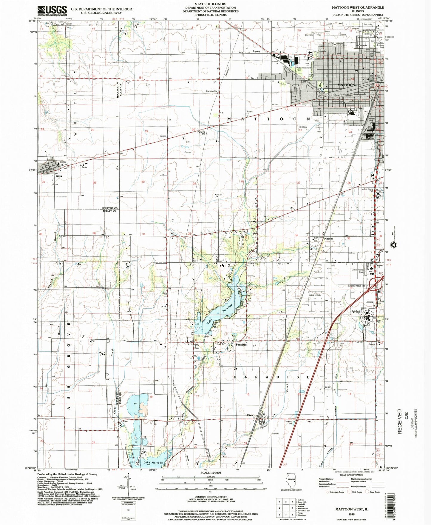
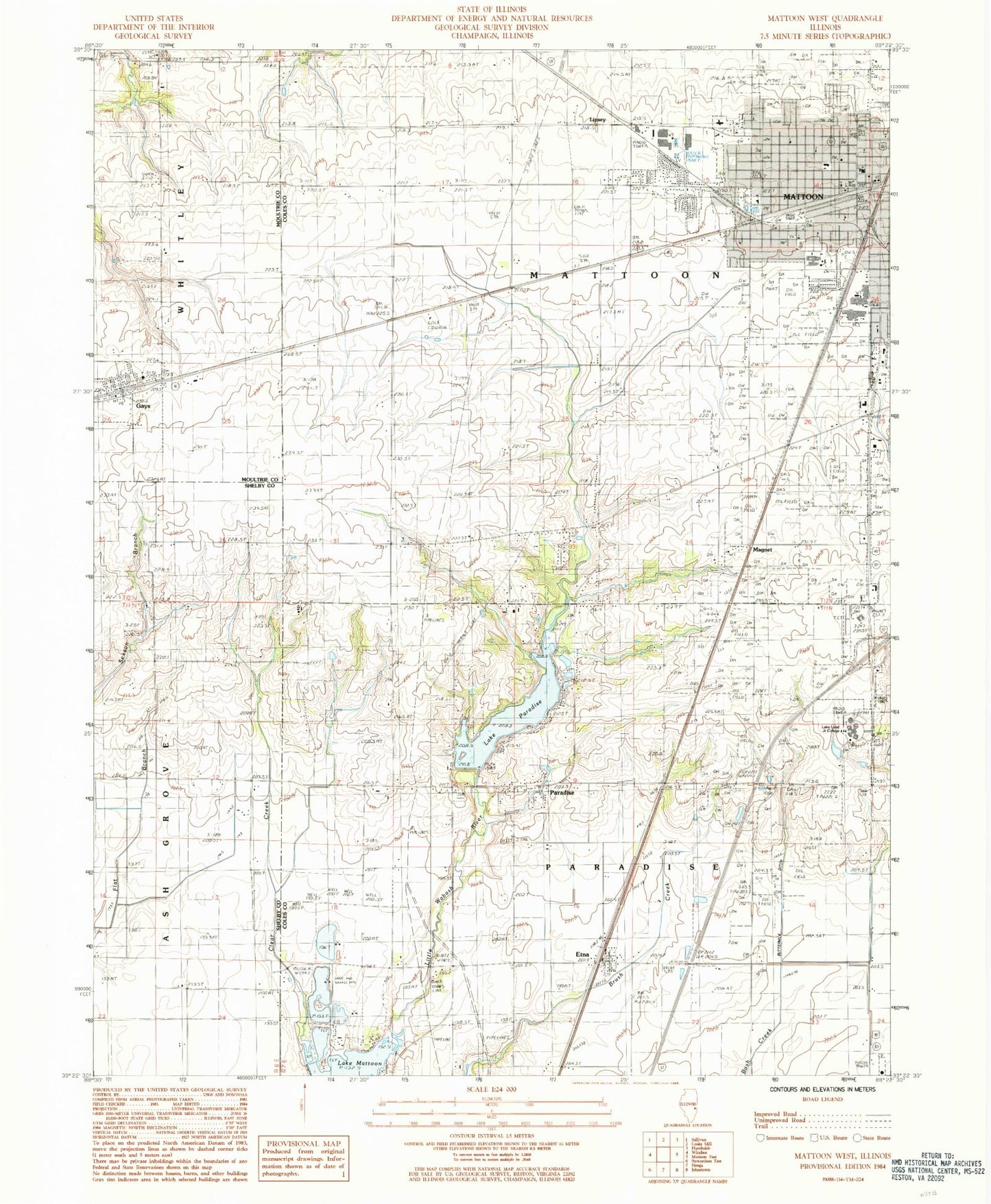
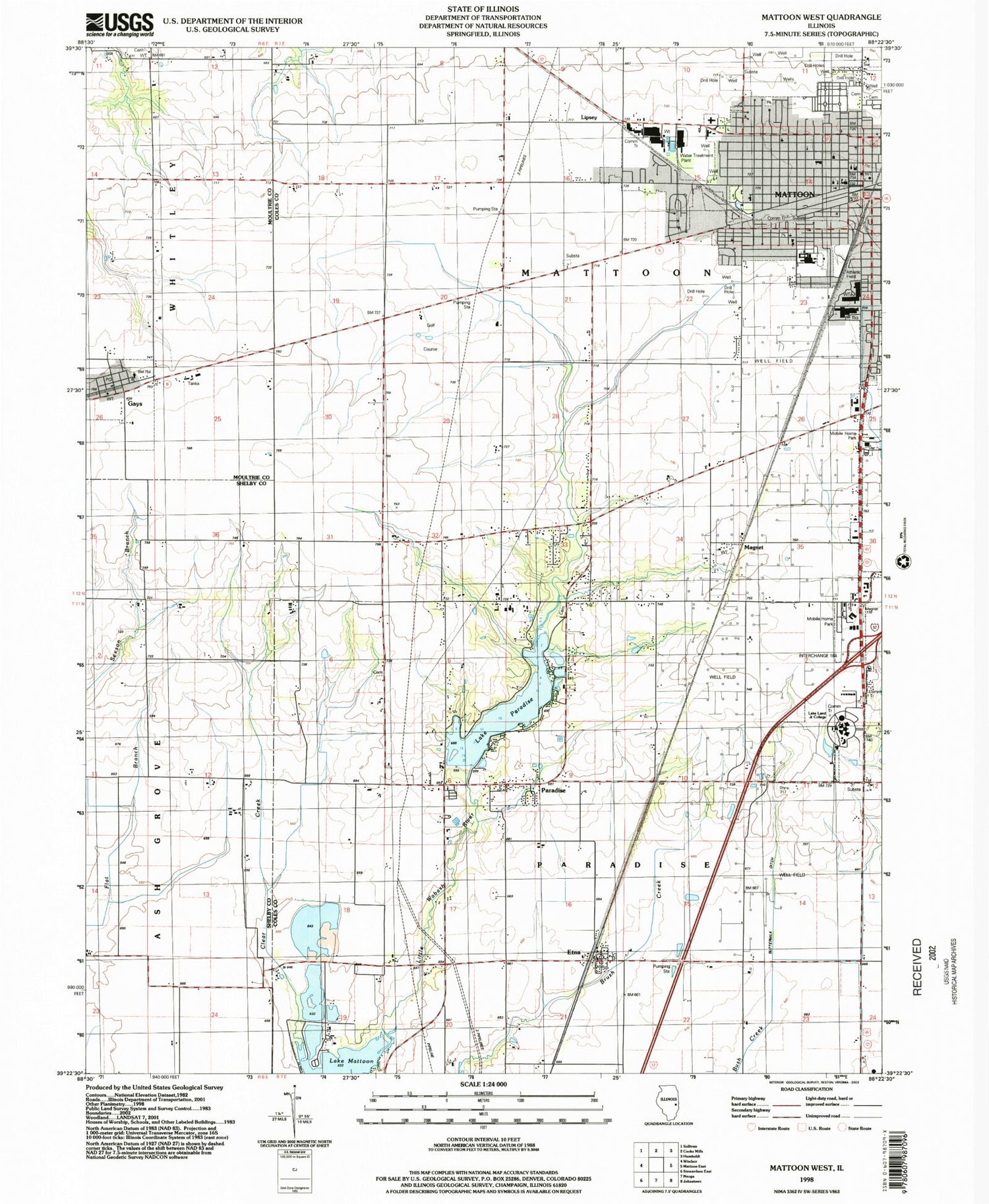
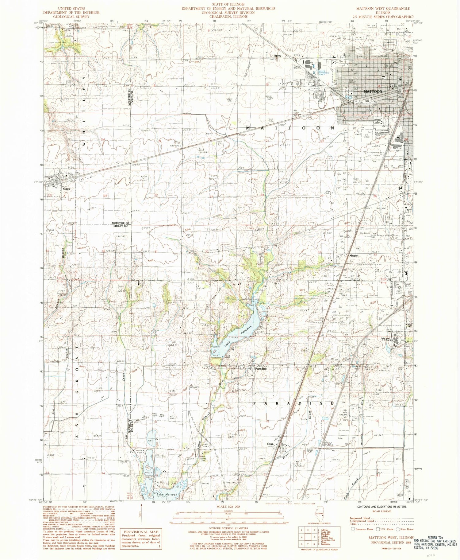
Classic USGS Mattoon West Illinois 7.5'x7.5' Topo Map
Couldn't load pickup availability
Historical USGS topographic quad map of Mattoon West in the state of Illinois. Map scale may vary for some years, but is generally around 1:24,000. Print size is approximately 24" x 27"
This quadrangle is in the following counties: Coles, Moultrie, Shelby.
The map contains contour lines, roads, rivers, towns, and lakes. Printed on high-quality waterproof paper with UV fade-resistant inks, and shipped rolled.
Contains the following named places: Bennett Elementary School, Burgess-Osborne Auditorium, Buttermilk Ditch, Buttermilk School, Calvary Cemetery, Campground Cemetery, Church of Christ, Columbian Elementary School, Curry Cemetery, Daily Pond, Daily Pond Dam, Davis Chapel African Methodist Episcopal Church, Dixie School, Dodge Grove Cemetery, Dole School, Dry Grove Cemetery, Dry Grove School, East Paradise School, Ellis Cemetery, Etna, Etna United Methodist Church, Faith Baptist Church, First Apostolic Church, First Baptist Church, First Church of the Nazarene, First Presbyterian Church, Flat Branch School, Four Mile School, Full Gospel Tabernacle, Gays, Gays Christian Church, Gays Post Office, Good Neighbor Shopping Center, Hawthorne Elementary School, Immaculate Conception Roman Catholic Church, Kinzel Field, Kinzel Park, Lake Land College, Lake Paradise, Lane Acres, Lipsey, Little Brick School, Lodge School, Lytle Park, Magnet, Marshall Avenue Christian Church, Mattoon City Hall, Mattoon Fire Department Station 1, Mattoon Fire Department Station 3, Mattoon High School, Mattoon Police Department, Memorial Hospital, Mound School, Paradise, Paradise School, Saint Marys School, Townley Farms Airport, Township of Mattoon, Township of Paradise, Trinity Episcopal Church, Union School, Vanlaningham Park, Village of Gays, Virgil H Judge Learning Resource Center, Wabash Fire Protection District, Wabash Point, Wabash School, Wayside Chapel Seventh Day Adventist Church, WLKL-FM (Mattoon), Zion Hill Cemetery


