
MyTopo
Classic USGS Matts Summit Utah 7.5'x7.5' Topo Map
Regular price
$16.95
Regular price
Sale price
$16.95
Unit price
per
Couldn't load pickup availability
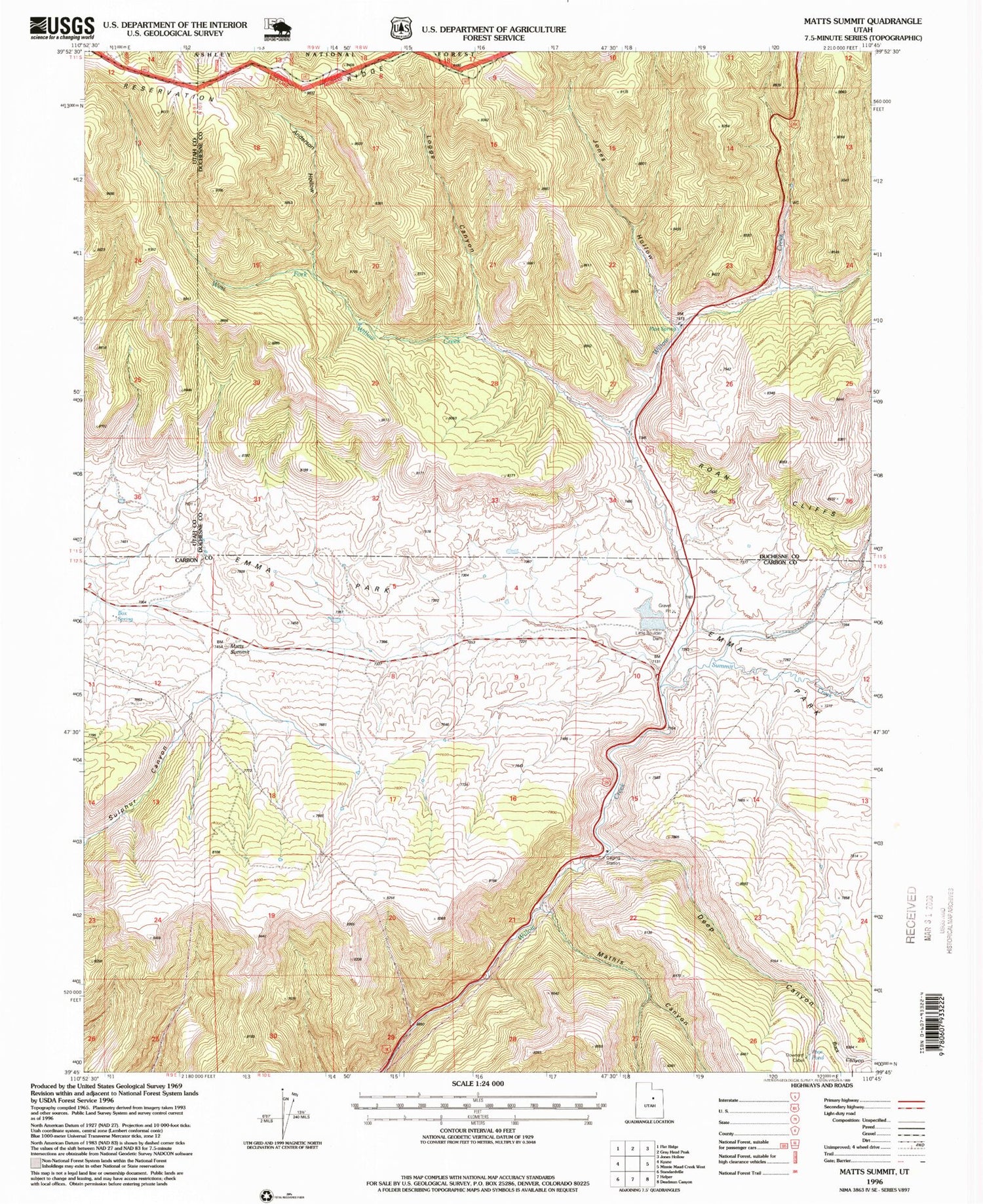
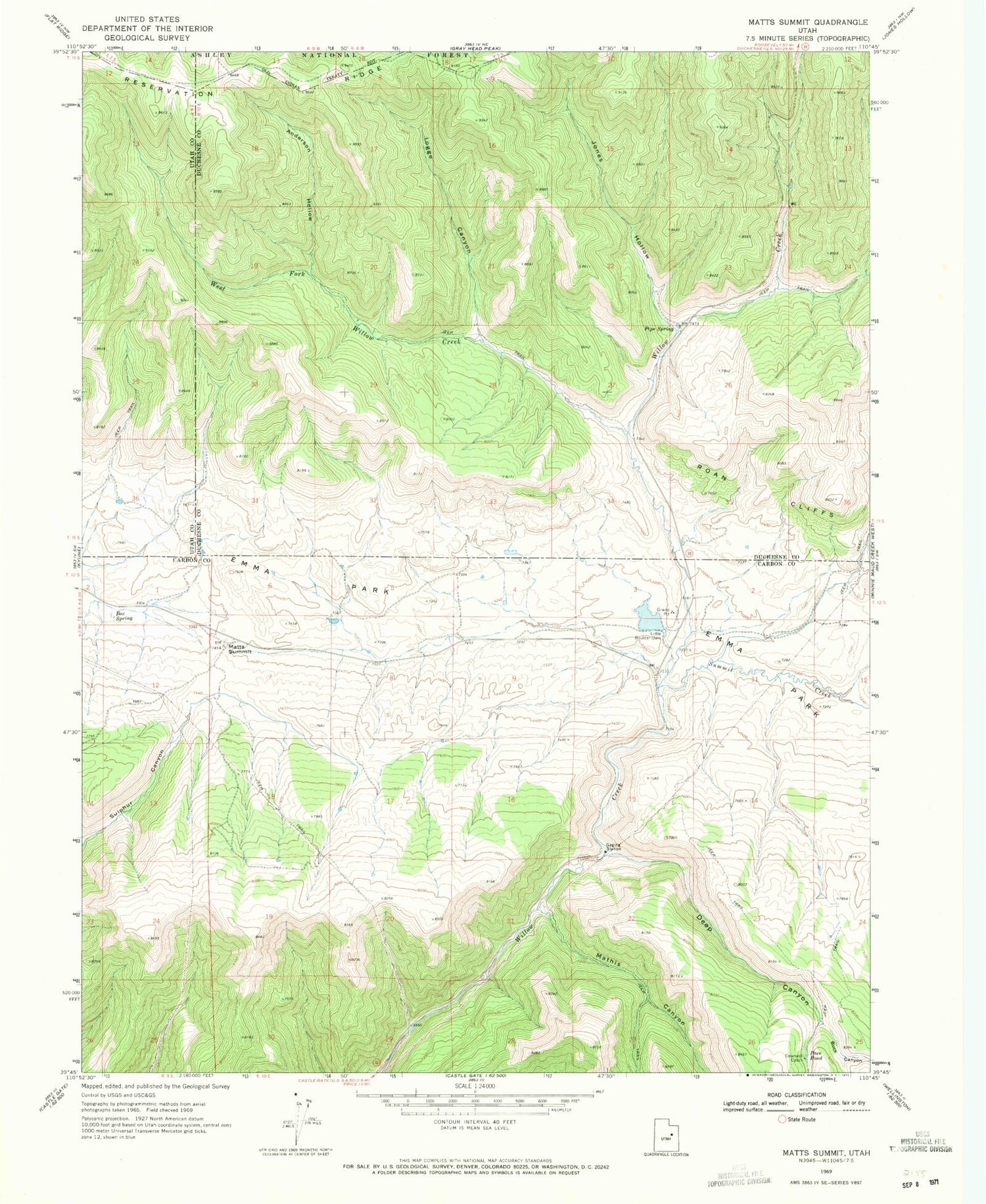
Historical USGS topographic quad map of Matts Summit in the state of Utah. Map scale may vary for some years, but is generally around 1:24,000. Print size is approximately 24" x 27"
This quadrangle is in the following counties: Carbon, Duchesne, Utah.
The map contains contour lines, roads, rivers, towns, and lakes. Printed on high-quality waterproof paper with UV fade-resistant inks, and shipped rolled.
Contains the following named places: Anderson Hollow, Bamberger Monument, Box Spring, Buck Canyon, Deep Canyon, Downard Cabin, Emma Park, Jack Canyon, Jones Hollow, Little Boulder Dam, Logge Canyon, Mathis Canyon, Matts Summit, Pace Pond, Pipe Spring, Summit Creek, West Fork Willow Creek


